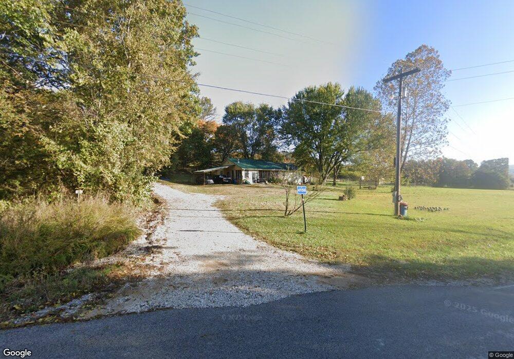
11796 Winter Rd West Fork, AR 72774
Estimated Value: $264,981 - $290,000
3
Beds
2
Baths
1,362
Sq Ft
$202/Sq Ft
Est. Value
About This Home
This home is located at 11796 Winter Rd, West Fork, AR 72774 and is currently estimated at $274,995, approximately $201 per square foot. 11796 Winter Rd is a home located in Washington County with nearby schools including Greenland Middle School, Greenland Elementary School, and Greenland High School.
Ownership History
Date
Name
Owned For
Owner Type
Purchase Details
Closed on
Aug 31, 2004
Sold by
Rust Gregory T
Bought by
Parker Bryan L and Parker Tamara M
Current Estimated Value
Home Financials for this Owner
Home Financials are based on the most recent Mortgage that was taken out on this home.
Original Mortgage
$95,000
Outstanding Balance
$47,015
Interest Rate
5.97%
Mortgage Type
Purchase Money Mortgage
Estimated Equity
$227,980
Purchase Details
Closed on
Feb 25, 1994
Bought by
Bolen Joe C
Purchase Details
Closed on
Jul 18, 1990
Bought by
Roberts Noah M and Roberts Fairies L
Create a Home Valuation Report for This Property
The Home Valuation Report is an in-depth analysis detailing your home's value as well as a comparison with similar homes in the area
Home Values in the Area
Average Home Value in this Area
Purchase History
| Date | Buyer | Sale Price | Title Company |
|---|---|---|---|
| Parker Bryan L | $95,000 | Elite Title Company Inc | |
| Bolen Joe C | $70,000 | -- | |
| Roberts Noah M | -- | -- |
Source: Public Records
Mortgage History
| Date | Status | Borrower | Loan Amount |
|---|---|---|---|
| Open | Parker Bryan L | $95,000 |
Source: Public Records
Tax History Compared to Growth
Tax History
| Year | Tax Paid | Tax Assessment Tax Assessment Total Assessment is a certain percentage of the fair market value that is determined by local assessors to be the total taxable value of land and additions on the property. | Land | Improvement |
|---|---|---|---|---|
| 2025 | $695 | $42,660 | $14,000 | $28,660 |
| 2024 | $738 | $42,660 | $14,000 | $28,660 |
| 2023 | $773 | $42,660 | $14,000 | $28,660 |
| 2022 | $811 | $28,200 | $7,730 | $20,470 |
| 2021 | $761 | $28,200 | $7,730 | $20,470 |
| 2020 | $711 | $28,200 | $7,730 | $20,470 |
| 2019 | $662 | $21,560 | $6,000 | $15,560 |
| 2018 | $687 | $21,560 | $6,000 | $15,560 |
| 2017 | $631 | $21,560 | $6,000 | $15,560 |
| 2016 | $676 | $21,560 | $6,000 | $15,560 |
| 2015 | $657 | $21,560 | $6,000 | $15,560 |
| 2014 | $594 | $19,760 | $5,500 | $14,260 |
Source: Public Records
Map
Nearby Homes
- 0 Trace Branch Rd Unit 1293042
- 11724 Brubaker Rd
- 12812 Parker Branch Rd
- TBD 7.49 Acres Slaty Gap Rd
- TBD 11 Acres Slaty Gap Rd
- 14790 Slaty Gap Rd
- 14605 Mineral Springs Rd
- 10088 S Whitehouse Rd
- 10578 S Smokey Bear Rd
- 10030 N Whitehouse Rd
- 10247 S Smokey Bear Rd
- 14206 Parker Branch Rd
- 10703 Thunder Rd
- 15500 Low Gap Rd
- TBD N Smokey Bear Rd
- 14161 Low Gap Rd
- 163 Acres Low Gap Rd
- 14159 Low Gap Wc 100 Rd
- 1464 W Hendon St Unit 101
- 1464 W Hendon St
- 0 Trace Branch Rd Unit 504113
- 0 Trace Branch Rd Unit 504118
- 0 Trace Branch Rd Unit 504158
- 0 Trace Branch Rd Unit 455422
- 0 Trace Branch Rd Unit 290180
- 0 Trace Branch Rd Unit 417431
- 0 Trace Branch Rd Unit 24007850
- 0 Trace Branch Rd Unit 514634
- 0 Trace Branch Rd Unit 605364
- 16576 Trace Branch Rd
- 16600 Trace Branch Rd
- 16651 Trace Branch Rd
- 16270 Trace Branch Rd
- 11529 Brubaker Rd
- 11505 Brubaker Rd
- 11450 Brubaker Rd
- 11483 Brubaker Rd
- 11546 Brubaker Rd
- 11596 Brubaker Rd
- 11702 Brubaker Rd