118 Allenton Ferry Dr New London, NC 28127
Estimated Value: $838,000 - $1,044,000
3
Beds
4
Baths
4,081
Sq Ft
$231/Sq Ft
Est. Value
About This Home
This home is located at 118 Allenton Ferry Dr, New London, NC 28127 and is currently estimated at $942,550, approximately $230 per square foot. 118 Allenton Ferry Dr is a home located in Montgomery County with nearby schools including Troy Elementary School, Page Street Elementary School, and West Middle School.
Ownership History
Date
Name
Owned For
Owner Type
Purchase Details
Closed on
Oct 12, 2010
Sold by
Deo Michael G and Deo Jacqueline
Bought by
Bennett Christopher S and Bennett Demetria H
Current Estimated Value
Purchase Details
Closed on
Aug 4, 2010
Sold by
Wells Fargo Bank Na
Bought by
Bennett Christopher and Bennett Demetria
Purchase Details
Closed on
May 14, 2010
Sold by
Bishop Phillip G and Leahey Stephanie Rose
Bought by
Wellss Fargo Bank Na
Create a Home Valuation Report for This Property
The Home Valuation Report is an in-depth analysis detailing your home's value as well as a comparison with similar homes in the area
Home Values in the Area
Average Home Value in this Area
Purchase History
| Date | Buyer | Sale Price | Title Company |
|---|---|---|---|
| Bennett Christopher S | $25,000 | -- | |
| Bennett Christopher | $17,500 | -- | |
| Wellss Fargo Bank Na | $15,577 | -- |
Source: Public Records
Tax History Compared to Growth
Tax History
| Year | Tax Paid | Tax Assessment Tax Assessment Total Assessment is a certain percentage of the fair market value that is determined by local assessors to be the total taxable value of land and additions on the property. | Land | Improvement |
|---|---|---|---|---|
| 2025 | $4,035 | $588,987 | $15,708 | $573,279 |
| 2024 | $4,035 | $588,987 | $15,708 | $573,279 |
| 2023 | $4,035 | $588,987 | $15,708 | $573,279 |
| 2022 | $4,035 | $588,987 | $15,708 | $573,279 |
| 2021 | $3,946 | $588,987 | $15,708 | $573,279 |
| 2020 | $3,946 | $588,987 | $15,708 | $573,279 |
| 2018 | $4,028 | $596,700 | $62,748 | $533,952 |
| 2017 | $4,036 | $596,700 | $62,748 | $533,952 |
| 2016 | $4,028 | $596,700 | $62,748 | $533,952 |
| 2015 | $3,759 | $596,700 | $0 | $0 |
| 2014 | $3,759 | $596,708 | $0 | $0 |
Source: Public Records
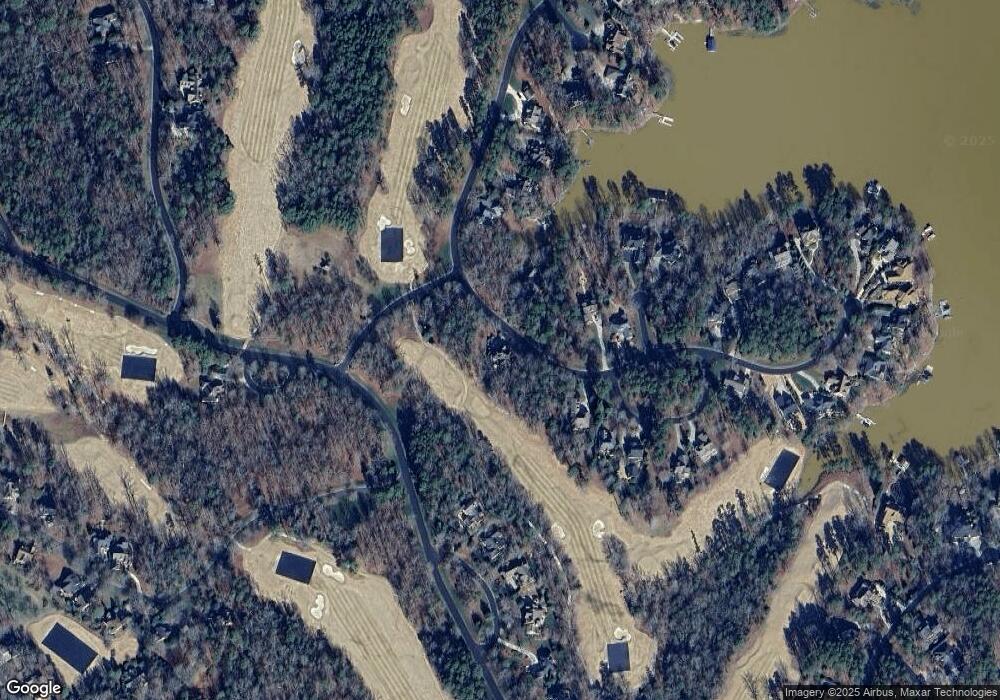
Map
Nearby Homes
- 108 Canoe Landing
- 118 Candor Oaks
- 118 Gatlin Knoll
- 114 Candor Oaks
- 117 Whitley Mill Ln
- 117 Whitley Mill Rd
- 202 Pattersons Bridge
- 202 Patterson's Bridge None
- 122 Patterson's Bridge
- 441 Glenbrook Springs Spring
- 110 Watch Harbor Rd
- 441 Glenbrook Springs None
- 441 Glenbrook Spring
- 115 Evergreen Ln
- 123 Coggins Mine None
- 120 Swift Island Place
- 137 Heron Bay Dr
- 102 Archer Glen Unit 27
- 168 Porters Glen Unit 55
- 144 Heron Bay Dr
- 130 Allenton Ferry Dr
- 112 Allenton Ferry Dr
- 125 Allenton Ferry Dr
- 136 Allenton Ferry Dr
- 136 Allenton Ferry Dr Unit 6
- 123 Allenton Ferry Dr
- 104 Allenton Ferry Dr
- 149 Allenton Ferry Dr
- 142 Allenton Ferry Dr
- 203 Allenton Ferry Dr
- 102 Gatlin Knoll
- 115 Canoe Landing
- 110 Pennington Ferry
- 103 Lassiter Mill Rd
- 12 Millingport Ln
- 112 Gatlin Knoll
- 117 Canoe Landing
- 135 Allenton Ferry Dr
- 128 Pennington Ferry
- 109 Lassiter Mill Rd