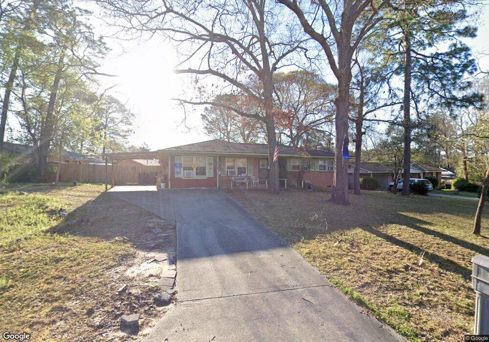
118 Amber Dr Warner Robins, GA 31088
Estimated Value: $145,000 - $177,000
3
Beds
2
Baths
1,370
Sq Ft
$115/Sq Ft
Est. Value
About This Home
This home is located at 118 Amber Dr, Warner Robins, GA 31088 and is currently estimated at $158,145, approximately $115 per square foot. 118 Amber Dr is a home located in Houston County with nearby schools including Russell Elementary School, Warner Robins Middle School, and Warner Robins High School.
Ownership History
Date
Name
Owned For
Owner Type
Purchase Details
Closed on
Feb 22, 2006
Sold by
Wylie Charles A
Bought by
Wylie Charles A and Wylie Nancy D
Current Estimated Value
Home Financials for this Owner
Home Financials are based on the most recent Mortgage that was taken out on this home.
Original Mortgage
$67,000
Interest Rate
6.05%
Mortgage Type
VA
Purchase Details
Closed on
Feb 20, 2006
Sold by
Burney William Horning
Bought by
Wylie Charles A
Home Financials for this Owner
Home Financials are based on the most recent Mortgage that was taken out on this home.
Original Mortgage
$67,000
Interest Rate
6.05%
Mortgage Type
VA
Purchase Details
Closed on
Dec 20, 1969
Sold by
Tyree Realty Co Inc
Bought by
Burney William Horning
Purchase Details
Closed on
Aug 2, 1968
Sold by
Williams Eugene
Bought by
Tyree Realty Co Inc
Purchase Details
Closed on
Dec 14, 1967
Bought by
Williams Eugene
Create a Home Valuation Report for This Property
The Home Valuation Report is an in-depth analysis detailing your home's value as well as a comparison with similar homes in the area
Home Values in the Area
Average Home Value in this Area
Purchase History
| Date | Buyer | Sale Price | Title Company |
|---|---|---|---|
| Wylie Charles A | -- | None Available | |
| Wylie Charles A | $67,000 | None Available | |
| Burney William Horning | -- | -- | |
| Tyree Realty Co Inc | -- | -- | |
| Williams Eugene | -- | -- |
Source: Public Records
Mortgage History
| Date | Status | Borrower | Loan Amount |
|---|---|---|---|
| Previous Owner | Wylie Charles A | $67,000 |
Source: Public Records
Tax History
| Year | Tax Paid | Tax Assessment Tax Assessment Total Assessment is a certain percentage of the fair market value that is determined by local assessors to be the total taxable value of land and additions on the property. | Land | Improvement |
|---|---|---|---|---|
| 2025 | $1,191 | $56,720 | $8,000 | $48,720 |
| 2024 | $1,293 | $53,200 | $8,000 | $45,200 |
| 2023 | $840 | $39,120 | $8,000 | $31,120 |
| 2022 | $552 | $33,160 | $5,200 | $27,960 |
| 2021 | $423 | $27,440 | $5,200 | $22,240 |
| 2020 | $425 | $27,440 | $5,200 | $22,240 |
| 2019 | $637 | $27,440 | $5,200 | $22,240 |
| 2018 | $637 | $27,440 | $5,200 | $22,240 |
| 2017 | $638 | $27,440 | $5,200 | $22,240 |
| 2016 | $639 | $27,440 | $5,200 | $22,240 |
| 2015 | -- | $29,680 | $5,200 | $24,480 |
| 2014 | -- | $29,680 | $5,200 | $24,480 |
| 2013 | -- | $29,680 | $5,200 | $24,480 |
Source: Public Records
Map
Nearby Homes
- 223 Randy Cir
- 114 Tommy Terrace
- 114 Windsor Dr
- 305 Bonnie Dr
- 223 Highland Dr
- 205 Sonja Dr
- 209 Tracy Terrace
- 213 Self St
- 107 Woodfield Dr
- 101 Sunnybrook Ct
- 302 Creek Ridge Dr
- 1850 Russell Pkwy
- 0 Russell Pkwy Unit 10656199
- 118 Fox Glove Ct
- 201 Bayside Dr
- 25 & 26 Lot
- 119 Colonial Rd
- 510 Arrowhead Trail
- 505 Ashby Way
- 108 Woodsdale Dr
Your Personal Tour Guide
Ask me questions while you tour the home.