Estimated Value: $200,000 - $259,000
3
Beds
2
Baths
1,186
Sq Ft
$190/Sq Ft
Est. Value
About This Home
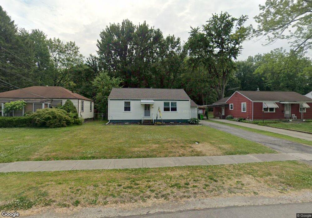
This home is located at 118 Andrew St, Berea, OH 44017 and is currently estimated at $224,947, approximately $189 per square foot. 118 Andrew St is a home located in Cuyahoga County with nearby schools including Grindstone Elementary School, Berea-Midpark Middle School, and Berea-Midpark High School.
Ownership History
Date
Name
Owned For
Owner Type
Purchase Details
Closed on
Sep 23, 2009
Sold by
Rhoda Russell Scott and Rhoda Carrie Anne
Bought by
Blankenship Shelly A
Current Estimated Value
Home Financials for this Owner
Home Financials are based on the most recent Mortgage that was taken out on this home.
Original Mortgage
$112,500
Outstanding Balance
$74,281
Interest Rate
5.38%
Mortgage Type
Purchase Money Mortgage
Estimated Equity
$150,666
Purchase Details
Closed on
Jul 28, 1998
Sold by
Nitzsche Carl R and Nitzsche Ruth
Bought by
Rhoda Russell Scott
Home Financials for this Owner
Home Financials are based on the most recent Mortgage that was taken out on this home.
Original Mortgage
$96,800
Interest Rate
7.25%
Mortgage Type
VA
Purchase Details
Closed on
Nov 15, 1979
Sold by
Nitzsche Carl R and Nitzsche Ruth
Bought by
Nitzsche Carl R
Purchase Details
Closed on
Jan 1, 1975
Bought by
Nitzsche Carl R and Nitzsche Ruth
Create a Home Valuation Report for This Property
The Home Valuation Report is an in-depth analysis detailing your home's value as well as a comparison with similar homes in the area
Home Values in the Area
Average Home Value in this Area
Purchase History
| Date | Buyer | Sale Price | Title Company |
|---|---|---|---|
| Blankenship Shelly A | $125,000 | Signature Title | |
| Rhoda Russell Scott | $106,000 | Executive Title Agency Corp | |
| Nitzsche Carl R | -- | -- | |
| Nitzsche Carl R | -- | -- |
Source: Public Records
Mortgage History
| Date | Status | Borrower | Loan Amount |
|---|---|---|---|
| Open | Blankenship Shelly A | $112,500 | |
| Previous Owner | Rhoda Russell Scott | $96,800 |
Source: Public Records
Tax History Compared to Growth
Tax History
| Year | Tax Paid | Tax Assessment Tax Assessment Total Assessment is a certain percentage of the fair market value that is determined by local assessors to be the total taxable value of land and additions on the property. | Land | Improvement |
|---|---|---|---|---|
| 2024 | $3,580 | $61,880 | $13,195 | $48,685 |
| 2023 | $3,813 | $46,660 | $11,170 | $35,490 |
| 2022 | $3,202 | $46,660 | $11,170 | $35,490 |
| 2021 | $3,175 | $46,660 | $11,170 | $35,490 |
| 2020 | $3,031 | $39,520 | $9,450 | $30,070 |
| 2019 | $2,951 | $112,900 | $27,000 | $85,900 |
| 2018 | $2,943 | $39,520 | $9,450 | $30,070 |
| 2017 | $3,361 | $42,010 | $8,580 | $33,430 |
| 2016 | $3,336 | $42,010 | $8,580 | $33,430 |
| 2015 | $3,284 | $42,010 | $8,580 | $33,430 |
| 2014 | $3,284 | $43,760 | $8,930 | $34,830 |
Source: Public Records
Map
Nearby Homes
- 19419 Fowles Rd
- 159 Eastland Rd
- 147 Adams St
- 7400 Engle Rd
- 7344 Engle Rd
- 0 E Bagley Rd Unit 5111166
- 41 Riverside Dr
- 8080 Oxford Dr
- 47 Prospect St
- 325 Robin Dr
- 202 4th Ave
- 190 Lee Rd
- 7254 Craigmere Dr
- 7221 Craigmere Dr
- 74 Aaron St
- 18156 Broxton Dr
- 135 W Bagley Rd
- 18203 Broxton Dr
- 18676 N Winding Oak Dr
- 16365 Barriemore Ave