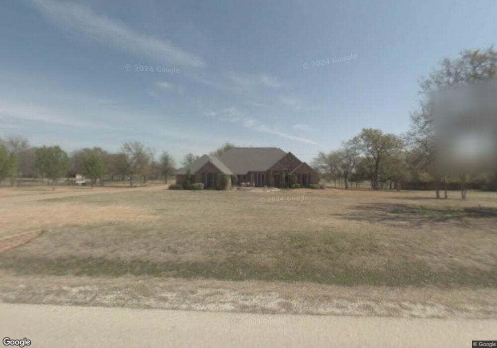
118 Arapahoe Ridge Weatherford, TX 76087
Estimated Value: $629,340 - $776,000
4
Beds
3
Baths
3,266
Sq Ft
$208/Sq Ft
Est. Value
About This Home
This home is located at 118 Arapahoe Ridge, Weatherford, TX 76087 and is currently estimated at $677,835, approximately $207 per square foot. 118 Arapahoe Ridge is a home located in Parker County with nearby schools including Austin Elementary School, Hall Middle School, and Weatherford High School.
Ownership History
Date
Name
Owned For
Owner Type
Purchase Details
Closed on
Jul 18, 2003
Sold by
Mcduff Frank M and Mcduff Marsha C
Bought by
Baldwin Richard B and Baldwin Judith A
Current Estimated Value
Purchase Details
Closed on
Jun 2, 2000
Sold by
Sallee Land Corporation
Bought by
Baldwin Richard B and Baldwin Judith A
Purchase Details
Closed on
Aug 23, 1999
Sold by
Sallee Land Corporation
Bought by
Baldwin Richard B and Baldwin Judith A
Purchase Details
Closed on
Jan 1, 1901
Bought by
Baldwin Richard B and Baldwin Judith A
Create a Home Valuation Report for This Property
The Home Valuation Report is an in-depth analysis detailing your home's value as well as a comparison with similar homes in the area
Home Values in the Area
Average Home Value in this Area
Purchase History
| Date | Buyer | Sale Price | Title Company |
|---|---|---|---|
| Baldwin Richard B | -- | -- | |
| Baldwin Richard B | -- | -- | |
| Baldwin Richard B | -- | -- | |
| Baldwin Richard B | -- | -- |
Source: Public Records
Tax History Compared to Growth
Tax History
| Year | Tax Paid | Tax Assessment Tax Assessment Total Assessment is a certain percentage of the fair market value that is determined by local assessors to be the total taxable value of land and additions on the property. | Land | Improvement |
|---|---|---|---|---|
| 2025 | $3,672 | $623,820 | $150,000 | $473,820 |
| 2024 | $3,672 | $592,031 | -- | -- |
| 2023 | $3,672 | $538,210 | $0 | $0 |
| 2022 | $5,923 | $489,290 | $105,000 | $384,290 |
| 2021 | $9,820 | $489,290 | $105,000 | $384,290 |
| 2020 | $8,961 | $441,800 | $105,000 | $336,800 |
| 2019 | $8,921 | $441,800 | $105,000 | $336,800 |
| 2018 | $8,153 | $374,820 | $90,000 | $284,820 |
| 2017 | $8,297 | $374,820 | $90,000 | $284,820 |
| 2016 | $7,543 | $339,840 | $90,000 | $249,840 |
| 2015 | $5,579 | $339,840 | $90,000 | $249,840 |
| 2014 | $5,348 | $307,730 | $90,000 | $217,730 |
Source: Public Records
Map
Nearby Homes
- 221 Arapahoe Ridge
- 115 Autumn Springs Ct
- 344 Clear Lake Ln
- 105 Country Green Ct
- 104 Carriage Hill Ct
- 2113 Country Brook Dr
- 2020 Maplewood Dr
- 2218 Lake Country Dr
- 2102 Clear Creek Dr
- 1910 Maplewood Dr
- 2214 Lake Country Dr
- 2904 E Bankhead Hwy
- 2116 Clear Lake Rd
- 1905 Clear Creek Dr
- 401 Dixon Rd
- 2202 Lakeforest Dr
- 2001 Santa fe Dr
- 510 Lockwood Ln
- 1421 Highlake Ln
- 128 Black Forest Dr
- 112 Arapahoe Ridge
- 130 Arapahoe Ridge
- 1937 Circleview Dr
- 121 Arapahoe Ridge
- 104 Arapahoe Ridge
- 1938 Circleview Dr
- 7 Arapahoe Ridge
- 9 Arapahoe Ridge
- 5 Arapahoe Ridge
- 8 Arapahoe Ridge
- 6 Arapahoe Ridge
- 135 Arapahoe Ridge
- 115 Ancient Bend
- 136 Arapahoe Ridge
- 112 Ancient Bend
- 1933 Circleview Dr
- 1934 Circleview Dr
- 147 Arapahoe Ridge
- 120 Ancient Bend
- 106 Woodhaven Ct