Estimated Value: $744,510 - $843,000
3
Beds
2
Baths
1,460
Sq Ft
$541/Sq Ft
Est. Value
About This Home
This home is located at 118 Ash Tree Trail, Wells, ME 04090 and is currently estimated at $789,628, approximately $540 per square foot. 118 Ash Tree Trail is a home with nearby schools including Wells Junior High School, Wells Elementary School, and Wells High School.
Ownership History
Date
Name
Owned For
Owner Type
Purchase Details
Closed on
Dec 16, 2013
Sold by
Pratt Scot
Bought by
Tincher Walter and Tincher Constance
Current Estimated Value
Home Financials for this Owner
Home Financials are based on the most recent Mortgage that was taken out on this home.
Original Mortgage
$283,844
Outstanding Balance
$210,268
Interest Rate
4.14%
Mortgage Type
New Conventional
Estimated Equity
$579,360
Purchase Details
Closed on
Apr 18, 2012
Sold by
Eagle Dev Llc and Wasak Robert P
Bought by
Wasak Susan K and Wasak Robert P
Create a Home Valuation Report for This Property
The Home Valuation Report is an in-depth analysis detailing your home's value as well as a comparison with similar homes in the area
Home Values in the Area
Average Home Value in this Area
Purchase History
| Date | Buyer | Sale Price | Title Company |
|---|---|---|---|
| Tincher Walter | -- | -- | |
| Tincher Walter | -- | -- | |
| Wasak Susan K | -- | -- | |
| Eagle Dev Llc | -- | -- | |
| Wasak Susan K | -- | -- |
Source: Public Records
Mortgage History
| Date | Status | Borrower | Loan Amount |
|---|---|---|---|
| Open | Tincher Walter | $283,844 | |
| Closed | Wasak Susan K | $283,844 |
Source: Public Records
Tax History Compared to Growth
Tax History
| Year | Tax Paid | Tax Assessment Tax Assessment Total Assessment is a certain percentage of the fair market value that is determined by local assessors to be the total taxable value of land and additions on the property. | Land | Improvement |
|---|---|---|---|---|
| 2024 | $3,581 | $588,940 | $217,040 | $371,900 |
| 2023 | $3,510 | $588,940 | $217,040 | $371,900 |
| 2022 | $3,458 | $330,580 | $98,610 | $231,970 |
| 2021 | $3,478 | $330,580 | $98,610 | $231,970 |
| 2020 | $3,464 | $330,580 | $98,610 | $231,970 |
| 2019 | $3,442 | $330,330 | $98,610 | $231,720 |
| 2018 | $3,348 | $330,330 | $98,610 | $231,720 |
| 2017 | $3,356 | $330,330 | $98,610 | $231,720 |
| 2016 | $3,323 | $330,330 | $98,610 | $231,720 |
| 2015 | $3,287 | $330,330 | $98,610 | $231,720 |
| 2013 | $899 | $98,610 | $98,610 | $0 |
Source: Public Records
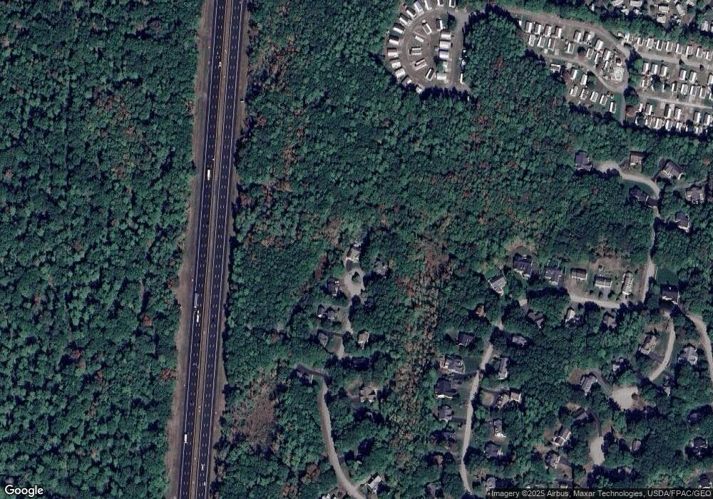
Map
Nearby Homes
- 173 Emerson Dr
- 381 Littlefield Rd
- 53 Spinnaker Ridge Dr Unit 8
- 94 Pine Ledge Dr
- 191 Tatnic Rd Unit 73
- 1 Old County Rd Unit 702
- 1 Old County Rd Unit 165
- 1 Old County Rd Unit 132
- 430 Post Rd Unit 320
- 430 Post Rd Unit 181
- 430 Post Rd Unit 98
- 430 Post Rd Unit 130
- 430 Post Rd Unit 256
- 430 Post Rd Unit 325
- 430 Post Rd Unit 177
- 430 Post Rd Unit 184
- 430 Post Rd Unit 186
- 430 Post Rd Unit 55
- 430 Post Rd Unit 277
- 430 Post Rd Unit 323
- 115 Ash Tree Trail
- 112 Ash Tree Trail
- 91 Ash Tree Trail Lot 91
- Lot 91 Ash Tree Trail
- Lot 90 Ash Tree Trail
- 105 Ash Tree Trail
- 97 Ash Tree Trail
- lot 88 Ash Tree Trail
- 102 Ash Tree Trail
- 85 Ash Tree Trail
- 92 Ash Tree Trail
- 90 Ash Tree Trail
- 89 Ash Tree Trail
- Lot #89 Ash Tree Trail
- lot 65 Corner Rabbit Run Ash Tree Trail
- 84 Ash Tree Trail
- 129 Rabbit Run
- 141 Rabbit Run
- 135 Rabbit Run
- 69 Ash Tree Trail