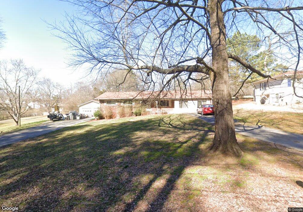
118 Barnesdale Terrace Woodstock, GA 30188
Estimated Value: $498,000 - $751,000
3
Beds
2
Baths
1,696
Sq Ft
$339/Sq Ft
Est. Value
About This Home
This home is located at 118 Barnesdale Terrace, Woodstock, GA 30188 and is currently estimated at $575,641, approximately $339 per square foot. 118 Barnesdale Terrace is a home located in Cherokee County with nearby schools including Woodstock Elementary School, Woodstock Middle School, and Woodstock High School.
Ownership History
Date
Name
Owned For
Owner Type
Purchase Details
Closed on
Feb 4, 1994
Sold by
Mashburn Kennon L
Bought by
Gable William L Samantha
Current Estimated Value
Home Financials for this Owner
Home Financials are based on the most recent Mortgage that was taken out on this home.
Original Mortgage
$31,800
Interest Rate
7.17%
Mortgage Type
Assumption
Create a Home Valuation Report for This Property
The Home Valuation Report is an in-depth analysis detailing your home's value as well as a comparison with similar homes in the area
Home Values in the Area
Average Home Value in this Area
Purchase History
| Date | Buyer | Sale Price | Title Company |
|---|---|---|---|
| Gable William L Samantha | $60,000 | -- | |
| Mashburn Kennon L | $22,000 | -- |
Source: Public Records
Mortgage History
| Date | Status | Borrower | Loan Amount |
|---|---|---|---|
| Closed | Mashburn Kennon L | $31,800 | |
| Closed | Mashburn Kennon L | $52,000 |
Source: Public Records
Tax History Compared to Growth
Tax History
| Year | Tax Paid | Tax Assessment Tax Assessment Total Assessment is a certain percentage of the fair market value that is determined by local assessors to be the total taxable value of land and additions on the property. | Land | Improvement |
|---|---|---|---|---|
| 2024 | $3,250 | $155,172 | $68,800 | $86,372 |
| 2023 | $559 | $116,932 | $27,280 | $89,652 |
| 2022 | $2,326 | $100,092 | $27,280 | $72,812 |
| 2021 | $1,867 | $84,572 | $27,280 | $57,292 |
| 2020 | $2,302 | $82,372 | $27,280 | $55,092 |
| 2019 | $1,546 | $67,080 | $23,080 | $44,000 |
| 2018 | $1,368 | $57,680 | $18,480 | $39,200 |
| 2017 | $1,288 | $132,800 | $15,840 | $37,280 |
| 2016 | $1,195 | $122,600 | $15,840 | $33,200 |
| 2015 | $1,038 | $106,500 | $8,400 | $34,200 |
| 2014 | $818 | $85,100 | $8,400 | $25,640 |
Source: Public Records
Map
Nearby Homes
- 110 Barnesdale Terrace
- 119 Dupree Rd
- 108 Barnesdale Terrace
- 308 Chardonnay Way
- 228 Dawson Dr
- 258 Dawson Dr
- 257 Dawson Dr
- 417 Chandler Ln
- 219 Dawson Dr
- 202 Dawson Dr
- 200 Dawson Dr
- The Barrington Plan at South on Main
- 583 S Club Dr
- 1000 Fendley St
- 170 Fowler St Unit 100
- 170 Fowler St Unit 200
- 1100 Thomas St
- 116 Barnesdale Terrace
- 114 Barnesdale Terrace
- 112 Barnesdale Terrace
- 111 Dupree Rd
- 111 Dupree Rd
- 125 Barnesdale Terrace
- 125 Barnesdale Terrace
- 117 Dupree Rd
- 115 Barnesdale Terrace
- 0 Lilli Ln
- 135 Barnesdale Terrace
- 115 Dupree Rd
- 111 Lilli Ln
- 109 Lilli Ln
- 107 Lilli Ln
- 105 Lilli Ln
- 123 Dupree Rd
- 103 Lilli Ln
- 103 Lilli Ln Unit 2
- 411 Burgundy Way