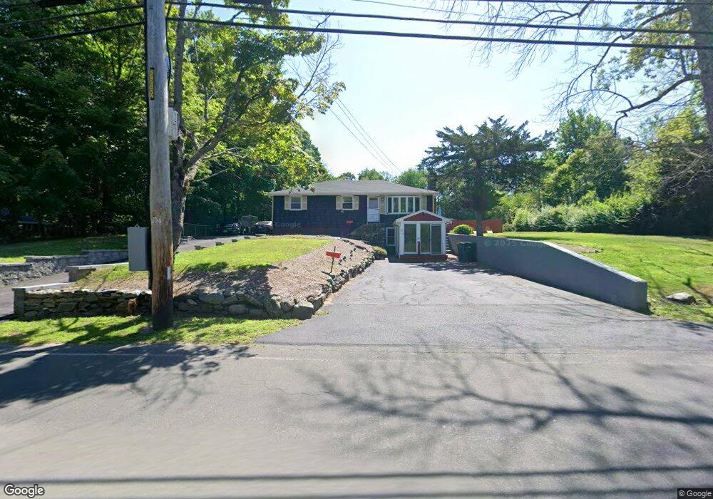
118 Barrows St Norton, MA 02766
Estimated Value: $493,241 - $577,000
3
Beds
3
Baths
1,236
Sq Ft
$437/Sq Ft
Est. Value
About This Home
This home is located at 118 Barrows St, Norton, MA 02766 and is currently estimated at $540,060, approximately $436 per square foot. 118 Barrows St is a home located in Bristol County with nearby schools including J.C. Solmonese Elementary School, Henri A. Yelle Elementary School, and Norton Middle School.
Ownership History
Date
Name
Owned For
Owner Type
Purchase Details
Closed on
Apr 20, 1995
Sold by
Czerwonka Rhonda J and Czerwonka Michael O
Bought by
Parham Jeffrey W and Bergland-Brown Phyllis
Current Estimated Value
Home Financials for this Owner
Home Financials are based on the most recent Mortgage that was taken out on this home.
Original Mortgage
$126,350
Interest Rate
8.55%
Mortgage Type
Purchase Money Mortgage
Create a Home Valuation Report for This Property
The Home Valuation Report is an in-depth analysis detailing your home's value as well as a comparison with similar homes in the area
Home Values in the Area
Average Home Value in this Area
Purchase History
| Date | Buyer | Sale Price | Title Company |
|---|---|---|---|
| Parham Jeffrey W | $133,000 | -- |
Source: Public Records
Mortgage History
| Date | Status | Borrower | Loan Amount |
|---|---|---|---|
| Open | Parham Jeffrey W | $148,000 | |
| Closed | Parham Jeffrey W | $136,000 | |
| Closed | Parham Jeffrey W | $126,350 |
Source: Public Records
Tax History Compared to Growth
Tax History
| Year | Tax Paid | Tax Assessment Tax Assessment Total Assessment is a certain percentage of the fair market value that is determined by local assessors to be the total taxable value of land and additions on the property. | Land | Improvement |
|---|---|---|---|---|
| 2025 | $55 | $423,100 | $183,800 | $239,300 |
| 2024 | $5,219 | $403,000 | $175,000 | $228,000 |
| 2023 | $4,941 | $380,400 | $165,100 | $215,300 |
| 2022 | $4,796 | $336,300 | $150,100 | $186,200 |
| 2021 | $0 | $298,300 | $142,900 | $155,400 |
| 2020 | $4,289 | $289,800 | $138,800 | $151,000 |
| 2019 | $4,120 | $276,500 | $133,500 | $143,000 |
| 2018 | $0 | $259,800 | $133,500 | $126,300 |
| 2017 | $3,862 | $251,300 | $133,500 | $117,800 |
| 2016 | $3,657 | $234,300 | $133,500 | $100,800 |
| 2015 | $3,529 | $229,300 | $130,900 | $98,400 |
| 2014 | $3,381 | $220,000 | $124,600 | $95,400 |
Source: Public Records
Map
Nearby Homes
- 178 S Worcester St
- 170 S Worcester St Unit 3
- 75 Barrows St
- 225 S Worcester St Unit 1
- 225 S Worcester St Unit 2
- 145 S Worcester St
- 38 Danielle St
- 48 Dean St
- 108 S Worcester St
- 127 John Scott Blvd
- 125 John Scott Blvd
- 182 John Scott Blvd
- 4 Colonial Dr Unit 4
- 16 Park Ln
- 53 Sturdy St
- 55 Sturdy St
- 3 Lloyd Cir Unit 43
- 20 Lloyd Cir Unit 32
- 18 Lloyd Cir Unit 31
- 14 Lloyd Cir Unit 29
- 120 Barrows St
- 116 Barrows St
- 108 Barrows St
- 128 Barrows St
- 128 Barrows St Unit 2
- 128 Barrows St Unit 1
- 132 Barrows St
- 103 Barrows St Unit 1
- 103 Barrows St
- 100R Barrows St
- 100 Barrows St
- 138 Barrows St
- 106 Barrows St
- 2 Barrows Ct
- 96 Barrows St
- 130 Barrows St
- 97 Barrows St
- 140 Barrows St
- 140 Barrows St Unit 1
- 140 Barrows St Unit 2