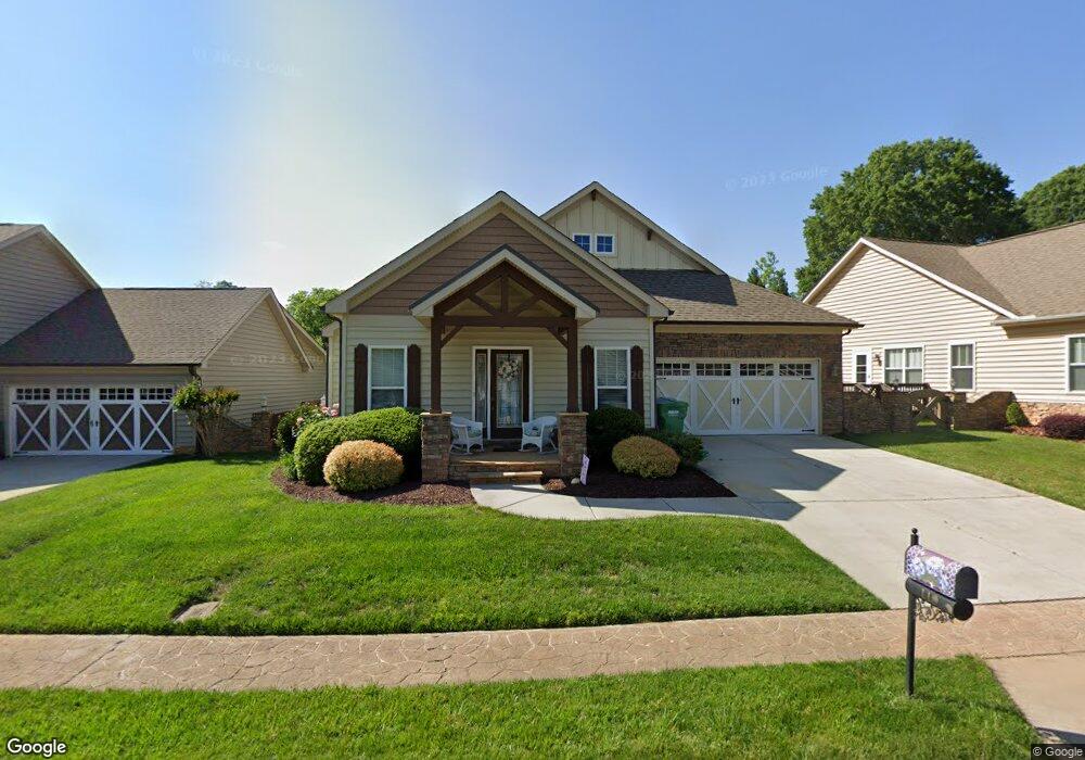
118 Battery Dr Unit 79 Locust, NC 28097
Estimated Value: $312,000 - $370,000
3
Beds
2
Baths
1,404
Sq Ft
$241/Sq Ft
Est. Value
About This Home
This home is located at 118 Battery Dr Unit 79, Locust, NC 28097 and is currently estimated at $338,701, approximately $241 per square foot. 118 Battery Dr Unit 79 is a home located in Stanly County with nearby schools including Locust Elementary School, West Stanly Middle School, and West Stanly High School.
Ownership History
Date
Name
Owned For
Owner Type
Purchase Details
Closed on
Jul 8, 2014
Sold by
Parrott Candace Nave and Parrott Charles R
Bought by
Huneycutt William Gerald
Current Estimated Value
Purchase Details
Closed on
Jan 22, 2010
Sold by
J Mar Construction Inc
Bought by
Parrott Charles R and Parrot Candace Nave
Home Financials for this Owner
Home Financials are based on the most recent Mortgage that was taken out on this home.
Original Mortgage
$178,703
Interest Rate
5.25%
Mortgage Type
FHA
Create a Home Valuation Report for This Property
The Home Valuation Report is an in-depth analysis detailing your home's value as well as a comparison with similar homes in the area
Home Values in the Area
Average Home Value in this Area
Purchase History
| Date | Buyer | Sale Price | Title Company |
|---|---|---|---|
| Huneycutt William Gerald | $120,000 | None Available | |
| Parrott Charles R | $182,000 | None Available |
Source: Public Records
Mortgage History
| Date | Status | Borrower | Loan Amount |
|---|---|---|---|
| Previous Owner | Parrott Charles R | $178,703 |
Source: Public Records
Tax History Compared to Growth
Tax History
| Year | Tax Paid | Tax Assessment Tax Assessment Total Assessment is a certain percentage of the fair market value that is determined by local assessors to be the total taxable value of land and additions on the property. | Land | Improvement |
|---|---|---|---|---|
| 2025 | $2,444 | $265,612 | $60,000 | $205,612 |
| 2024 | $2,255 | $206,886 | $55,000 | $151,886 |
| 2023 | $2,375 | $206,886 | $55,000 | $151,886 |
| 2022 | $2,354 | $206,886 | $55,000 | $151,886 |
| 2021 | $2,334 | $206,886 | $55,000 | $151,886 |
| 2020 | $1,910 | $160,102 | $30,000 | $130,102 |
| 2019 | $1,929 | $160,102 | $30,000 | $130,102 |
| 2018 | $1,809 | $160,102 | $30,000 | $130,102 |
| 2017 | $1,809 | $160,102 | $30,000 | $130,102 |
| 2016 | $1,752 | $155,023 | $28,000 | $127,023 |
| 2015 | $1,866 | $155,023 | $28,000 | $127,023 |
| 2014 | $1,734 | $155,023 | $28,000 | $127,023 |
Source: Public Records
Map
Nearby Homes
- 117 Danita Dr
- 230 Battery Dr
- 226 Hickory St
- 107 Cypress St
- 319 N Central Ave
- 159 Kingston Dr
- 146 Kerri Dawn Ln
- 267 Harrison Ln
- 134 Kerri Dawn Ln
- 417 Kiser Ln
- 203 Vanderbilt Blvd
- 24990 Birdhouse Ln Unit 4
- 716 Saddlebred Ln
- 347 Carolina Hemlock Dr
- 206 Montclair Dr
- 110 Forest Dr
- 211 Drive Inn Rd
- 402 Church St
- 169 Abigail Ln
- 00 S Beverly Dr
- 118 Battery Dr
- 124 Battery Dr
- 124 Battery Dr Unit Lot 80
- 114 Battery Dr
- 297 Maple St
- 128 Battery Dr
- 117 Battery Dr
- 92 Battery Dr
- 106 Battery Dr
- 111 Meeting St
- 121 Battery Dr
- L 105 Broad St Unit 105
- 113 Battery Dr
- 132 Battery Dr
- 115 Meeting St Unit 103
- 127 Battery Dr
- 000 Battery Dr
- 134 Battery Dr
- 109 Battery Dr Unit 9
- 109 Battery Dr