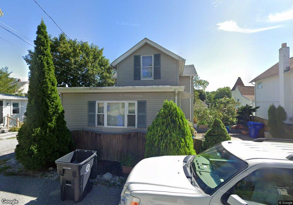
118 Bluff St Riverside, RI 02915
Riverside NeighborhoodEstimated Value: $336,545 - $525,000
2
Beds
1
Bath
920
Sq Ft
$447/Sq Ft
Est. Value
About This Home
This home is located at 118 Bluff St, Riverside, RI 02915 and is currently estimated at $411,136, approximately $446 per square foot. 118 Bluff St is a home located in Providence County with nearby schools including East Providence High School, St Mary Academy-Bay View, and St Luke Elementary School.
Ownership History
Date
Name
Owned For
Owner Type
Purchase Details
Closed on
May 23, 2011
Sold by
Medeiros Olympio M and Medeiros Maria C
Bought by
Atherton Cremilde K and Atherton Robert A
Current Estimated Value
Home Financials for this Owner
Home Financials are based on the most recent Mortgage that was taken out on this home.
Original Mortgage
$125,240
Interest Rate
4.88%
Mortgage Type
Purchase Money Mortgage
Create a Home Valuation Report for This Property
The Home Valuation Report is an in-depth analysis detailing your home's value as well as a comparison with similar homes in the area
Home Values in the Area
Average Home Value in this Area
Purchase History
| Date | Buyer | Sale Price | Title Company |
|---|---|---|---|
| Atherton Cremilde K | $155,000 | -- | |
| Atherton Cremilde K | $155,000 | -- |
Source: Public Records
Mortgage History
| Date | Status | Borrower | Loan Amount |
|---|---|---|---|
| Open | Atherton Cremilde K | $124,967 | |
| Closed | Atherton Cremilde K | $125,240 |
Source: Public Records
Tax History
| Year | Tax Paid | Tax Assessment Tax Assessment Total Assessment is a certain percentage of the fair market value that is determined by local assessors to be the total taxable value of land and additions on the property. | Land | Improvement |
|---|---|---|---|---|
| 2025 | $3,975 | $304,100 | $73,100 | $231,000 |
| 2024 | $3,644 | $237,700 | $60,900 | $176,800 |
| 2023 | $3,508 | $237,700 | $60,900 | $176,800 |
| 2022 | $3,386 | $154,900 | $45,100 | $109,800 |
| 2021 | $3,330 | $154,900 | $45,000 | $109,900 |
| 2020 | $3,189 | $154,900 | $45,000 | $109,900 |
| 2019 | $3,101 | $154,900 | $45,000 | $109,900 |
| 2018 | $2,929 | $128,000 | $45,100 | $82,900 |
| 2017 | $2,863 | $128,000 | $45,100 | $82,900 |
| 2016 | $2,849 | $128,000 | $45,100 | $82,900 |
| 2015 | $2,919 | $127,200 | $48,300 | $78,900 |
| 2014 | $2,919 | $127,200 | $48,300 | $78,900 |
Source: Public Records
Map
Nearby Homes
- 129 Shore Rd
- 72 Stowe Ave
- 33 Pine St Unit 35
- 28 Jefferson Ave
- 41 White Ave
- 103 Burnside Ave
- 25 Arnold St
- 151 Willett Ave Unit 2
- 33 Bullocks Point Ave Unit 5C
- 43 Bullocks Point Ave Unit 4A
- 25 Bullocks Point Ave Unit 5C
- 6 Fuller Ave
- 10 Booth Ave
- 0 Carousel Dr
- 14 Winthrop St
- 15 Claire St
- 25 Winslow St
- 14 Benedict St
- 916 Bullocks Pt Ave
- 9 Mystic Ave
Your Personal Tour Guide
Ask me questions while you tour the home.