118 Bone Dr Statesville, NC 28625
Estimated Value: $413,000 - $568,647
3
Beds
2
Baths
2,044
Sq Ft
$229/Sq Ft
Est. Value
About This Home
This home is located at 118 Bone Dr, Statesville, NC 28625 and is currently estimated at $468,549, approximately $229 per square foot. 118 Bone Dr is a home located in Iredell County with nearby schools including Central Elementary School, North Iredell Middle School, and North Iredell High School.
Ownership History
Date
Name
Owned For
Owner Type
Purchase Details
Closed on
Aug 12, 2013
Sold by
Cole Nancy Louise Hill
Bought by
Goforth Chris and Goforth Jennifer
Current Estimated Value
Purchase Details
Closed on
Jun 15, 2005
Sold by
Cole John Shafter and Cole Nancy Louise Hill
Bought by
Cole Nancy Louise Hill
Purchase Details
Closed on
Jun 1, 1982
Purchase Details
Closed on
Jun 1, 1980
Bought by
Hill Glenn and Hill Lillie
Purchase Details
Closed on
Jun 1, 1966
Create a Home Valuation Report for This Property
The Home Valuation Report is an in-depth analysis detailing your home's value as well as a comparison with similar homes in the area
Home Values in the Area
Average Home Value in this Area
Purchase History
| Date | Buyer | Sale Price | Title Company |
|---|---|---|---|
| Goforth Chris | -- | None Available | |
| Cole Nancy Louise Hill | -- | -- | |
| -- | -- | -- | |
| Hill Glenn | -- | -- | |
| -- | -- | -- |
Source: Public Records
Tax History Compared to Growth
Tax History
| Year | Tax Paid | Tax Assessment Tax Assessment Total Assessment is a certain percentage of the fair market value that is determined by local assessors to be the total taxable value of land and additions on the property. | Land | Improvement |
|---|---|---|---|---|
| 2024 | $2,222 | $346,080 | $0 | $0 |
| 2023 | $2,222 | $346,080 | $0 | $0 |
| 2022 | $1,440 | $210,370 | $0 | $0 |
| 2021 | $1,432 | $210,370 | $0 | $0 |
| 2020 | $1,432 | $210,370 | $0 | $0 |
| 2019 | $1,411 | $210,370 | $0 | $0 |
| 2018 | $1,353 | $209,110 | $0 | $0 |
| 2017 | $1,353 | $301,220 | $142,430 | $158,790 |
| 2016 | $1,353 | $301,220 | $142,430 | $158,790 |
| 2015 | $1,353 | $301,220 | $142,430 | $158,790 |
| 2014 | $556 | $201,340 | $142,430 | $58,910 |
Source: Public Records
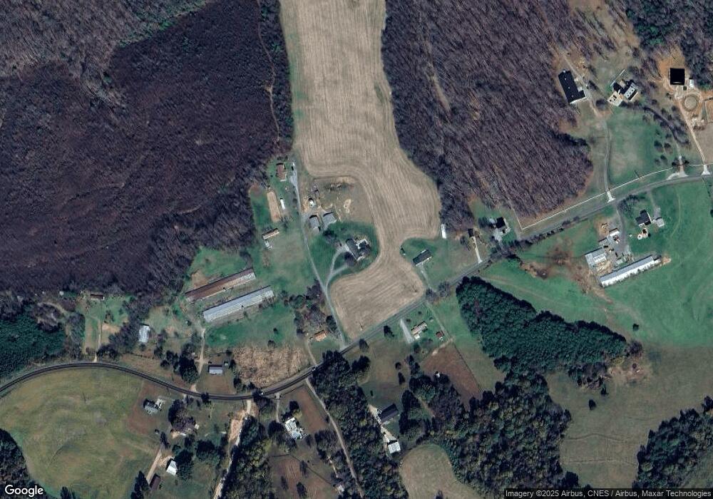
Map
Nearby Homes
- 3359 Wilkesboro Hwy
- 212 Hill Farm Rd
- 112 Triton Dr
- 000 Cove Gap Rd
- 00 Hilltop Dr Unit 14
- 00 Hilltop Dr
- 00 Hilltop Dr Unit 13
- 3050 Wilkesboro Hwy
- 154 Windy Hill Rd
- Lot 22 Vance Farm Dr
- 203 Grassy Meadow Ln
- 164 Vance Farm Dr
- 4268 Wilkesboro Hwy
- 111 Mallory Ln
- 179 Foy Ln
- 107 Porter Rd
- 187 Newland Ln
- 133 Bluegill Ln
- 648 Dobson Farm Rd
- 154 Emma Ln
- 298 Pisgah Church Rd
- 139 Bone Dr
- 254 Pisgah Church Rd
- 115 Honeypath Ln
- 324 Pisgah Church Rd
- 313 Pisgah Church Rd
- 334 Pisgah Church Rd
- 107 Clio Ln
- 108 Clio Ln
- 227 Pisgah Church Rd
- 218 Pisgah Church Rd
- 0 Honeypath Ln
- 1 Honeypath Ln
- 301 Pisgah Church Rd
- 0 Lucy Ln
- 203 Pisgah Church Rd
- 203 Pisgah Church Rd Unit 1
- 143 Clio Ln
- 37 Lucy Ln
- 120 Treebark Rd