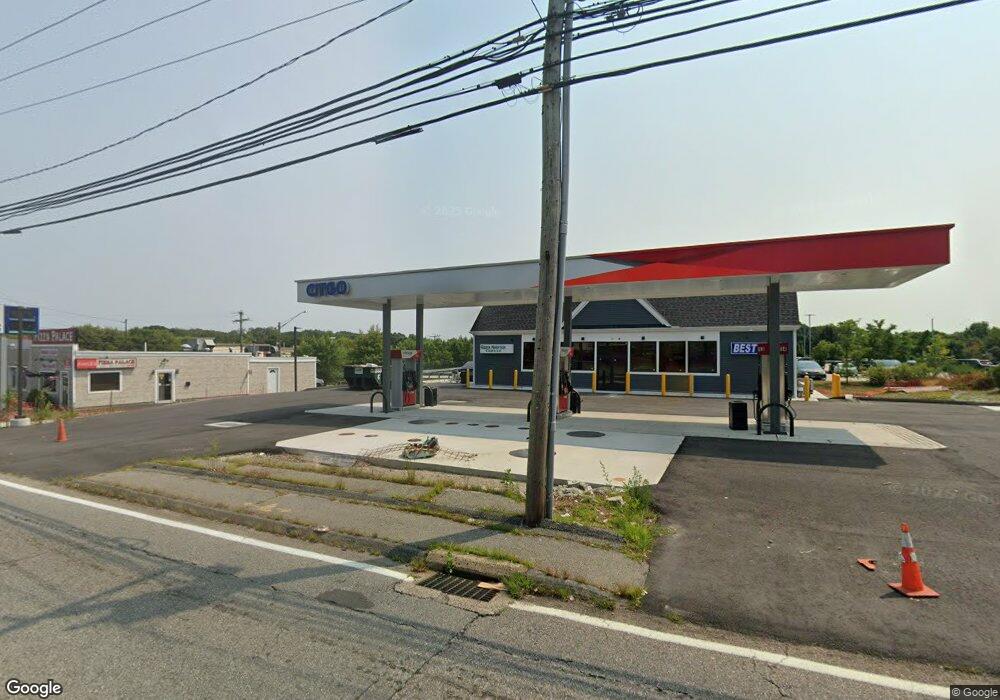
118 Boston Post Rd Waterford, CT 06385
Estimated Value: $354,370
4
Beds
2
Baths
1,560
Sq Ft
$227/Sq Ft
Est. Value
About This Home
This home is located at 118 Boston Post Rd, Waterford, CT 06385 and is currently priced at $354,370, approximately $227 per square foot. 118 Boston Post Rd is a home located in New London County with nearby schools including Clark Lane Middle School, Waterford High School, and New London High School Multi-Magnet Campus.
Ownership History
Date
Name
Owned For
Owner Type
Purchase Details
Closed on
Jun 29, 2021
Sold by
Pmg New Jersey 2 Llc
Bought by
Mehak Realty Llc
Current Estimated Value
Purchase Details
Closed on
Jul 3, 2018
Sold by
Marathon Petroleum Co
Bought by
Pmg New Jersey 2 Llc
Create a Home Valuation Report for This Property
The Home Valuation Report is an in-depth analysis detailing your home's value as well as a comparison with similar homes in the area
Home Values in the Area
Average Home Value in this Area
Purchase History
| Date | Buyer | Sale Price | Title Company |
|---|---|---|---|
| Mehak Realty Llc | $260,000 | None Available | |
| Mehak Realty Llc | $260,000 | None Available | |
| Mehak Realty Llc | $260,000 | None Available | |
| Pmg New Jersey 2 Llc | -- | -- | |
| Pmg New Jersey 2 Llc | -- | -- |
Source: Public Records
Mortgage History
| Date | Status | Borrower | Loan Amount |
|---|---|---|---|
| Closed | Pmg New Jersey 2 Llc | $0 |
Source: Public Records
Tax History Compared to Growth
Tax History
| Year | Tax Paid | Tax Assessment Tax Assessment Total Assessment is a certain percentage of the fair market value that is determined by local assessors to be the total taxable value of land and additions on the property. | Land | Improvement |
|---|---|---|---|---|
| 2025 | $10,356 | $443,330 | $294,130 | $149,200 |
| 2024 | $9,470 | $424,670 | $294,130 | $130,540 |
| 2023 | $9,003 | $424,670 | $294,130 | $130,540 |
| 2022 | $9,204 | $333,960 | $245,110 | $88,850 |
| 2021 | $9,231 | $333,960 | $245,110 | $88,850 |
| 2020 | $9,307 | $333,960 | $245,110 | $88,850 |
| 2019 | $9,344 | $333,960 | $245,110 | $88,850 |
| 2018 | $9,157 | $333,960 | $245,110 | $88,850 |
| 2017 | $8,940 | $330,750 | $245,110 | $85,640 |
| 2016 | $8,857 | $330,750 | $245,110 | $85,640 |
| 2015 | $8,543 | $330,750 | $245,110 | $85,640 |
| 2014 | $8,203 | $330,750 | $245,110 | $85,640 |
Source: Public Records
Map
Nearby Homes
- 24 Pine St
- 12 Pine St
- 68 Clark Ln
- 35 Pine St
- 54 Rope Ferry Rd Unit C55
- 54 Rope Ferry Rd Unit D72
- 54 Rope Ferry Rd Unit C45
- 213 Boston Post Rd
- 2 Faye St
- 34 Ivy Hill Rd
- 7 Ivy Hill Rd
- 26 Ivy Hill Rd
- 152 Blydenburg Ave
- 77 Colman St
- 835 Bank St
- 26 Jefferson Ave
- 16 Bellevue Place
- 5 Windy Ridge Place Unit 5
- 18 W Pleasant St
- 142 Montauk Ave