118 Brianna Ln Robertsville, MO 63072
Estimated Value: $96,000 - $283,000
3
Beds
2
Baths
1,800
Sq Ft
$120/Sq Ft
Est. Value
About This Home
This home is located at 118 Brianna Ln, Robertsville, MO 63072 and is currently estimated at $215,667, approximately $119 per square foot. 118 Brianna Ln is a home located in Franklin County with nearby schools including Pacific High School.
Ownership History
Date
Name
Owned For
Owner Type
Purchase Details
Closed on
Nov 28, 2012
Sold by
Bank Of Washington
Bought by
Willtrout Owen and Willtrout Barbara
Current Estimated Value
Home Financials for this Owner
Home Financials are based on the most recent Mortgage that was taken out on this home.
Original Mortgage
$125,000
Outstanding Balance
$86,109
Interest Rate
3.4%
Mortgage Type
New Conventional
Estimated Equity
$129,558
Purchase Details
Closed on
Aug 18, 2005
Sold by
Spangler William R and Spangler Scheryl Rene
Bought by
Oak Construction Inc
Home Financials for this Owner
Home Financials are based on the most recent Mortgage that was taken out on this home.
Original Mortgage
$183,000
Interest Rate
5.61%
Mortgage Type
Construction
Create a Home Valuation Report for This Property
The Home Valuation Report is an in-depth analysis detailing your home's value as well as a comparison with similar homes in the area
Home Values in the Area
Average Home Value in this Area
Purchase History
| Date | Buyer | Sale Price | Title Company |
|---|---|---|---|
| Willtrout Owen | $122,500 | None Available | |
| Oak Construction Inc | -- | None Available |
Source: Public Records
Mortgage History
| Date | Status | Borrower | Loan Amount |
|---|---|---|---|
| Open | Willtrout Owen | $125,000 | |
| Previous Owner | Oak Construction Inc | $183,000 |
Source: Public Records
Tax History Compared to Growth
Tax History
| Year | Tax Paid | Tax Assessment Tax Assessment Total Assessment is a certain percentage of the fair market value that is determined by local assessors to be the total taxable value of land and additions on the property. | Land | Improvement |
|---|---|---|---|---|
| 2025 | $85 | $1,186 | $0 | $0 |
| 2024 | $85 | $1,186 | $0 | $0 |
| 2023 | $85 | $1,186 | $0 | $0 |
| 2022 | $77 | $1,186 | $0 | $0 |
| 2021 | $77 | $1,186 | $0 | $0 |
| 2020 | $77 | $1,186 | $0 | $0 |
| 2019 | $77 | $1,186 | $0 | $0 |
| 2018 | $78 | $1,186 | $0 | $0 |
| 2017 | $78 | $1,186 | $0 | $0 |
| 2016 | $153 | $2,304 | $0 | $0 |
| 2015 | $148 | $2,304 | $0 | $0 |
| 2014 | $138 | $2,176 | $0 | $0 |
Source: Public Records
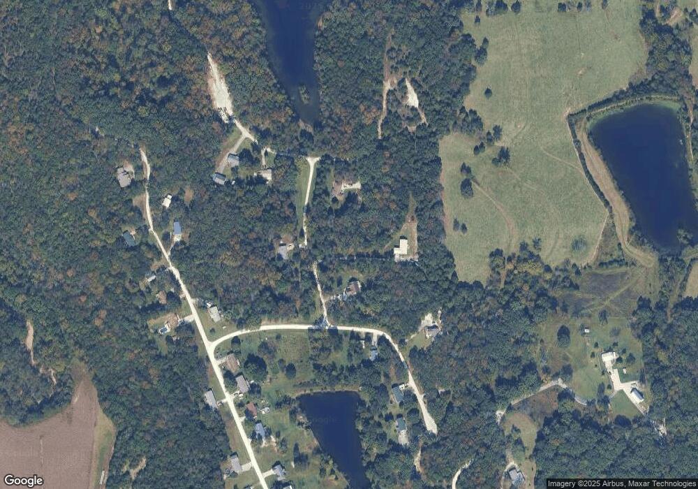
Map
Nearby Homes
- 0 Woodland Valley Dr Unit MAR25002747
- 0 Watts Ridge Dr
- 563 Calvey Heights Ct
- 4143 Highway N
- 175 Enchanted Oak Ct
- 5199 Highway N
- 0 Stone Ridge Rd Unit MAR25025168
- 1320 & 1330 Lake Shore Dr
- 4114 Evergreen St
- 4123 Evergreen St
- 4134 Evergreen St
- Lots 14&15 Evergreen St
- 4420 & 4424 S Shore Dr
- 4412 & 4416 S Shore Dr
- 4268 & 4272 S Shore Dr
- 4284 & 4288 S Shore Dr
- 4276 & 4280 S Shore Dr
- 4150 S Shore Dr
- 4186 S Shore Dr
- 5563 E Anding Dr
- 130 Brianna Ln
- 397 Lakeside Dr
- 117 Brianna Ln
- 559 Smith Ct
- 377 Lakeside Dr
- 562 Smith Ct
- 557 Smith Ct
- 371 Lakeside Dr
- 856 Woodland Hills Dr
- 548 Smith Ct
- 870 Woodland Hills Dr
- 842 Woodland Hills Dr
- 842 Woodland Hills Dr
- 878 Woodland Hills Dr
- 543 Smith Ct
- 882 Woodland Hills Dr
- 859 Woodland Hills Dr
- 853 Woodland Hills Dr
- 888 Woodland Hills Dr
- 536 Smith Ct