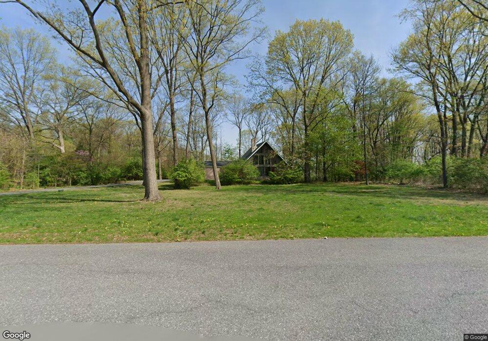
118 Brossman Ct Leesport, PA 19533
Bern NeighborhoodEstimated Value: $362,000 - $391,000
3
Beds
2
Baths
1,604
Sq Ft
$232/Sq Ft
Est. Value
About This Home
This home is located at 118 Brossman Ct, Leesport, PA 19533 and is currently estimated at $372,579, approximately $232 per square foot. 118 Brossman Ct is a home located in Berks County with nearby schools including Schuylkill Valley Elementary School, Schuylkill Valley Middle School, and Schuylkill Valley High School.
Ownership History
Date
Name
Owned For
Owner Type
Purchase Details
Closed on
Mar 28, 2003
Sold by
Beissel Jeffrey L and Beissel Rose M
Bought by
Lysko Michael D
Current Estimated Value
Home Financials for this Owner
Home Financials are based on the most recent Mortgage that was taken out on this home.
Original Mortgage
$144,000
Interest Rate
5.84%
Mortgage Type
Purchase Money Mortgage
Create a Home Valuation Report for This Property
The Home Valuation Report is an in-depth analysis detailing your home's value as well as a comparison with similar homes in the area
Home Values in the Area
Average Home Value in this Area
Purchase History
| Date | Buyer | Sale Price | Title Company |
|---|---|---|---|
| Lysko Michael D | $180,000 | -- |
Source: Public Records
Mortgage History
| Date | Status | Borrower | Loan Amount |
|---|---|---|---|
| Previous Owner | Lysko Michael D | $144,000 |
Source: Public Records
Tax History Compared to Growth
Tax History
| Year | Tax Paid | Tax Assessment Tax Assessment Total Assessment is a certain percentage of the fair market value that is determined by local assessors to be the total taxable value of land and additions on the property. | Land | Improvement |
|---|---|---|---|---|
| 2025 | $2,174 | $125,400 | $34,300 | $91,100 |
| 2024 | $5,107 | $125,400 | $34,300 | $91,100 |
| 2023 | $4,974 | $125,400 | $34,300 | $91,100 |
| 2022 | $4,974 | $125,400 | $34,300 | $91,100 |
| 2021 | $4,974 | $125,400 | $34,300 | $91,100 |
| 2020 | $4,974 | $125,400 | $34,300 | $91,100 |
| 2019 | $4,848 | $125,400 | $34,300 | $91,100 |
| 2018 | $4,848 | $125,400 | $34,300 | $91,100 |
| 2017 | $4,813 | $125,400 | $34,300 | $91,100 |
| 2016 | $1,358 | $125,400 | $34,300 | $91,100 |
| 2015 | $1,358 | $125,400 | $34,300 | $91,100 |
| 2014 | $1,358 | $125,400 | $34,300 | $91,100 |
Source: Public Records
Map
Nearby Homes
- 1001 Mill Rd
- 739 Boar Rd
- 1645 Fairview Dr
- 144 Robby Dr
- 1302 Garfield Rd
- 679 Grange Rd
- 1064 Mahlon Dr
- 0 Mahlon Dr
- 482 Data Rd
- 0 Woodland Dr
- 1172 Plum Rd
- 0 Pine Rd Unit PABK2065506
- 0 Pine Rd Unit PABK2065994
- 437 White Oak Ln
- 463 White Oak Ln
- 1030 Chestnut St
- 731 W Main St
- 86 Tower Rd
- 678 Schuylkill Hill Rd
- 653 Scenic Dr
- 114 Brossman Ct
- 130 Brossman Ct
- 121 Brossman Ct
- 117 Brossman Ct
- 106 Brossman Ct
- 305 Park Rd
- 109 Brossman Ct
- 131 Brossman Ct
- 337 Eagleview Dr
- 329 Eagleview Dr
- 328 Park Rd
- 1082 Park Rd
- 341 Eagleview Dr
- 311 Eagleview Dr
- 115 Hawkview Ct
- 359 Eagleview Dr
- 200 Lower Loop Rd
- 111 Hawkview Ct
- 309 Eagleview Dr
- 87 Upper Loop Rd