118 Butternut Dr Kings Mountain, NC 28086
Estimated Value: $359,581 - $441,000
--
Bed
--
Bath
1,758
Sq Ft
$232/Sq Ft
Est. Value
About This Home
This home is located at 118 Butternut Dr, Kings Mountain, NC 28086 and is currently estimated at $408,395, approximately $232 per square foot. 118 Butternut Dr is a home located in Cleveland County with nearby schools including North Elementary School, Kings Mountain Intermediate School, and Kings Mountain Middle.
Ownership History
Date
Name
Owned For
Owner Type
Purchase Details
Closed on
Oct 11, 2007
Sold by
Hord Dwayne and Hord Jennifer
Bought by
Strong Rodney M
Current Estimated Value
Home Financials for this Owner
Home Financials are based on the most recent Mortgage that was taken out on this home.
Original Mortgage
$239,000
Outstanding Balance
$149,589
Interest Rate
6.26%
Mortgage Type
New Conventional
Estimated Equity
$258,806
Purchase Details
Closed on
Feb 10, 2006
Sold by
Narybouth Puton and Narybouth Sounida
Bought by
Hord Dwayne
Create a Home Valuation Report for This Property
The Home Valuation Report is an in-depth analysis detailing your home's value as well as a comparison with similar homes in the area
Home Values in the Area
Average Home Value in this Area
Purchase History
| Date | Buyer | Sale Price | Title Company |
|---|---|---|---|
| Strong Rodney M | $239,000 | None Available | |
| Hord Dwayne | $17,000 | None Available |
Source: Public Records
Mortgage History
| Date | Status | Borrower | Loan Amount |
|---|---|---|---|
| Open | Strong Rodney M | $239,000 |
Source: Public Records
Tax History Compared to Growth
Tax History
| Year | Tax Paid | Tax Assessment Tax Assessment Total Assessment is a certain percentage of the fair market value that is determined by local assessors to be the total taxable value of land and additions on the property. | Land | Improvement |
|---|---|---|---|---|
| 2025 | $3,769 | $367,678 | $32,012 | $335,666 |
| 2024 | $2,721 | $230,921 | $25,610 | $205,311 |
| 2023 | $2,707 | $230,921 | $25,610 | $205,311 |
| 2022 | $2,593 | $230,921 | $25,610 | $205,311 |
| 2021 | $2,606 | $230,921 | $25,610 | $205,311 |
| 2020 | $2,207 | $190,009 | $17,500 | $172,509 |
| 2019 | $2,207 | $190,009 | $17,500 | $172,509 |
| 2018 | $2,206 | $190,009 | $17,500 | $172,509 |
| 2017 | $2,195 | $190,009 | $17,500 | $172,509 |
| 2016 | $2,204 | $190,009 | $17,500 | $172,509 |
| 2015 | $2,153 | $190,611 | $15,650 | $174,961 |
| 2014 | $2,153 | $190,611 | $15,650 | $174,961 |
Source: Public Records
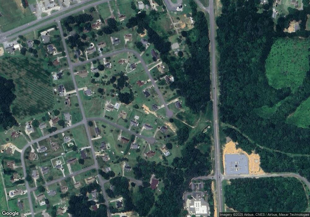
Map
Nearby Homes
- Plan 2338 at Cottages at Clovis Point
- Plan 2723 at Cottages at Clovis Point
- Plan 2539 at Cottages at Clovis Point
- Plan 1844 at Cottages at Clovis Point
- Plan 1445 at Cottages at Clovis Point
- Plan 1582 at Cottages at Clovis Point
- 125 Country Creek Dr
- 106 Cameron Dr
- 129 Country Creek Dr
- 110 Kimberly Ln
- 202 Cameron Dr
- 1610 Shelby Rd
- 1500 Shelby Rd
- 262 Frank Burns Way
- 223 Frank Burns Way
- Belhaven Plan at Brinkley Ridge
- Freeport Plan at Brinkley Ridge
- Robie Plan at Brinkley Ridge
- Penwell Plan at Brinkley Ridge
- Aria Plan at Brinkley Ridge
- 116 Butternut Dr
- 109 Jeremy Dr
- 107 Jeremy Dr
- 121 Butternut Dr
- 114 Butternut Dr
- 111 Jeremy Dr
- 105 Jeremy Dr
- 117 Butternut Dr
- 115 Butternut Dr
- 103 Jeremy Dr
- 112 Jeremy Dr
- 108 Jeremy Dr
- 106 Jeremy Dr
- 110 Butternut Dr
- 110 Jeremy Dr
- 113 Butternut Dr
- 108 Butternut Dr
- 113 Country Creek Dr
- 106 Butternut Dr
- 115 Country Creek Dr