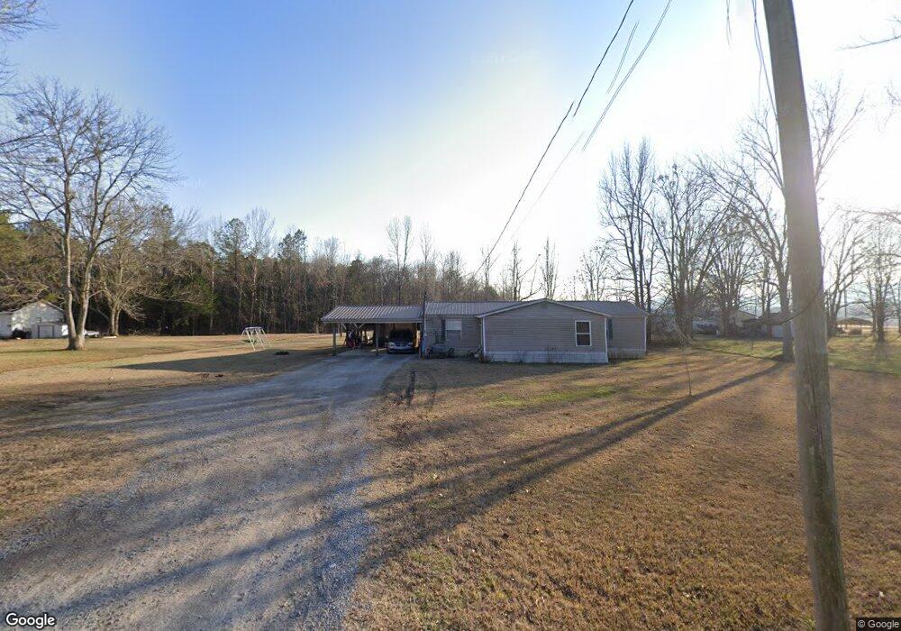
118 Christian Rd Owens Cross Roads, AL 35763
Estimated Value: $98,574 - $159,000
--
Bed
--
Bath
1
Sq Ft
$125,858/Sq Ft
Est. Value
About This Home
This home is located at 118 Christian Rd, Owens Cross Roads, AL 35763 and is currently estimated at $125,858, approximately $125,858 per square foot. 118 Christian Rd is a home with nearby schools including Owens Cross Roads Elementary School and New Hope High School.
Ownership History
Date
Name
Owned For
Owner Type
Purchase Details
Closed on
Jun 28, 2019
Sold by
Doran John D and Doran Carrie E
Bought by
Doran Carrie E
Current Estimated Value
Purchase Details
Closed on
Sep 1, 2016
Sold by
Embry Leavena Brown and Marsh Brenda E
Bought by
Doran John D and Doran Carrie E
Purchase Details
Closed on
Apr 14, 2014
Sold by
Embry Leavena Brown and Marsh Brenda E
Bought by
Furlough Charles E
Purchase Details
Closed on
Mar 22, 2007
Sold by
Embry Leavena Brown
Bought by
Embry Leavena Brown and Marsh Brenda E
Create a Home Valuation Report for This Property
The Home Valuation Report is an in-depth analysis detailing your home's value as well as a comparison with similar homes in the area
Home Values in the Area
Average Home Value in this Area
Purchase History
| Date | Buyer | Sale Price | Title Company |
|---|---|---|---|
| Doran Carrie E | -- | None Available | |
| Doran John D | $38,500 | None Available | |
| Furlough Charles E | $22,000 | None Available | |
| Embry Leavena Brown | -- | -- |
Source: Public Records
Tax History Compared to Growth
Tax History
| Year | Tax Paid | Tax Assessment Tax Assessment Total Assessment is a certain percentage of the fair market value that is determined by local assessors to be the total taxable value of land and additions on the property. | Land | Improvement |
|---|---|---|---|---|
| 2024 | $104 | $2,560 | $1,440 | $1,120 |
| 2023 | $104 | $2,540 | $1,440 | $1,100 |
| 2022 | $322 | $7,960 | $1,440 | $6,520 |
| 2021 | $319 | $7,880 | $1,440 | $6,440 |
| 2020 | $325 | $3,910 | $720 | $3,190 |
| 2019 | $316 | $3,900 | $720 | $3,180 |
| 2018 | $308 | $7,600 | $0 | $0 |
| 2017 | $98 | $3,540 | $0 | $0 |
| 2016 | -- | $3,540 | $0 | $0 |
| 2015 | $98 | $3,540 | $0 | $0 |
| 2014 | $98 | $3,540 | $0 | $0 |
Source: Public Records
Map
Nearby Homes
- The Daphne Plan at Ramsay Cove
- The Butler Plan at Ramsay Cove
- The Chelsea A Plan at Ramsay Cove
- The Franklin Plan at Ramsay Cove
- The Everett Plan at Ramsay Cove
- The Shelby A Plan at Ramsay Cove
- Roanoke Plan at Ramsay Cove
- Dupont Plan at Ramsay Cove
- Gardner Plan at Ramsay Cove
- Essex Plan at Ramsay Cove
- Woodruff Plan at Ramsay Cove
- 108 Vulcan St
- 110 Vulcan St
- 106 Vulcan St
- 114 Vulcan St
- 104 Vulcan St
- 102 Vulcan St
- 116 Vulcan St
- 124 Vulcan St
- 126 Vulcan St
- 132 Christian Rd
- 2539 Old Highway 431
- 2479 Old Highway 431
- 2561 Old Highway 431
- 2476 Old Highway 431
- 169 Christian Rd
- 8368 Highway 431 S
- 8406 Highway 431 S
- 2455 Old Highway 431
- 2581 Old Highway 431
- 3.31 acres Old Highway 431
- 8405 Highway 431 S
- 2611 Old Highway 431
- 8290 Highway 431 S
- 8323 Highway 431 S
- 8323 Hwy 431 S
- 2413 Old Highway 431
- 8274 Highway 431 S