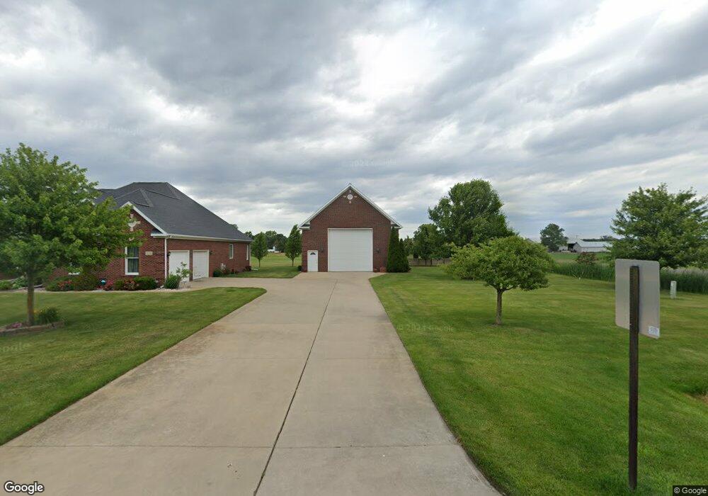
118 Clover Brook Dr Owosso, MI 48867
Estimated Value: $385,000 - $456,000
--
Bed
--
Bath
--
Sq Ft
0.63
Acres
About This Home
This home is located at 118 Clover Brook Dr, Owosso, MI 48867 and is currently estimated at $419,395. 118 Clover Brook Dr is a home located in Shiawassee County with nearby schools including Owosso High School, Owosso Sda School, and St. Paul School.
Ownership History
Date
Name
Owned For
Owner Type
Purchase Details
Closed on
Mar 27, 2019
Sold by
Batchelor William A and Batchelor Kelly B
Bought by
Sovis Edward J
Current Estimated Value
Home Financials for this Owner
Home Financials are based on the most recent Mortgage that was taken out on this home.
Original Mortgage
$244,000
Outstanding Balance
$214,519
Interest Rate
4.3%
Mortgage Type
Construction
Estimated Equity
$204,876
Create a Home Valuation Report for This Property
The Home Valuation Report is an in-depth analysis detailing your home's value as well as a comparison with similar homes in the area
Home Values in the Area
Average Home Value in this Area
Purchase History
| Date | Buyer | Sale Price | Title Company |
|---|---|---|---|
| Sovis Edward J | $305,000 | Ata Nat L Title Group Llc |
Source: Public Records
Mortgage History
| Date | Status | Borrower | Loan Amount |
|---|---|---|---|
| Open | Sovis Edward J | $244,000 |
Source: Public Records
Tax History Compared to Growth
Tax History
| Year | Tax Paid | Tax Assessment Tax Assessment Total Assessment is a certain percentage of the fair market value that is determined by local assessors to be the total taxable value of land and additions on the property. | Land | Improvement |
|---|---|---|---|---|
| 2025 | $4,878 | $197,300 | $0 | $0 |
| 2024 | $4,975 | $187,400 | $0 | $0 |
| 2023 | $1,834 | $174,900 | $0 | $0 |
| 2022 | $1,746 | $161,600 | $0 | $0 |
| 2021 | $4,404 | $156,800 | $0 | $0 |
| 2020 | $4,204 | $139,600 | $0 | $0 |
| 2019 | $4,073 | $119,500 | $0 | $0 |
| 2018 | $3,660 | $113,700 | $0 | $0 |
| 2017 | $3,027 | $105,800 | $0 | $0 |
| 2016 | -- | $105,800 | $0 | $0 |
| 2015 | -- | $105,200 | $0 | $0 |
| 2014 | $13 | $101,400 | $0 | $0 |
Source: Public Records
Map
Nearby Homes
- 502 Dean Dr
- 2706 N M-52 Hwy
- 700 Curwood Rd
- 2015 Sunset Dr
- 1588 N Chipman Rd
- 809 Stevens Dr
- 1301 Whitehaven Ct
- 1473 Mallard Cir
- 1430 Mallard Cir
- 1217 Hanover St
- 921 Dingwall Dr
- 1004 N Ball St
- 917 N Hickory St
- 930 Pine St
- 1475 N Water St
- 705 Campbell Dr
- 509 Abbott St
- 916 N Shiawassee St
- 1104 Riverside Dr
- 813 Wiltshire Dr
- 118 Cloverbrook Dr
- 138 Clover Brook Dr
- 138 Clover Brook Dr
- 138 Clover Brook Dr
- 2100 Burning Tree Cir
- 117 Clover Brook Dr
- 117 Clover Brook Dr
- 2112 Burning Tree Cir
- 2112 Burning
- 123 Clover Brook Dr
- 2124 Burning Tree Cir
- 134 Clover Brook Dr
- 135 Clover Brook Dr
- 108 W Wilkinson Rd
- 112 W Wilkinson Rd
- 2121 Burning Tree Cir
- 2175 Burning Tree Cir
- 122 W Wilkinson Rd
- 2148 Burning Tree Cir
- 141 Clover Brook Dr