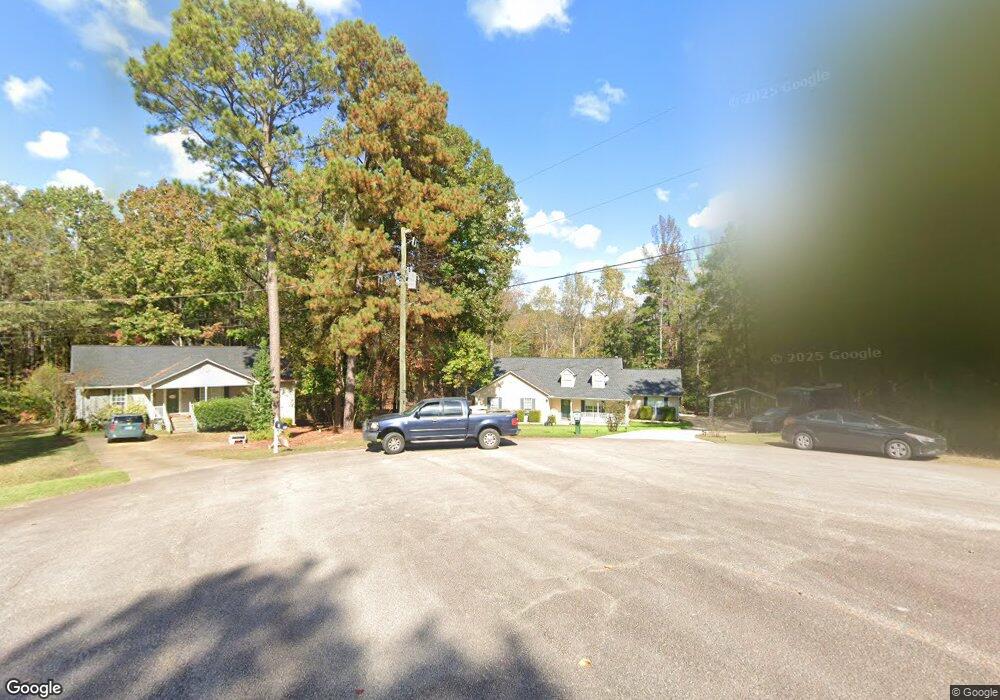
118 Colorado Ct Lagrange, GA 30240
Estimated Value: $265,537 - $306,000
4
Beds
2
Baths
2,038
Sq Ft
$137/Sq Ft
Est. Value
About This Home
This home is located at 118 Colorado Ct, Lagrange, GA 30240 and is currently estimated at $279,134, approximately $136 per square foot. 118 Colorado Ct is a home located in Troup County with nearby schools including Long Cane Elementary School, Berta Weathersbee Elementary School, and Whitesville Road Elementary School.
Ownership History
Date
Name
Owned For
Owner Type
Purchase Details
Closed on
May 25, 1998
Sold by
Irvin Maddox
Bought by
Maddox Lisa C
Current Estimated Value
Purchase Details
Closed on
May 15, 1998
Sold by
Maddox Irvin and Maddox Lisa C
Bought by
Irvin Maddox
Purchase Details
Closed on
Sep 26, 1997
Sold by
Clarence Fincher
Bought by
Maddox Irvin and Maddox Lisa C
Purchase Details
Closed on
Apr 1, 1987
Bought by
Clarence Fincher
Create a Home Valuation Report for This Property
The Home Valuation Report is an in-depth analysis detailing your home's value as well as a comparison with similar homes in the area
Home Values in the Area
Average Home Value in this Area
Purchase History
| Date | Buyer | Sale Price | Title Company |
|---|---|---|---|
| Maddox Lisa C | -- | -- | |
| Irvin Maddox | -- | -- | |
| Maddox Irvin | $11,000 | -- | |
| Clarence Fincher | -- | -- |
Source: Public Records
Tax History Compared to Growth
Tax History
| Year | Tax Paid | Tax Assessment Tax Assessment Total Assessment is a certain percentage of the fair market value that is determined by local assessors to be the total taxable value of land and additions on the property. | Land | Improvement |
|---|---|---|---|---|
| 2024 | $2,191 | $82,320 | $11,000 | $71,320 |
| 2023 | $2,182 | $82,000 | $11,000 | $71,000 |
| 2022 | $2,139 | $78,640 | $11,000 | $67,640 |
| 2021 | $1,979 | $67,600 | $11,000 | $56,600 |
| 2020 | $1,846 | $63,200 | $6,600 | $56,600 |
| 2019 | $1,873 | $64,080 | $6,600 | $57,480 |
| 2018 | $1,611 | $55,400 | $7,560 | $47,840 |
| 2017 | $1,611 | $55,400 | $7,560 | $47,840 |
| 2016 | $1,569 | $54,022 | $7,560 | $46,462 |
| 2015 | $1,572 | $54,022 | $7,560 | $46,462 |
| 2014 | $1,501 | $51,576 | $7,560 | $44,016 |
| 2013 | -- | $54,355 | $7,560 | $46,795 |
Source: Public Records
Map
Nearby Homes
- 22 Freeman Rd
- 0 Hanson Dr Unit 10641272
- 275 Hanson Dr
- 288 Bradfield Dr
- 808 S Fling Rd
- 114 Westgate Dr
- 266 Glass Bridge Rd
- 103 Hawthorne Cir
- 0 Bradfield Dr Unit 10568803
- 1248 Cannonville Rd
- 110 Hawthorne Cir
- 610 Ginger Cir
- 509 Connie Dr
- 102 Foxdale Dr
- 0 Robert Hayes Rd Unit 10611067
- 190 Hill Rd
- 0 Cannonville Rd
- 243 Oak Dr
- 124 Foxdale Dr
- 102 Franklin Place
- 117 Colorado Ct
- 116 Colorado Ct
- 115 Colorado Ct
- 114 Colorado Ct
- 105 Colorado Ct
- 103 Colorado Ct
- 112 Colorado Ct
- 4009 Old West Point Rd
- 4013 Old West Point Rd
- 4007 Old West Point Rd
- 4011 Old West Point Rd
- 4005 Old West Point Rd
- 101 Colorado Ct
- 108 Colorado Ct
- 110 Colorado Ct
- 106 Colorado Ct
- 3033 Old West Point Rd
- 3015 Old West Point Rd
- 104 Colorado Ct
- 3015 1/2 Old West Point Rd