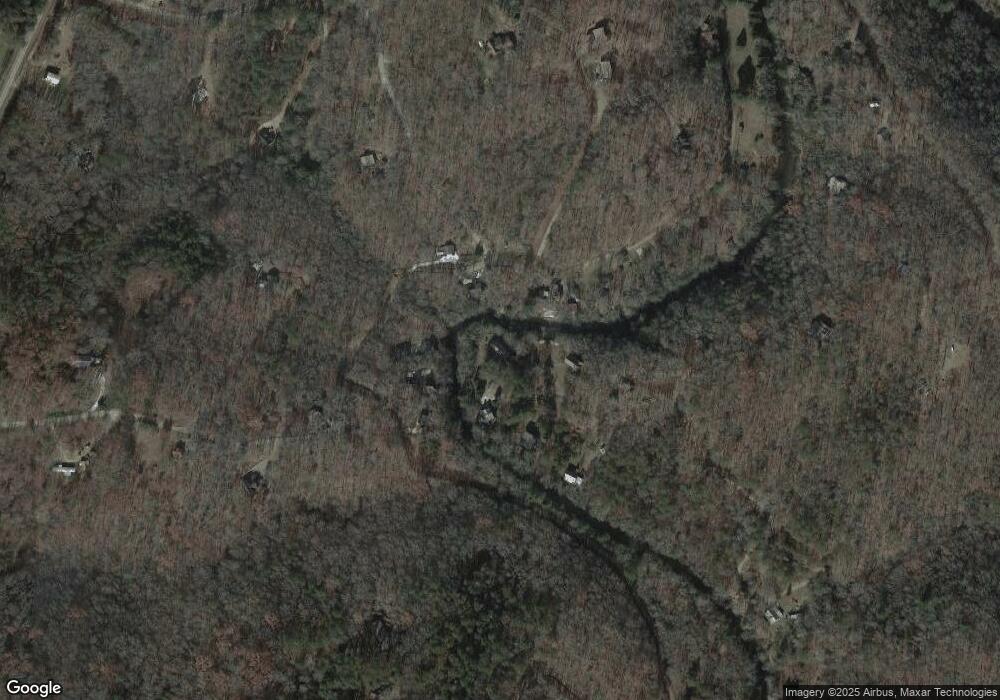
118 Creek Bend Rd Blue Ridge, GA 30513
Estimated Value: $341,987 - $745,000
--
Bed
--
Bath
1,512
Sq Ft
$329/Sq Ft
Est. Value
About This Home
This home is located at 118 Creek Bend Rd, Blue Ridge, GA 30513 and is currently estimated at $497,497, approximately $329 per square foot. 118 Creek Bend Rd is a home with nearby schools including Fannin County High School.
Ownership History
Date
Name
Owned For
Owner Type
Purchase Details
Closed on
Jun 24, 2016
Sold by
Brandon Randall G
Bought by
Popadics Timothy J and Popadics Betty G
Current Estimated Value
Home Financials for this Owner
Home Financials are based on the most recent Mortgage that was taken out on this home.
Original Mortgage
$222,095
Outstanding Balance
$176,209
Interest Rate
3.64%
Mortgage Type
VA
Estimated Equity
$321,288
Purchase Details
Closed on
Aug 16, 2001
Sold by
Dunsmore Raymond E
Bought by
Brandon Randall G
Purchase Details
Closed on
Oct 2, 1998
Sold by
Pack Terry
Bought by
Dunsmore Raymond E
Purchase Details
Closed on
Oct 6, 1995
Sold by
Marraccini Michelle
Bought by
Pack Terry
Purchase Details
Closed on
Dec 12, 1994
Sold by
Phillips William H
Bought by
Marraccini Michelle
Purchase Details
Closed on
Sep 12, 1994
Sold by
Anderson George
Bought by
Phillips William H
Purchase Details
Closed on
Jun 29, 1990
Bought by
Anderson George
Create a Home Valuation Report for This Property
The Home Valuation Report is an in-depth analysis detailing your home's value as well as a comparison with similar homes in the area
Home Values in the Area
Average Home Value in this Area
Purchase History
| Date | Buyer | Sale Price | Title Company |
|---|---|---|---|
| Popadics Timothy J | $215,000 | -- | |
| Brandon Randall G | $157,000 | -- | |
| Dunsmore Raymond E | $96,500 | -- | |
| Pack Terry | $10,100 | -- | |
| Marraccini Michelle | -- | -- | |
| Phillips William H | $8,500 | -- | |
| Anderson George | $6,000 | -- |
Source: Public Records
Mortgage History
| Date | Status | Borrower | Loan Amount |
|---|---|---|---|
| Open | Popadics Timothy J | $222,095 |
Source: Public Records
Tax History Compared to Growth
Tax History
| Year | Tax Paid | Tax Assessment Tax Assessment Total Assessment is a certain percentage of the fair market value that is determined by local assessors to be the total taxable value of land and additions on the property. | Land | Improvement |
|---|---|---|---|---|
| 2025 | $1,108 | $135,532 | $24,436 | $111,096 |
| 2024 | $1,108 | $128,177 | $24,436 | $103,741 |
| 2023 | $1,076 | $107,556 | $24,436 | $83,120 |
| 2022 | $1,382 | $135,554 | $24,436 | $111,118 |
| 2021 | $972 | $69,353 | $24,436 | $44,917 |
| 2020 | $988 | $69,353 | $24,436 | $44,917 |
| 2019 | $1,008 | $69,353 | $24,436 | $44,917 |
| 2018 | $1,067 | $69,253 | $24,336 | $44,917 |
| 2017 | $1,235 | $69,823 | $24,336 | $45,487 |
| 2016 | $1,035 | $60,914 | $19,756 | $41,158 |
| 2015 | $1,076 | $60,649 | $17,654 | $42,995 |
| 2014 | $1,042 | $59,827 | $12,595 | $47,232 |
| 2013 | -- | $49,130 | $12,594 | $36,536 |
Source: Public Records
Map
Nearby Homes
- 55 Deer Watch Ln
- 25 Rocky Dam Rd
- 150 Cadence Way
- 450 Miracle Ln
- 184 Spence Rd
- 184 Spence Rd
- 1099 Lickskillet Cir
- 3382 Lickskillet Rd
- 3448 Lickskillet Rd
- 98 Saddle Back Trail
- 100 TR1 Trails End
- 2704 Lebanon Rd
- 3 Acres Trail's End Rd
- 107 Cool Creek Trail
- 163 Cherokee Path
- 390 Sunny Brook Rd
- 445 Twin Creeks
- 222 Icy Ln
- 332 Night Ln
- 136 Oasis Dr
- 0 Deer Watch Ln Unit 252707
- 9.71 Deer Watch Ln
- 21.08 Deer Watch Ln
- 33.96 Deer Watch Ln
- 174 Deer Watch Ln
- 304 Deerwatch Ln
- 304 Deer Watch Ln
- 55 Deer Watch Ln
- 107 Lickskillet Ln
- 127 Dew Drop Ln
- 204 Lickskillet Ln
- 264 Lickskillet Ln
- 134 Lickskillet Ln
- 400 Dew Drop Ln
- 400 Dew Drop Ln
- 02301 Rocky Dam Rd
- 1703 Lebanon Rd
- 690 Deer Watch Ln
- 331 Lickskillet Ln
- 101 Thunder Rock Rd
