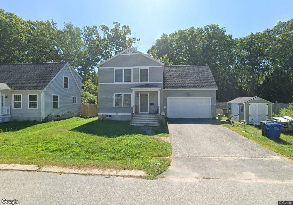
118 Cumberland Rd South Portland, ME 04106
Highland NeighborhoodEstimated Value: $496,000 - $670,000
3
Beds
2
Baths
1,440
Sq Ft
$426/Sq Ft
Est. Value
About This Home
This home is located at 118 Cumberland Rd, South Portland, ME 04106 and is currently estimated at $613,048, approximately $425 per square foot. 118 Cumberland Rd is a home located in Cumberland County with nearby schools including Dyer Elementary School, South Portland High School, and Greater Portland Christian School.
Ownership History
Date
Name
Owned For
Owner Type
Purchase Details
Closed on
Mar 2, 2010
Sold by
Creative Landvest Llc
Bought by
Hoyt Alan D and Hoyt Theresa M
Current Estimated Value
Home Financials for this Owner
Home Financials are based on the most recent Mortgage that was taken out on this home.
Original Mortgage
$249,000
Outstanding Balance
$166,100
Interest Rate
5.11%
Mortgage Type
Purchase Money Mortgage
Estimated Equity
$446,948
Create a Home Valuation Report for This Property
The Home Valuation Report is an in-depth analysis detailing your home's value as well as a comparison with similar homes in the area
Home Values in the Area
Average Home Value in this Area
Purchase History
| Date | Buyer | Sale Price | Title Company |
|---|---|---|---|
| Hoyt Alan D | -- | -- |
Source: Public Records
Mortgage History
| Date | Status | Borrower | Loan Amount |
|---|---|---|---|
| Open | Hoyt Alan D | $249,000 |
Source: Public Records
Tax History Compared to Growth
Tax History
| Year | Tax Paid | Tax Assessment Tax Assessment Total Assessment is a certain percentage of the fair market value that is determined by local assessors to be the total taxable value of land and additions on the property. | Land | Improvement |
|---|---|---|---|---|
| 2024 | $7,021 | $531,900 | $156,100 | $375,800 |
| 2023 | $5,826 | $412,000 | $98,200 | $313,800 |
| 2022 | $5,612 | $360,700 | $78,500 | $282,200 |
| 2021 | $5,207 | $354,200 | $78,500 | $275,700 |
| 2020 | $4,957 | $251,000 | $71,400 | $179,600 |
| 2019 | $4,794 | $251,000 | $71,400 | $179,600 |
| 2018 | $4,644 | $251,000 | $71,400 | $179,600 |
| 2017 | $4,518 | $251,000 | $71,400 | $179,600 |
| 2016 | $4,443 | $251,000 | $71,400 | $179,600 |
| 2015 | $4,367 | $251,000 | $71,400 | $179,600 |
| 2014 | $4,019 | $251,000 | $71,400 | $179,600 |
| 2013 | -- | $242,700 | $71,400 | $171,300 |
Source: Public Records
Map
Nearby Homes
- 75 Mckinley St
- 23 Buchanan St
- 60 Elizabeth Taylor Ln
- 42 Buchanan St
- 81 Washington Ave
- 66 Evans St Unit 3
- 7 Allen Rd
- 1035 Broadway
- 404 Lincoln St
- 1236 Broadway
- 1238 Broadway
- 34 Minott St Unit B7
- 42 Reynolds St
- 56 Peary Terrace
- 17 b Peary Terrace
- 1 Karynel Dr Unit 1
- 267 Pleasant Ave
- 268 Pleasant Ave
- 1309 Broadway
- 9 Lawn Ave
- 114 Cumberland Rd
- 115 Cumberland Rd
- 109 Cumberland Rd
- 130 Cumberland Rd
- 110 Cumberland Rd
- 106 Cumberland Rd
- 115 Alfred St
- 74 George St
- 103 Cumberland Rd
- 80 George St
- 111 Alfred St
- 70 George St
- 102 Cumberland Rd
- 107 Alfred St
- 68 George St
- 99 Cumberland Rd
- 98 Cumberland Rd
- 89 George St
- 56 George St
- 97 Cumberland Rd