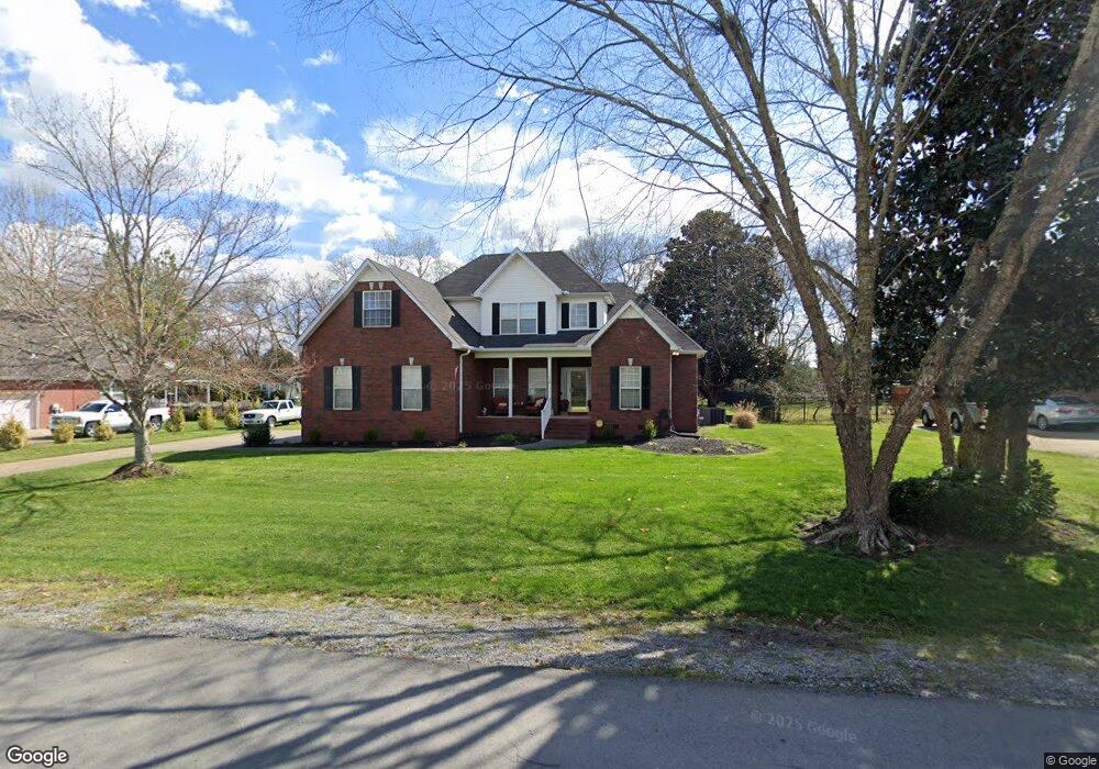
118 Cusick Ct Murfreesboro, TN 37128
Estimated Value: $463,550 - $595,000
Studio
3
Baths
2,186
Sq Ft
$245/Sq Ft
Est. Value
About This Home
This home is located at 118 Cusick Ct, Murfreesboro, TN 37128 and is currently estimated at $536,388, approximately $245 per square foot. 118 Cusick Ct is a home located in Rutherford County with nearby schools including Blackman Elementary School, Blackman Middle School, and Blackman High School.
Ownership History
Date
Name
Owned For
Owner Type
Purchase Details
Closed on
Dec 26, 2005
Sold by
Slaasted Jeffrey D
Bought by
Stephens Shannon R
Current Estimated Value
Home Financials for this Owner
Home Financials are based on the most recent Mortgage that was taken out on this home.
Original Mortgage
$194,400
Outstanding Balance
$109,892
Interest Rate
6.19%
Estimated Equity
$426,496
Purchase Details
Closed on
Jan 2, 2001
Sold by
Martin James S
Bought by
Slaasted Jeffrey D and Slaasted Tiffa
Create a Home Valuation Report for This Property
The Home Valuation Report is an in-depth analysis detailing your home's value as well as a comparison with similar homes in the area
Home Values in the Area
Average Home Value in this Area
Purchase History
| Date | Buyer | Sale Price | Title Company |
|---|---|---|---|
| Stephens Shannon R | $243,000 | -- | |
| Stephens Shannon R | $243,000 | -- | |
| Slaasted Jeffrey D | $173,000 | -- | |
| Martin James S | -- | -- |
Source: Public Records
Mortgage History
| Date | Status | Borrower | Loan Amount |
|---|---|---|---|
| Open | Stephens Shannon R | $194,400 | |
| Closed | Stephens Shannon R | $48,600 | |
| Closed | Stephens Shannon R | $194,400 |
Source: Public Records
Tax History
| Year | Tax Paid | Tax Assessment Tax Assessment Total Assessment is a certain percentage of the fair market value that is determined by local assessors to be the total taxable value of land and additions on the property. | Land | Improvement |
|---|---|---|---|---|
| 2025 | $1,871 | $99,700 | $17,500 | $82,200 |
| 2024 | $1,871 | $99,700 | $17,500 | $82,200 |
| 2023 | $1,871 | $99,700 | $17,500 | $82,200 |
| 2022 | $1,611 | $99,700 | $17,500 | $82,200 |
| 2021 | $1,448 | $65,250 | $11,250 | $54,000 |
| 2020 | $1,448 | $65,250 | $11,250 | $54,000 |
| 2019 | $1,448 | $65,250 | $11,250 | $54,000 |
| 2018 | $1,370 | $65,250 | $0 | $0 |
| 2017 | $1,359 | $50,725 | $0 | $0 |
| 2016 | $1,359 | $50,725 | $0 | $0 |
| 2015 | $1,359 | $50,725 | $0 | $0 |
| 2014 | $1,261 | $50,725 | $0 | $0 |
| 2013 | -- | $50,875 | $0 | $0 |
Source: Public Records
Map
Nearby Homes
- 6549 Dynasty Dr
- 210 Steelson Way
- 5923 Enclave Dr
- 5350 Tony Lama Ln
- 6502 Franklin Rd
- 1226 Cotillion Dr
- 1234 Cotillion Dr
- 1221 Avery Dr
- 5443 Cloister Dr
- 5326 Dan Post Way
- 131 Kingwood Ln
- 319 Annadel St
- 5311 Tony Lama Ln
- 5304 Dan Post Way
- 5810 Enclave Dr
- 5751 Enclave Dr
- 6430 Hickory Bell Dr
- 5807 Roxbury Dr
- 1116 Westlawn Blvd
- 1482 Cotillion Dr
Your Personal Tour Guide
Ask me questions while you tour the home.