118 David Pond Rd Fayette, ME 04349
Estimated Value: $387,000 - $467,913
3
Beds
2
Baths
2,334
Sq Ft
$177/Sq Ft
Est. Value
About This Home
This home is located at 118 David Pond Rd, Fayette, ME 04349 and is currently estimated at $412,728, approximately $176 per square foot. 118 David Pond Rd is a home located in Kennebec County with nearby schools including Fayette Central School.
Ownership History
Date
Name
Owned For
Owner Type
Purchase Details
Closed on
Nov 17, 2006
Sold by
King Sierra B and Barker Sierra
Bought by
High Valley Group Inc
Current Estimated Value
Home Financials for this Owner
Home Financials are based on the most recent Mortgage that was taken out on this home.
Original Mortgage
$75,200
Outstanding Balance
$44,781
Interest Rate
6.33%
Mortgage Type
Purchase Money Mortgage
Estimated Equity
$367,947
Purchase Details
Closed on
Apr 24, 2006
Sold by
Pomerleau David J and Pomerleau Valerie J
Bought by
High Valley Group Inc
Create a Home Valuation Report for This Property
The Home Valuation Report is an in-depth analysis detailing your home's value as well as a comparison with similar homes in the area
Home Values in the Area
Average Home Value in this Area
Purchase History
| Date | Buyer | Sale Price | Title Company |
|---|---|---|---|
| High Valley Group Inc | -- | -- | |
| High Valley Group Inc | -- | -- |
Source: Public Records
Mortgage History
| Date | Status | Borrower | Loan Amount |
|---|---|---|---|
| Open | High Valley Group Inc | $75,200 |
Source: Public Records
Tax History Compared to Growth
Tax History
| Year | Tax Paid | Tax Assessment Tax Assessment Total Assessment is a certain percentage of the fair market value that is determined by local assessors to be the total taxable value of land and additions on the property. | Land | Improvement |
|---|---|---|---|---|
| 2024 | $4,017 | $296,900 | $67,600 | $229,300 |
| 2023 | $3,964 | $296,900 | $67,600 | $229,300 |
| 2022 | $3,946 | $296,900 | $67,600 | $229,300 |
| 2021 | $3,659 | $194,100 | $36,700 | $157,400 |
| 2020 | $3,659 | $194,100 | $36,700 | $157,400 |
| 2019 | $3,639 | $194,100 | $36,700 | $157,400 |
| 2018 | $3,504 | $194,100 | $36,700 | $157,400 |
| 2017 | $3,203 | $194,100 | $36,700 | $157,400 |
| 2016 | $3,009 | $194,100 | $36,700 | $157,400 |
| 2015 | $2,931 | $194,100 | $36,700 | $157,400 |
| 2014 | $2,912 | $194,100 | $36,700 | $157,400 |
| 2013 | $2,669 | $194,100 | $36,700 | $157,400 |
Source: Public Records
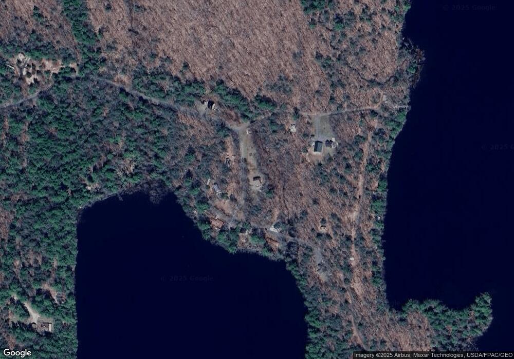
Map
Nearby Homes
- TBD Blue Jay Way
- 369 Sandy River Rd
- 29 Quimby Ln
- 52 Quimby Ln
- 148 East Rd
- 108 West Rd
- 3079 Main St
- 208 Main Rd
- 0 Fayette Ridge Rd Unit 1634764
- 435 Ithiel Gordon Rd
- 0 Baldwin Hill Rd Unit 1624053
- Lot 42C Baldwin Hill Rd
- Lot 48-4 Baldwin Hill Rd
- 172 Baldwin Hill Rd
- 492 Point Dr
- 480 Point Dr
- Lot 11 Herrin Woods Rd
- 14 Main St
- 214 Desert Pond Rd
- 9 Pinegrove Rd
- 123 David Pond Rd
- 111 David Pond Rd
- 134 David Pond Rd
- 7 Black Bird Way
- 127 David Pond Rd
- 125 David Pond Rd
- 32 Blue Jay Way
- 0 Blue Jay Way Unit 1029676
- 0 Blue Jay Way Unit 1095246
- 137 David Pond Rd
- 14 Black Bird Way
- 17 Blue Jay Way
- 98 David Pond Rd
- 139 David Pond Rd
- 40 Blue Jay Way
- 66 Blue Jay Way
- 34 Blue Jay Way
- MU15,R9 L4 Blue Jay Way
- 20 Flagg Way
- 22 Flagg Way