Estimated Value: $93,873 - $204,000
Studio
--
Bath
1,440
Sq Ft
$103/Sq Ft
Est. Value
About This Home
This home is located at 118 Davis Dr, Mauk, GA 31058 and is currently estimated at $148,937, approximately $103 per square foot. 118 Davis Dr is a home with nearby schools including L.K. Moss Elementary School and Marion County Middle/High School.
Ownership History
Date
Name
Owned For
Owner Type
Purchase Details
Closed on
Jan 25, 2022
Sold by
Morgan Richard L
Bought by
Riddley Deborah L and Riddley Willis A
Current Estimated Value
Purchase Details
Closed on
Jun 8, 2016
Sold by
Turner Faye Bowen
Bought by
Morgan Richard L
Home Financials for this Owner
Home Financials are based on the most recent Mortgage that was taken out on this home.
Original Mortgage
$14,000
Interest Rate
3.57%
Mortgage Type
New Conventional
Purchase Details
Closed on
Dec 22, 2008
Sold by
Bowen Daniel
Bought by
Turner Faye
Purchase Details
Closed on
Mar 25, 1994
Bought by
Bowen Christine
Create a Home Valuation Report for This Property
The Home Valuation Report is an in-depth analysis detailing your home's value as well as a comparison with similar homes in the area
Purchase History
| Date | Buyer | Sale Price | Title Company |
|---|---|---|---|
| Riddley Deborah L | $30,000 | -- | |
| Morgan Richard L | $15,000 | -- | |
| Turner Faye | -- | -- | |
| Bowen Christine | -- | -- |
Source: Public Records
Mortgage History
| Date | Status | Borrower | Loan Amount |
|---|---|---|---|
| Previous Owner | Morgan Richard L | $14,000 |
Source: Public Records
Tax History
| Year | Tax Paid | Tax Assessment Tax Assessment Total Assessment is a certain percentage of the fair market value that is determined by local assessors to be the total taxable value of land and additions on the property. | Land | Improvement |
|---|---|---|---|---|
| 2024 | $730 | $39,642 | $5,617 | $34,025 |
| 2023 | $745 | $39,642 | $5,617 | $34,025 |
| 2022 | $908 | $38,071 | $5,617 | $32,454 |
| 2021 | $883 | $37,241 | $5,617 | $31,624 |
| 2020 | $425 | $17,807 | $5,617 | $12,190 |
| 2019 | $424 | $17,807 | $5,617 | $12,190 |
| 2018 | $424 | $17,807 | $5,617 | $12,190 |
| 2017 | $286 | $1,001 | $0 | $1,001 |
| 2016 | $312 | $1,001 | $0 | $1,001 |
| 2013 | -- | $14,654 | $6,912 | $7,741 |
Source: Public Records
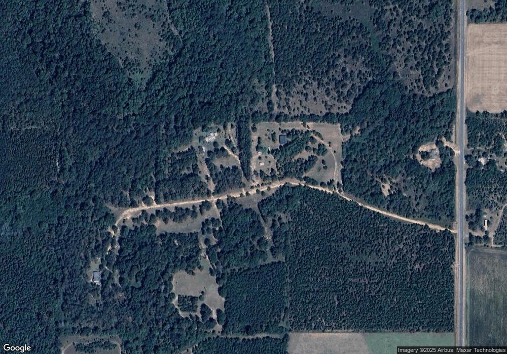
Map
Nearby Homes
- 115 Watermelon Ln
- 62 Brannon Montgomery Rd
- 3742 Georgia 240
- SR-240 Connector
- 221 Flamingo Dr
- 0 Brannon Montgomery Rd Unit 25510431
- 0 Georgia 240
- 656 Bridle Path Ln
- 000 Bridle Path Ln
- 375 Village Ln
- 65 Saddle Trail
- 2450 Fort Perry Rd
- 0 Hunter Dr Unit 10679629
- 000 Hunter Dr
- 15 Georgia 127
- 245 Dog Track Rd
- 0 Fuller Rd Unit 22846458
- 1009 Walter Wells Rd
- 0 Miller Rd Unit 25510377
- 0 Miller Rd Unit 25510378
- 3004 Ga Highway 240 N
- 2623 Ga Highway 127
- 1010 Johnson Cemetery Rd
- 2719 Ga Highway 127
- 3152 Ga Highway 240 N
- 2650 Ga Highway 127
- 2565 Ga Highway 127
- 853 Johnson Cemetery Rd
- 3254 Ga Highway 240 N
- 2818 Ga Highway 127
- 707 Ga Highway 240 Conn
- 749 Johnson Cemetery Rd
- 3285 Ga Highway 240 N
- 2255 Joe Wells Rd
- 3278 Ga Highway 240 N
- 3278 Georgia 240
- 2620 Ga Highway 127
- 2894 Ga Highway 127
- 116 Ol Pike Rd
- Tract 1 Joe Wells Rd
Your Personal Tour Guide
Ask me questions while you tour the home.