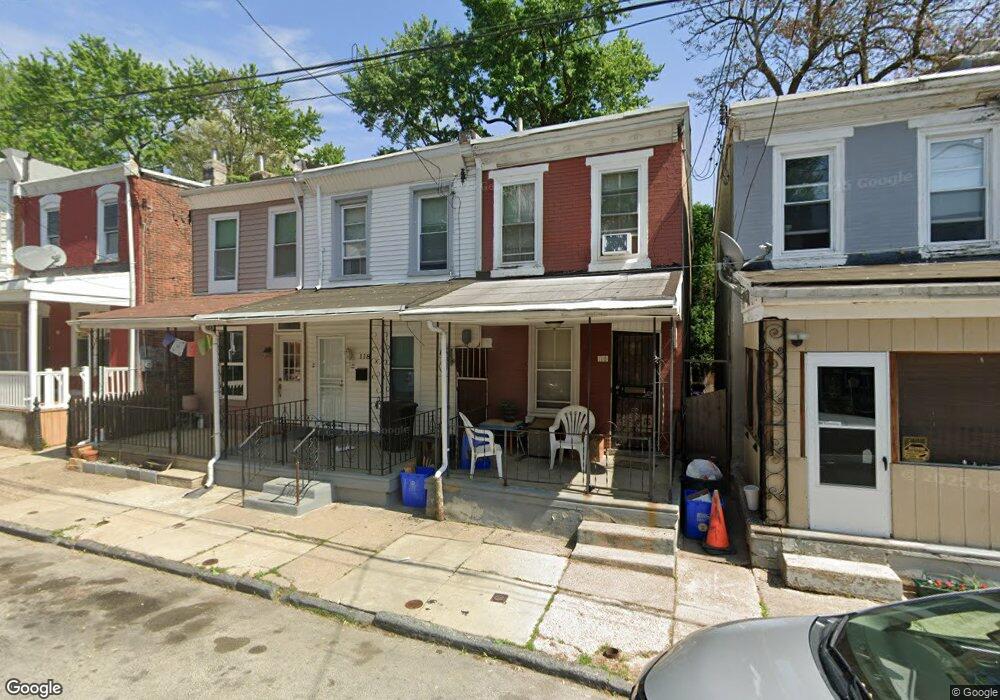
118 E Meehan Ave Philadelphia, PA 19119
East Mount Airy NeighborhoodEstimated Value: $184,000 - $201,000
3
Beds
1
Bath
884
Sq Ft
$221/Sq Ft
Est. Value
About This Home
This home is located at 118 E Meehan Ave, Philadelphia, PA 19119 and is currently estimated at $195,000, approximately $220 per square foot. 118 E Meehan Ave is a home located in Philadelphia County with nearby schools including Eleanor C. Emlen School, Roosevelt Theodore Middle School, and Martin Luther King High School.
Ownership History
Date
Name
Owned For
Owner Type
Purchase Details
Closed on
Oct 19, 2016
Sold by
Bryant Anthony W
Bought by
Davis Antoine
Current Estimated Value
Purchase Details
Closed on
Jan 10, 2014
Sold by
Davis Antoine Raymond
Bought by
Bryant Anthony W
Purchase Details
Closed on
Jul 16, 2013
Sold by
Estate Of Mary E Garner
Bought by
Davis Antoine R
Purchase Details
Closed on
Apr 28, 1966
Bought by
Mary E Garner Wid
Create a Home Valuation Report for This Property
The Home Valuation Report is an in-depth analysis detailing your home's value as well as a comparison with similar homes in the area
Home Values in the Area
Average Home Value in this Area
Purchase History
| Date | Buyer | Sale Price | Title Company |
|---|---|---|---|
| Davis Antoine | $7,500 | None Available | |
| Bryant Anthony W | $25,000 | None Available | |
| Davis Antoine R | $13,000 | None Available | |
| Mary E Garner Wid | -- | -- |
Source: Public Records
Tax History Compared to Growth
Tax History
| Year | Tax Paid | Tax Assessment Tax Assessment Total Assessment is a certain percentage of the fair market value that is determined by local assessors to be the total taxable value of land and additions on the property. | Land | Improvement |
|---|---|---|---|---|
| 2025 | $1,440 | $138,300 | $27,660 | $110,640 |
| 2024 | $1,440 | $138,300 | $27,660 | $110,640 |
| 2023 | $1,440 | $102,900 | $20,580 | $82,320 |
| 2022 | $1,015 | $102,900 | $20,580 | $82,320 |
| 2021 | $1,015 | $0 | $0 | $0 |
| 2020 | $1,015 | $0 | $0 | $0 |
| 2019 | $1,060 | $0 | $0 | $0 |
| 2018 | $1,216 | $0 | $0 | $0 |
| 2017 | $1,216 | $0 | $0 | $0 |
| 2016 | $1,216 | $0 | $0 | $0 |
| 2015 | $1,153 | $0 | $0 | $0 |
| 2014 | -- | $86,900 | $7,353 | $79,547 |
| 2012 | -- | $5,792 | $1,386 | $4,406 |
Source: Public Records
Map
Nearby Homes
- 135 E Pleasant St
- 122 E Meehan Ave
- 221 E Slocum St
- 203 E Slocum St Unit A
- 6833 Musgrave St
- 224 E Dorset St
- 6807 Chew Ave
- 6714 Bass St
- 305 E Vernon Rd
- 231 E Phil Ellena St
- 213 E E Phil Ellena St
- 101 E Phil Ellena St
- 244 E Springer St
- 135 E Springer St
- 320 E Phil Ellena St
- 6641 Crowson St
- 411 E Vernon Rd
- 6631 Musgrave St
- 400 E Vernon Rd
- 6627 Musgrave St
- 116 E Meehan Ave
- 120 E Meehan Ave
- 114 E Meehan Ave
- 112 E Meehan Ave
- 124 E Meehan Ave
- 110 E Meehan Ave
- 126 E Meehan Ave
- 108 E Meehan Ave
- 121 E Pleasant St
- 130 E Meehan Ave
- 106 Meehan Ave
- 132 E Meehan Ave
- 102 E Meehan Ave
- 113 E Meehan Ave
- 115 E Meehan Ave
- 117 E Meehan Ave
- 111 E Meehan Ave
- 133 E Pleasant St
- 100 E Meehan Ave
- 119 E Meehan Ave