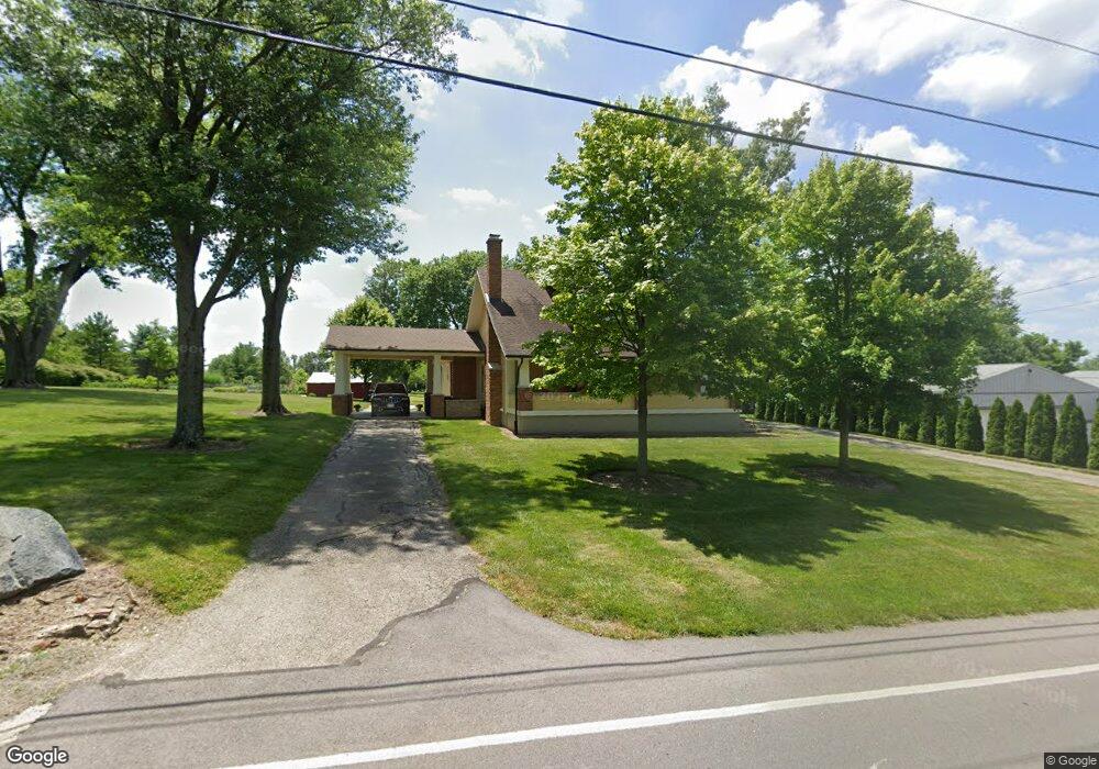
118 E Westbrook Rd Brookville, OH 45309
Estimated Value: $270,000 - $299,000
3
Beds
2
Baths
1,708
Sq Ft
$165/Sq Ft
Est. Value
About This Home
This home is located at 118 E Westbrook Rd, Brookville, OH 45309 and is currently estimated at $282,625, approximately $165 per square foot. 118 E Westbrook Rd is a home located in Montgomery County with nearby schools including Brookville Elementary School, Brookville Intermediate School, and Brookville High School.
Ownership History
Date
Name
Owned For
Owner Type
Purchase Details
Closed on
Nov 3, 2025
Sold by
Peters Ricky L and Peters Sheri R
Bought by
Ricky And Sheri Peters Dynasty Trust and Peters
Current Estimated Value
Purchase Details
Closed on
Mar 18, 2011
Sold by
Wilson William J and Wilson Virginia R
Bought by
Peters Ricky L and Peters Sheri R
Home Financials for this Owner
Home Financials are based on the most recent Mortgage that was taken out on this home.
Original Mortgage
$112,000
Interest Rate
5.2%
Mortgage Type
Purchase Money Mortgage
Create a Home Valuation Report for This Property
The Home Valuation Report is an in-depth analysis detailing your home's value as well as a comparison with similar homes in the area
Home Values in the Area
Average Home Value in this Area
Purchase History
| Date | Buyer | Sale Price | Title Company |
|---|---|---|---|
| Ricky And Sheri Peters Dynasty Trust | -- | None Listed On Document | |
| Peters Ricky L | $140,000 | Attorney |
Source: Public Records
Mortgage History
| Date | Status | Borrower | Loan Amount |
|---|---|---|---|
| Previous Owner | Peters Ricky L | $112,000 |
Source: Public Records
Tax History
| Year | Tax Paid | Tax Assessment Tax Assessment Total Assessment is a certain percentage of the fair market value that is determined by local assessors to be the total taxable value of land and additions on the property. | Land | Improvement |
|---|---|---|---|---|
| 2025 | $3,879 | $74,160 | $28,060 | $46,100 |
| 2024 | $3,748 | $74,160 | $28,060 | $46,100 |
| 2023 | $3,748 | $74,160 | $28,060 | $46,100 |
| 2022 | $3,431 | $52,590 | $19,900 | $32,690 |
| 2021 | $3,235 | $52,590 | $19,900 | $32,690 |
| 2020 | $2,862 | $46,410 | $19,900 | $26,510 |
| 2019 | $3,163 | $46,990 | $19,900 | $27,090 |
| 2018 | $3,159 | $46,990 | $19,900 | $27,090 |
| 2017 | $3,149 | $46,990 | $19,900 | $27,090 |
Source: Public Records
Map
Nearby Homes
- 232 Maple St
- 107 Evergreen Way
- 102 Meadowlark Ln
- 102 Meadowlark Ln Unit 905-201
- 104 Meadowlark Ln
- 104 Meadowlark Ln Unit 905-202
- 115 Ostend St
- 421 Market St
- 12 Harshman St
- 144 Evergreen Way
- 254 Crosswell Ave
- 115 N Wolf Creek St
- 126 Church St
- 336 N Wolf Creek St
- 766 Hunters Run Dr
- 124 Ankara Ave
- 143 Antwerp Ave
- 150 Antwerp Ave
- 164 Autumn Maple Ln
- 827 Shaney Ln
- 112 E Westbrook Rd
- 445 Sycamore St
- 459 Maple St
- 200 E Westbrook Rd
- 444 Sycamore St
- 32 E Westbrook Rd
- 451 Maple St
- 206 E Westbrook Rd
- 421 S Wolf Creek Pike
- 421 S Wolf Creek Pike
- 437 Maple St
- 125 E Westbrook Rd
- 434 Sycamore St
- 458 Maple St
- 423 Sycamore St
- 12629 S Wolf Creek Pike
- 429 Maple St
- 401 S Wolf Creek St
- 0 Westbrook Rd Unit 399808
- 0 Westbrook Rd Unit 418863
Your Personal Tour Guide
Ask me questions while you tour the home.