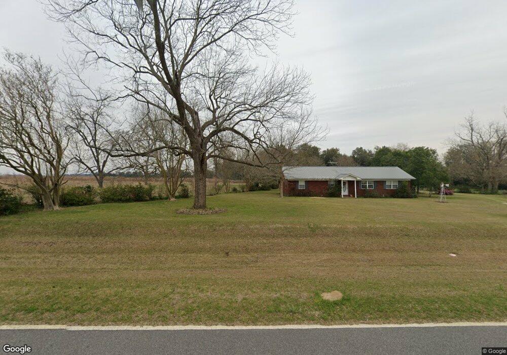
118 Enterprise Rd Colquitt, GA 39837
Estimated Value: $193,000 - $502,144
3
Beds
2
Baths
1,482
Sq Ft
$203/Sq Ft
Est. Value
About This Home
This home is located at 118 Enterprise Rd, Colquitt, GA 39837 and is currently estimated at $300,786, approximately $202 per square foot. 118 Enterprise Rd is a home located in Miller County with nearby schools including Miller County Elementary School, Miller County Middle School, and Miller County High School.
Ownership History
Date
Name
Owned For
Owner Type
Purchase Details
Closed on
Mar 6, 2025
Sold by
Holland Cheryl Ann G
Bought by
Holland Bruce and Holland Cheryl Ann
Current Estimated Value
Purchase Details
Closed on
Feb 26, 2025
Sold by
Gowan James Steven
Bought by
Holland Cheryl Ann G
Purchase Details
Closed on
Feb 24, 2025
Sold by
Smith Margaret G
Bought by
Mixson Glenda Sue and Holland Cheryl Ann
Purchase Details
Closed on
Jan 7, 2025
Sold by
Smith Margaret G
Bought by
Gowan Sammy Lewis
Purchase Details
Closed on
Jun 17, 2024
Sold by
Smith Margaret G
Bought by
Mixson Glenda Sue
Purchase Details
Closed on
Mar 17, 2024
Sold by
Smith Margaret G
Bought by
Gowan James Steven
Purchase Details
Closed on
Apr 27, 2017
Sold by
Smith Margaret G
Bought by
Gowan Sammy L
Purchase Details
Closed on
Oct 10, 2001
Bought by
Smith Margaret G
Create a Home Valuation Report for This Property
The Home Valuation Report is an in-depth analysis detailing your home's value as well as a comparison with similar homes in the area
Home Values in the Area
Average Home Value in this Area
Purchase History
| Date | Buyer | Sale Price | Title Company |
|---|---|---|---|
| Holland Bruce | -- | -- | |
| Holland Cheryl Ann G | $90,000 | -- | |
| Mixson Glenda Sue | -- | -- | |
| Gowan Sammy Lewis | -- | -- | |
| Holland Cheryl Ann G | -- | -- | |
| Mixson Glenda Sue | -- | -- | |
| Gowan James Steven | -- | -- | |
| Gowan Sammy L | -- | -- | |
| Smith Margaret G | -- | -- |
Source: Public Records
Tax History Compared to Growth
Tax History
| Year | Tax Paid | Tax Assessment Tax Assessment Total Assessment is a certain percentage of the fair market value that is determined by local assessors to be the total taxable value of land and additions on the property. | Land | Improvement |
|---|---|---|---|---|
| 2024 | $3,585 | $157,611 | $96,807 | $60,804 |
| 2023 | $3,192 | $142,042 | $96,807 | $45,235 |
| 2022 | $3,276 | $139,537 | $96,807 | $42,730 |
| 2021 | $3,188 | $139,537 | $96,807 | $42,730 |
| 2020 | $3,137 | $139,537 | $96,807 | $42,730 |
| 2019 | $3,096 | $139,537 | $96,807 | $42,730 |
| 2018 | $4,933 | $133,768 | $96,807 | $36,961 |
| 2017 | $4,994 | $135,415 | $98,454 | $36,961 |
| 2016 | $2,864 | $139,533 | $98,454 | $41,079 |
| 2015 | -- | $100,510 | $63,033 | $37,477 |
| 2014 | -- | $95,940 | $58,463 | $37,477 |
| 2013 | -- | $95,940 | $58,462 | $37,477 |
Source: Public Records
Map
Nearby Homes
- 394 Bush Dairy Rd
- 1645 Georgia 91
- 994 Hornsby Rd
- 308 E Carr St
- lot 564 Martin Dr
- lot 565 Martin Dr
- 000 Hagen Still Rd
- 000 Hagen Still Rd
- 816 E 6th St
- 210 W Crawford St
- 0 Hagen-Still Rd
- 000 Hagen-Still Rd
- 508 S Tennille Ave
- 1068 Georgia 39
- 202 W 4th St
- 307 S Morris Ave
- 403 S Newcombe Ave
- 136 S Church St
- 300 W 13th St
- 1203 S Morris Ave