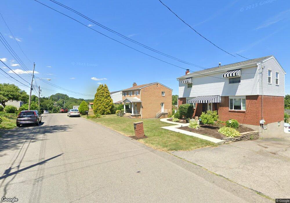
118 Euclid Ave Mc Kees Rocks, PA 15136
Stowe Township NeighborhoodEstimated Value: $196,000 - $280,000
3
Beds
1
Bath
2,472
Sq Ft
$97/Sq Ft
Est. Value
About This Home
This home is located at 118 Euclid Ave, Mc Kees Rocks, PA 15136 and is currently estimated at $240,818, approximately $97 per square foot. 118 Euclid Ave is a home located in Allegheny County with nearby schools including Sto-Rox Upper Elementary School, Sto-Rox Primary Center, and Sto-Rox Junior/Senior High School.
Ownership History
Date
Name
Owned For
Owner Type
Purchase Details
Closed on
Sep 22, 2003
Sold by
Yakelis Daniel A
Bought by
Gerwell Richard
Current Estimated Value
Home Financials for this Owner
Home Financials are based on the most recent Mortgage that was taken out on this home.
Original Mortgage
$109,000
Outstanding Balance
$50,808
Interest Rate
6.31%
Mortgage Type
New Conventional
Estimated Equity
$190,010
Purchase Details
Closed on
Apr 15, 1994
Sold by
Bartram Susan L
Bought by
Yakelis Daniel A
Create a Home Valuation Report for This Property
The Home Valuation Report is an in-depth analysis detailing your home's value as well as a comparison with similar homes in the area
Home Values in the Area
Average Home Value in this Area
Purchase History
| Date | Buyer | Sale Price | Title Company |
|---|---|---|---|
| Gerwell Richard | $110,000 | -- | |
| Yakelis Daniel A | $72,000 | -- |
Source: Public Records
Mortgage History
| Date | Status | Borrower | Loan Amount |
|---|---|---|---|
| Open | Gerwell Richard | $109,000 |
Source: Public Records
Tax History Compared to Growth
Tax History
| Year | Tax Paid | Tax Assessment Tax Assessment Total Assessment is a certain percentage of the fair market value that is determined by local assessors to be the total taxable value of land and additions on the property. | Land | Improvement |
|---|---|---|---|---|
| 2025 | $4,649 | $107,600 | $19,600 | $88,000 |
| 2024 | $4,649 | $107,600 | $19,600 | $88,000 |
| 2023 | $4,469 | $107,600 | $19,600 | $88,000 |
| 2022 | $4,327 | $107,600 | $19,600 | $88,000 |
| 2021 | $509 | $107,600 | $19,600 | $88,000 |
| 2020 | $4,229 | $107,600 | $19,600 | $88,000 |
| 2019 | $4,229 | $107,600 | $19,600 | $88,000 |
| 2018 | $509 | $107,600 | $19,600 | $88,000 |
| 2017 | $4,132 | $107,600 | $19,600 | $88,000 |
| 2016 | $509 | $107,600 | $19,600 | $88,000 |
| 2015 | $509 | $107,600 | $19,600 | $88,000 |
| 2014 | $4,132 | $107,600 | $19,600 | $88,000 |
Source: Public Records
Map
Nearby Homes
- 179 William Cir
- 214 Barbara Dr
- 1550 Glenn Way
- 104 Thorncrest Dr
- 86 Thorncrest Dr
- 155 Roosevelt Ave
- 1490 Island Ave
- 270 Wheeler Ave
- 1421 Fleming Ave
- 543 Elizabeth Ave
- 23 Castle View Dr
- 8 Court Place
- 124 Pleasant Ridge Rd
- 1408 Broadway Ave
- 1406 Broadway Ave
- 1212 Woodward Ave
- 1017 Mccoy Rd
- 932 Ridge Ave
- 809 11th St
- 802 10th St