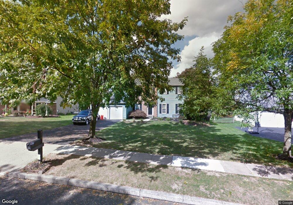
118 Forest Trail Dr Lansdale, PA 19446
Estimated Value: $670,000 - $733,000
4
Beds
3
Baths
2,413
Sq Ft
$291/Sq Ft
Est. Value
About This Home
This home is located at 118 Forest Trail Dr, Lansdale, PA 19446 and is currently estimated at $702,256, approximately $291 per square foot. 118 Forest Trail Dr is a home located in Montgomery County with nearby schools including Bridle Path Elementary School, Pennbrook Middle School, and North Penn Senior High School.
Ownership History
Date
Name
Owned For
Owner Type
Purchase Details
Closed on
Aug 27, 2009
Sold by
Ward Robin J and Ward John J
Bought by
Carroll Carmen M
Current Estimated Value
Home Financials for this Owner
Home Financials are based on the most recent Mortgage that was taken out on this home.
Original Mortgage
$330,814
Outstanding Balance
$218,212
Interest Rate
5.36%
Estimated Equity
$484,044
Purchase Details
Closed on
Aug 2, 1996
Sold by
Trimble R Lincoln and Trimble Stacy F
Bought by
Robin J John J and Ward Robin J
Create a Home Valuation Report for This Property
The Home Valuation Report is an in-depth analysis detailing your home's value as well as a comparison with similar homes in the area
Home Values in the Area
Average Home Value in this Area
Purchase History
| Date | Buyer | Sale Price | Title Company |
|---|---|---|---|
| Carroll Carmen M | -- | None Available | |
| Robin J John J | $182,000 | -- |
Source: Public Records
Mortgage History
| Date | Status | Borrower | Loan Amount |
|---|---|---|---|
| Open | Carroll Carmen M | $330,814 |
Source: Public Records
Tax History Compared to Growth
Tax History
| Year | Tax Paid | Tax Assessment Tax Assessment Total Assessment is a certain percentage of the fair market value that is determined by local assessors to be the total taxable value of land and additions on the property. | Land | Improvement |
|---|---|---|---|---|
| 2025 | $7,448 | $199,640 | -- | -- |
| 2024 | $7,448 | $199,640 | -- | -- |
| 2023 | $7,105 | $199,640 | $0 | $0 |
| 2022 | $6,856 | $199,640 | $0 | $0 |
| 2021 | $6,446 | $199,640 | $0 | $0 |
| 2020 | $6,276 | $199,640 | $0 | $0 |
| 2019 | $6,158 | $199,640 | $0 | $0 |
| 2018 | $1,106 | $199,640 | $0 | $0 |
| 2017 | $5,895 | $199,640 | $0 | $0 |
| 2016 | $5,817 | $199,640 | $0 | $0 |
| 2015 | $5,554 | $199,640 | $0 | $0 |
| 2014 | $5,554 | $199,640 | $0 | $0 |
Source: Public Records
Map
Nearby Homes
- 110 Country Club Dr
- 101 Pioneer Dr
- 405 Country Club Dr
- 219 Pinecrest Ln
- 1308 Morris Ct
- 100 Victoria Dr
- 21 Meadow Glen Rd
- 307 Livingston Ct
- 206 Broad Acres Rd
- 302 Hancock Ct
- 6 Lantern Ln
- 203 Franklin Ct
- 107 Brianna Ct
- 301 Essex Ct
- 534 Airy Ave
- 107 David Ln
- 117 Brianna Ct
- 119 Brianna Ct Unit 10
- 111 Brianna Ct Unit 6
- 111 Brianna Ct
- 116 Forest Trail Dr
- 120 Forest Trail Dr
- 114 Forest Trail Dr
- 122 Forest Trail Dr
- 112 Forest Trail Dr
- 124 Forest Trail Dr
- 115 Forest Trail Dr
- 119 Forest Trail Dr
- 113 Forest Trail Dr
- 121 Forest Trail Dr
- 126 Forest Trail Dr
- 433 B Doylestown Rd
- 433B Doylestown Rd
- 111 Forest Trail Dr
- 125 Forest Trail Dr
- 128 Forest Trail Dr
- 109 Forest Trail Dr
- 106 Forest Trail Dr
- 155 Forest Trail Dr
- 157 Forest Trail Dr