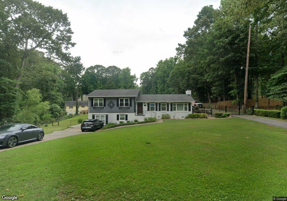
118 Gail Ave Canton, GA 30114
Estimated Value: $418,000 - $462,523
3
Beds
2
Baths
2,140
Sq Ft
$206/Sq Ft
Est. Value
About This Home
This home is located at 118 Gail Ave, Canton, GA 30114 and is currently estimated at $440,262, approximately $205 per square foot. 118 Gail Ave is a home located in Cherokee County with nearby schools including Liberty Elementary School, Freedom Middle School, and Cherokee High School.
Ownership History
Date
Name
Owned For
Owner Type
Purchase Details
Closed on
Sep 5, 2007
Sold by
118 Gail Avenue Land Trust
Bought by
Lunsford Ralph R and Clawson Shannon
Current Estimated Value
Home Financials for this Owner
Home Financials are based on the most recent Mortgage that was taken out on this home.
Original Mortgage
$186,760
Outstanding Balance
$116,365
Interest Rate
6.44%
Mortgage Type
Trade
Estimated Equity
$323,897
Purchase Details
Closed on
Aug 28, 2007
Sold by
Jacobs Peggy A and Jacobs Ricky T
Bought by
118 Gail Avenue Land Trust
Home Financials for this Owner
Home Financials are based on the most recent Mortgage that was taken out on this home.
Original Mortgage
$186,760
Outstanding Balance
$116,365
Interest Rate
6.44%
Mortgage Type
Trade
Estimated Equity
$323,897
Purchase Details
Closed on
Jan 24, 2007
Sold by
Postell Barbara F
Bought by
Jacobs Ricky T and Jacobs Peggy A
Create a Home Valuation Report for This Property
The Home Valuation Report is an in-depth analysis detailing your home's value as well as a comparison with similar homes in the area
Home Values in the Area
Average Home Value in this Area
Purchase History
| Date | Buyer | Sale Price | Title Company |
|---|---|---|---|
| Lunsford Ralph R | $60,800 | -- | |
| 118 Gail Avenue Land Trust | $13,400 | -- | |
| Jacobs Ricky T | -- | -- |
Source: Public Records
Mortgage History
| Date | Status | Borrower | Loan Amount |
|---|---|---|---|
| Open | Lunsford Ralph R | $186,760 |
Source: Public Records
Tax History Compared to Growth
Tax History
| Year | Tax Paid | Tax Assessment Tax Assessment Total Assessment is a certain percentage of the fair market value that is determined by local assessors to be the total taxable value of land and additions on the property. | Land | Improvement |
|---|---|---|---|---|
| 2025 | $4,670 | $177,815 | $37,440 | $140,375 |
| 2024 | $4,353 | $167,495 | $37,440 | $130,055 |
| 2023 | $4,346 | $167,255 | $37,440 | $129,815 |
| 2022 | $3,363 | $127,935 | $33,800 | $94,135 |
| 2021 | $2,995 | $105,495 | $24,440 | $81,055 |
| 2020 | $2,750 | $96,775 | $24,440 | $72,335 |
| 2019 | $2,361 | $83,080 | $23,400 | $59,680 |
| 2018 | $2,039 | $71,320 | $16,120 | $55,200 |
| 2017 | $1,836 | $159,300 | $14,800 | $48,920 |
| 2016 | $1,728 | $148,400 | $14,800 | $44,560 |
| 2015 | $1,658 | $141,000 | $14,800 | $41,600 |
| 2014 | $1,524 | $129,300 | $14,800 | $36,920 |
Source: Public Records
Map
Nearby Homes
- 191 Putnam Rd
- 209 Diamond Valley Pass Unit 1
- 215 Lori Ln
- 295 Lori Ln
- 238 Diamond Valley Pass Unit 1
- 275 Cottonwood Creek Cir
- 256 Butterworth Rd
- 685 Dena Dr
- 629 Butterworth Rd
- 245 Jesse McCollum Dr
- 1527 Keeter Rd
- 245 Villa Creek Pkwy
- 533 Poplar Bend
- 2205 Mills Wood Run
- 529 Poplar Bend
- 808 Inkberry Rd
- 283 Villa Creek Pkwy Unit 35
- 3001 Mills Ridge Dr Unit 1
- 208 Gail Ave
- 3001 Mill Ridge Dr
- 112 Gail Ave
- 149 Gail Ave
- 187 Gail Ave
- 3041 Mills Ridge Dr
- 3010 Mills Ridge Dr Unit 1
- 252 Gail Ave
- 2955 Ridge Rd
- 187 Hillcreek Dr
- 105 Lori Ln
- 2946 Ridge Rd
- 251 Gail Ave
- 184 Clearview Dr
- 3061 Mills Ridge Dr
- 145 Ridge Cir
- 3077 Ridge Rd
- 125 Lori Ln
- 3000 Ridge Rd