118 Gin Rd Gurdon, AR 71743
Estimated Value: $66,986 - $74,000
Studio
--
Bath
--
Sq Ft
51,401
Sq Ft Lot
About This Home
This home is located at 118 Gin Rd, Gurdon, AR 71743 and is currently estimated at $70,329. 118 Gin Rd is a home with nearby schools including Louisa Perritt Primary School, Peake Elementary School, and Goza Middle School.
Ownership History
Date
Name
Owned For
Owner Type
Purchase Details
Closed on
Nov 9, 2010
Sold by
Alexander Jakie and Alexander Janice F
Bought by
Alexander Jakie
Current Estimated Value
Purchase Details
Closed on
Jul 1, 1998
Bought by
Mcdonald William T
Purchase Details
Closed on
Mar 2, 1997
Bought by
Mcdonald
Purchase Details
Closed on
Mar 1, 1997
Purchase Details
Closed on
Sep 1, 1993
Bought by
Massey
Purchase Details
Closed on
May 1, 1992
Bought by
Massey
Purchase Details
Closed on
Sep 1, 1991
Bought by
Coon
Purchase Details
Closed on
Jan 1, 1987
Bought by
Johnston
Create a Home Valuation Report for This Property
The Home Valuation Report is an in-depth analysis detailing your home's value as well as a comparison with similar homes in the area
Purchase History
| Date | Buyer | Sale Price | Title Company |
|---|---|---|---|
| Alexander Jakie | -- | -- | |
| Mcdonald William T | -- | -- | |
| Mcdonald | $53,000 | -- | |
| -- | -- | -- | |
| Massey | -- | -- | |
| Massey | $47,000 | -- | |
| Coon | $67,000 | -- | |
| Johnston | -- | -- |
Source: Public Records
Tax History
| Year | Tax Paid | Tax Assessment Tax Assessment Total Assessment is a certain percentage of the fair market value that is determined by local assessors to be the total taxable value of land and additions on the property. | Land | Improvement |
|---|---|---|---|---|
| 2025 | $170 | $3,520 | $1,180 | $2,340 |
| 2024 | $154 | $2,980 | $710 | $2,270 |
| 2023 | $154 | $2,980 | $710 | $2,270 |
| 2022 | $154 | $2,980 | $710 | $2,270 |
| 2021 | $154 | $2,980 | $710 | $2,270 |
| 2020 | $154 | $2,980 | $710 | $2,270 |
| 2019 | $151 | $2,910 | $710 | $2,200 |
| 2018 | $149 | $2,910 | $710 | $2,200 |
| 2017 | $149 | $2,910 | $710 | $2,200 |
| 2016 | $149 | $2,910 | $710 | $2,200 |
| 2015 | $149 | $2,910 | $710 | $2,200 |
| 2014 | $132 | $2,910 | $710 | $2,200 |
Source: Public Records
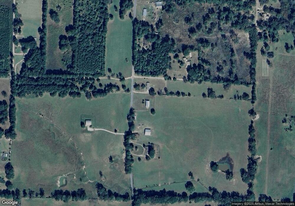
Map
Nearby Homes
- 108 Curtis Rd
- 16 Jackson Rd
- 82 Curtis Rd
- 390 Curtis Rd
- 72 Curtis Rd
- 52 Curtis Rd
- 4174 Central Rd
- 4161 U S 67
- 267 Rolling Hills Rd
- 3506 U S 67
- 107 Richwoods Rd
- 845 Stevenson Rd
- 602 Stevenson Rd
- 196 Stevenson Rd
- 1414 Ar-53 South Hwy
- TBD Hwy 67 S
- 77 Mcneely Rd
- 1440 Central Rd
- 0 Highway 53 Unit 24588554
- 705 N 9th St
- 104 Gin Rd
- 156 Gin Rd
- 56 Ricky Rd
- 66 Gin Rd
- 151 Gin Rd
- 42 Gin Rd
- 43 Billy Joe Rd
- 237 Curtis Rd
- 265 Curtis Rd
- 159 Curtis Rd
- 249 Curtis Rd
- 50 Billy Joe Rd
- 21 Gentle Rd
- 000 Curtis
- 80 NW Curtis
- 0 None Unit 20036816
- 0 Clark County Rd 76 Unit 20036680
- 0 Clark County Rd 76 Unit 20036679
- 0 Clark County Rd 76 Unit 20036677
- 0 Clark County Rd 76 Unit 20036676
Your Personal Tour Guide
Ask me questions while you tour the home.