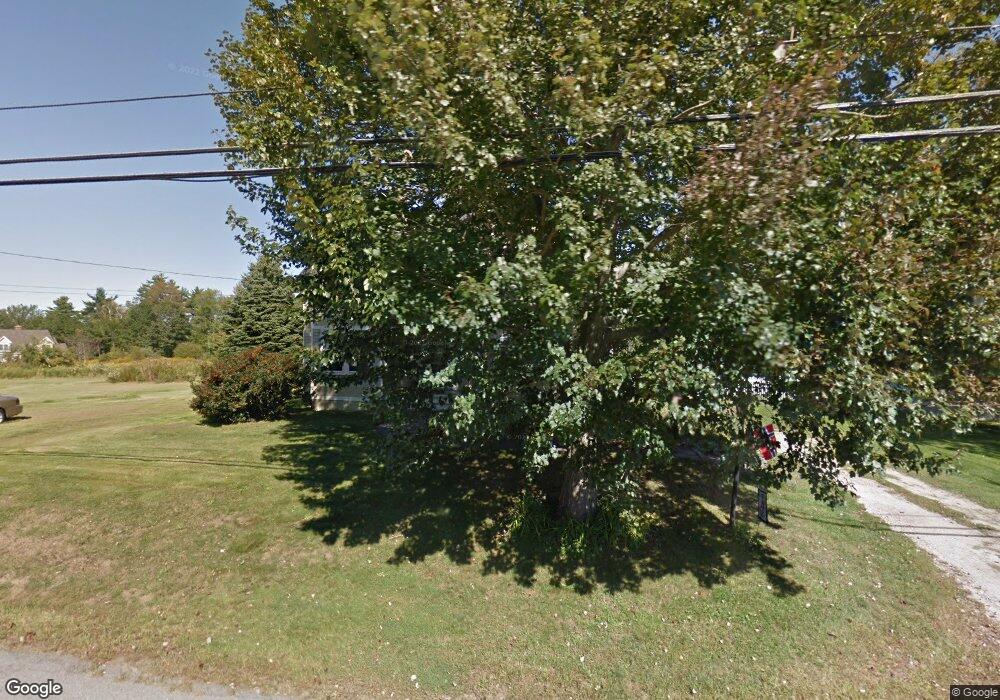
118 Hanscom Rd Eliot, ME 03903
East Eliot NeighborhoodEstimated Value: $498,847 - $748,000
4
Beds
2
Baths
1,856
Sq Ft
$338/Sq Ft
Est. Value
About This Home
This home is located at 118 Hanscom Rd, Eliot, ME 03903 and is currently estimated at $626,962, approximately $337 per square foot. 118 Hanscom Rd is a home located in York County with nearby schools including Marshwood High School and Seacoast Waldorf School.
Ownership History
Date
Name
Owned For
Owner Type
Purchase Details
Closed on
Dec 8, 2014
Sold by
Andersen Karen E
Bought by
Andersen Karen E and Foote Sara A
Current Estimated Value
Create a Home Valuation Report for This Property
The Home Valuation Report is an in-depth analysis detailing your home's value as well as a comparison with similar homes in the area
Home Values in the Area
Average Home Value in this Area
Purchase History
| Date | Buyer | Sale Price | Title Company |
|---|---|---|---|
| Andersen Karen E | -- | -- |
Source: Public Records
Tax History Compared to Growth
Tax History
| Year | Tax Paid | Tax Assessment Tax Assessment Total Assessment is a certain percentage of the fair market value that is determined by local assessors to be the total taxable value of land and additions on the property. | Land | Improvement |
|---|---|---|---|---|
| 2024 | $3,756 | $317,000 | $152,500 | $164,500 |
| 2023 | $3,628 | $296,200 | $146,100 | $150,100 |
| 2022 | $3,493 | $288,700 | $146,100 | $142,600 |
| 2021 | $3,695 | $273,700 | $135,500 | $138,200 |
| 2020 | $3,810 | $259,200 | $130,100 | $129,100 |
| 2019 | $3,810 | $259,200 | $130,100 | $129,100 |
| 2018 | $3,810 | $259,200 | $130,100 | $129,100 |
| 2017 | $3,707 | $259,200 | $130,100 | $129,100 |
| 2016 | $3,642 | $259,200 | $130,100 | $129,100 |
| 2015 | $3,692 | $263,700 | $130,100 | $133,600 |
| 2014 | $3,639 | $263,700 | $130,100 | $133,600 |
| 2013 | $3,473 | $263,700 | $130,100 | $133,600 |
Source: Public Records
Map
Nearby Homes
- 8 Caslyn Dr
- 46 Littlebrook Ln
- 35 Leach Rd
- 32 Regency Cir Unit 2
- 197 State Rd
- 850 Main St
- 493 Main St
- 956 Main St
- 5 Spinney Way Unit 9
- 18 Shipping Ln
- 100 Shepards Cove Rd Unit F204
- 100 Shepards Cove Rd Unit G204
- 7 Blackberry Place
- 287 Goodwin Rd
- 165 Rogers Rd
- 24 Regency Cir Unit 3
- 49 Betty Welch Rd
- 10 Lewis Rd
- 0 Franks Fort Island Unit 1631886
- 27 Oak Terrace