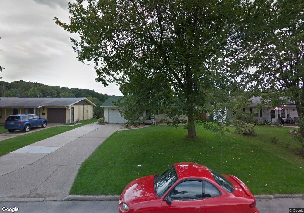
118 Harlan Dr Walbridge, OH 43465
Estimated Value: $159,000 - $188,901
3
Beds
1
Bath
1,414
Sq Ft
$122/Sq Ft
Est. Value
About This Home
This home is located at 118 Harlan Dr, Walbridge, OH 43465 and is currently estimated at $172,225, approximately $121 per square foot. 118 Harlan Dr is a home located in Wood County with nearby schools including Lake Elementary School, Lake Middle School, and Lake High School.
Ownership History
Date
Name
Owned For
Owner Type
Purchase Details
Closed on
Dec 27, 2018
Sold by
Orman Andrew J
Bought by
Luckey Kelly N and Orman Kelly N
Current Estimated Value
Purchase Details
Closed on
Apr 22, 2015
Sold by
Steep Ross D and Steep Steohaine R
Bought by
Orman Andrew J and Luckey Kelly N
Home Financials for this Owner
Home Financials are based on the most recent Mortgage that was taken out on this home.
Original Mortgage
$25,000
Interest Rate
3.77%
Mortgage Type
New Conventional
Purchase Details
Closed on
Mar 25, 2003
Sold by
Taylor Elva L and Taylor Elva Lou
Bought by
Steep Ross D and Armstrong Stephanie R
Home Financials for this Owner
Home Financials are based on the most recent Mortgage that was taken out on this home.
Original Mortgage
$98,500
Interest Rate
5.94%
Mortgage Type
Purchase Money Mortgage
Purchase Details
Closed on
Aug 27, 2002
Sold by
Estate Of Arthur A Taylor
Bought by
Taylor Elva L
Purchase Details
Closed on
Jan 1, 1990
Bought by
Taylor Arthur Allen
Create a Home Valuation Report for This Property
The Home Valuation Report is an in-depth analysis detailing your home's value as well as a comparison with similar homes in the area
Home Values in the Area
Average Home Value in this Area
Purchase History
| Date | Buyer | Sale Price | Title Company |
|---|---|---|---|
| Luckey Kelly N | -- | None Available | |
| Orman Andrew J | $91,000 | First American Title | |
| Steep Ross D | $98,500 | -- | |
| Taylor Elva L | -- | -- | |
| Taylor Arthur Allen | -- | -- |
Source: Public Records
Mortgage History
| Date | Status | Borrower | Loan Amount |
|---|---|---|---|
| Closed | Orman Andrew J | $25,000 | |
| Previous Owner | Steep Ross D | $98,500 |
Source: Public Records
Tax History Compared to Growth
Tax History
| Year | Tax Paid | Tax Assessment Tax Assessment Total Assessment is a certain percentage of the fair market value that is determined by local assessors to be the total taxable value of land and additions on the property. | Land | Improvement |
|---|---|---|---|---|
| 2024 | $1,943 | $43,890 | $8,680 | $35,210 |
| 2023 | $1,943 | $43,890 | $8,680 | $35,210 |
| 2021 | $1,766 | $33,990 | $8,120 | $25,870 |
| 2020 | $1,696 | $33,990 | $8,120 | $25,870 |
| 2019 | $1,596 | $28,740 | $8,120 | $20,620 |
| 2018 | $1,595 | $28,740 | $8,120 | $20,620 |
| 2017 | $1,579 | $28,740 | $8,120 | $20,620 |
| 2016 | $1,720 | $31,820 | $8,120 | $23,700 |
| 2015 | $1,720 | $31,820 | $8,120 | $23,700 |
| 2014 | -- | $31,820 | $8,120 | $23,700 |
| 2013 | $1,846 | $31,820 | $8,120 | $23,700 |
Source: Public Records
Map
Nearby Homes
- 315 Clayton St
- 104 Revere Rd
- 103 W Union St
- 225 E Union St
- 117 N Main St
- 119 N Main St
- 121 N Main St
- 112 Guy St
- 507 N Main St
- 215 Earl St
- 148 Meadowgate
- 148 Meadowgate Dr
- 30643 Drouillard Rd
- 242 S Bridge Rd
- 241 S Bridge Rd
- 237 S Bridge Rd
- 238 S Bridge Rd
- 236 S Bridge Rd
- 232 S Bridge Rd
- 224 S Bridge Rd