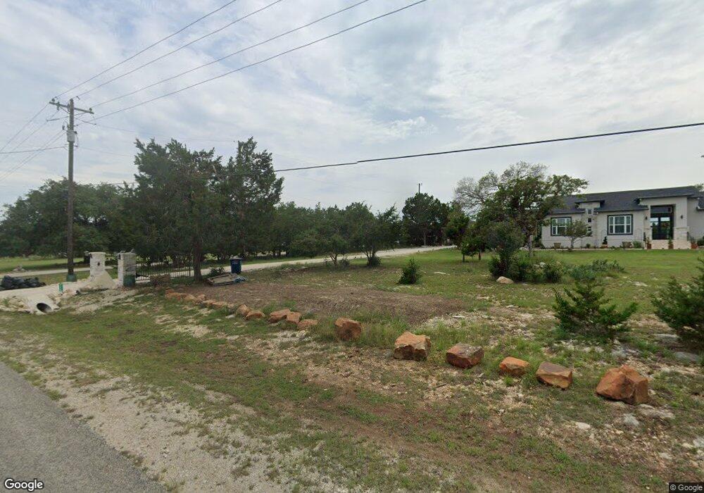
118 High Point Cir Spring Branch, TX 78070
Estimated Value: $611,000 - $703,000
3
Beds
3
Baths
2,653
Sq Ft
$243/Sq Ft
Est. Value
About This Home
This home is located at 118 High Point Cir, Spring Branch, TX 78070 and is currently estimated at $645,467, approximately $243 per square foot. 118 High Point Cir is a home located in Comal County with nearby schools including Rebecca Creek Elementary School, Mt Valley Middle School, and Canyon Lake High School.
Ownership History
Date
Name
Owned For
Owner Type
Purchase Details
Closed on
Apr 14, 2017
Sold by
Rodriguez Jose
Bought by
Galvan Daniel and Galvan Tracie
Current Estimated Value
Home Financials for this Owner
Home Financials are based on the most recent Mortgage that was taken out on this home.
Original Mortgage
$316,350
Outstanding Balance
$263,395
Interest Rate
4.23%
Mortgage Type
New Conventional
Estimated Equity
$382,072
Purchase Details
Closed on
Apr 30, 2010
Sold by
Rodriguez Juanita
Bought by
Rodriguez Jose
Home Financials for this Owner
Home Financials are based on the most recent Mortgage that was taken out on this home.
Original Mortgage
$249,000
Interest Rate
5.02%
Mortgage Type
Assumption
Purchase Details
Closed on
Sep 6, 2005
Sold by
Bluegreen Southwest One Lp
Bought by
Rodriguez Jose and Rodriguez Juanita J
Create a Home Valuation Report for This Property
The Home Valuation Report is an in-depth analysis detailing your home's value as well as a comparison with similar homes in the area
Home Values in the Area
Average Home Value in this Area
Purchase History
| Date | Buyer | Sale Price | Title Company |
|---|---|---|---|
| Galvan Daniel | -- | None Available | |
| Rodriguez Jose | -- | None Available | |
| Rodriguez Jose | -- | New Braunfels Title Company |
Source: Public Records
Mortgage History
| Date | Status | Borrower | Loan Amount |
|---|---|---|---|
| Open | Galvan Daniel | $316,350 | |
| Previous Owner | Rodriguez Jose | $249,000 |
Source: Public Records
Tax History
| Year | Tax Paid | Tax Assessment Tax Assessment Total Assessment is a certain percentage of the fair market value that is determined by local assessors to be the total taxable value of land and additions on the property. | Land | Improvement |
|---|---|---|---|---|
| 2025 | $5,495 | $613,492 | -- | -- |
| 2024 | $5,495 | $557,720 | -- | -- |
| 2023 | $5,495 | $507,018 | -- | -- |
| 2022 | $5,426 | $460,925 | -- | -- |
| 2021 | $7,464 | $420,250 | $42,000 | $378,250 |
| 2020 | $7,058 | $380,930 | $35,700 | $345,230 |
| 2019 | $7,078 | $372,920 | $29,400 | $343,520 |
| 2018 | $6,548 | $345,890 | $29,400 | $316,490 |
| 2017 | $6,551 | $348,810 | $24,000 | $324,810 |
| 2016 | $6,270 | $333,870 | $20,000 | $313,870 |
| 2015 | $4,753 | $345,970 | $20,000 | $325,970 |
| 2014 | $4,753 | $327,530 | $20,000 | $307,530 |
Source: Public Records
Map
Nearby Homes
- 1620 Point View
- 339 Granite Rd
- 5546 Tanglewood Trail
- 216 Granite Rd
- 184 Granite Rd
- 661 Jonquil Dr
- 1652 Bob White Dr
- 645 Jonquil Dr
- 220 Toucan Dr
- 119 Rockingshire Ct
- 1107 Highpoint Ln
- 1266 Highpoint Ln
- 6118 Tanglewood Trail
- 6136 Tanglewood Trail
- 952 Rimrock Cove
- 1556 Rimrock Cove
- 1456 Green Meadow Ln
- 1366 Mystic Shores Blvd
- 237 Toucan Dr
- 1416 Green Meadow Ln
- 114 High Point Cir
- 114 High Point Cir Unit 10
- 114 High Point Cir
- 122 High Point Cir
- 1616 Rimrock Cove
- 1640 Rimrock Cove
- 1604 Rimrock Cove
- 1652 Rimrock Cove
- 123 High Point Cir
- 110 High Point Cir
- 126 High Point Cir
- 1592 Rimrock Cove
- 1491 Live Oak Dr
- 115 High Point Cir
- 1555 Rimrock Cove
- 1470 Live Oak Dr
- 111 High Point Cir
- 1481 Live Oak Dr
- 1580 Rimrock Cove
- 130 High Point Cir
Your Personal Tour Guide
Ask me questions while you tour the home.