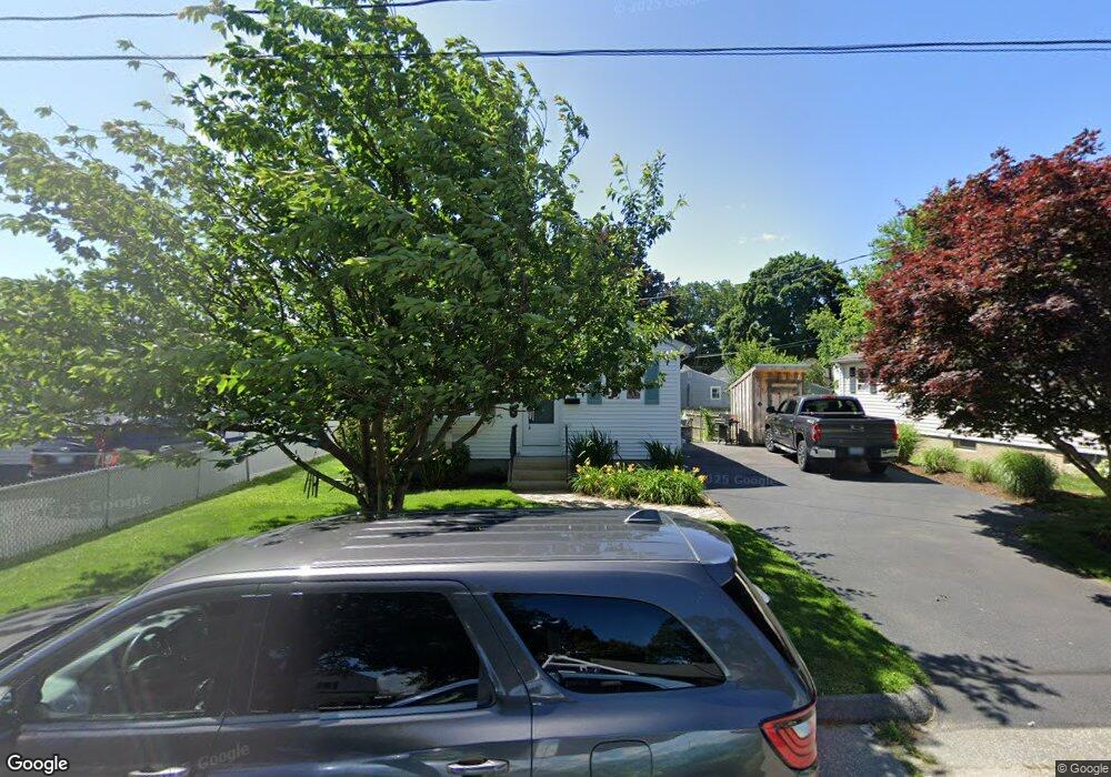
118 Hobson Ave Pawtucket, RI 02860
Fairlawn NeighborhoodEstimated Value: $376,000 - $413,000
3
Beds
1
Bath
1,092
Sq Ft
$364/Sq Ft
Est. Value
About This Home
This home is located at 118 Hobson Ave, Pawtucket, RI 02860 and is currently estimated at $397,703, approximately $364 per square foot. 118 Hobson Ave is a home located in Providence County with nearby schools including Blackstone Valley Prep Upper Elementary School, The San Miguel School, and Bishop Keough Regional High School.
Ownership History
Date
Name
Owned For
Owner Type
Purchase Details
Closed on
Aug 30, 1991
Sold by
Beretta Norman R
Bought by
Clavet Andrew L
Current Estimated Value
Create a Home Valuation Report for This Property
The Home Valuation Report is an in-depth analysis detailing your home's value as well as a comparison with similar homes in the area
Home Values in the Area
Average Home Value in this Area
Purchase History
| Date | Buyer | Sale Price | Title Company |
|---|---|---|---|
| Clavet Andrew L | $101,000 | -- |
Source: Public Records
Mortgage History
| Date | Status | Borrower | Loan Amount |
|---|---|---|---|
| Open | Clavet Andrew L | $121,000 | |
| Closed | Clavet Andrew L | $50,000 | |
| Closed | Clavet Andrew L | $125,000 | |
| Closed | Clavet Andrew L | $30,000 |
Source: Public Records
Tax History Compared to Growth
Tax History
| Year | Tax Paid | Tax Assessment Tax Assessment Total Assessment is a certain percentage of the fair market value that is determined by local assessors to be the total taxable value of land and additions on the property. | Land | Improvement |
|---|---|---|---|---|
| 2025 | $4,234 | $322,000 | $129,300 | $192,700 |
| 2024 | $3,973 | $322,000 | $129,300 | $192,700 |
| 2023 | $3,837 | $226,500 | $70,400 | $156,100 |
| 2022 | $3,755 | $226,500 | $70,400 | $156,100 |
| 2021 | $3,755 | $226,500 | $70,400 | $156,100 |
| 2020 | $3,775 | $180,700 | $65,000 | $115,700 |
| 2019 | $3,775 | $180,700 | $65,000 | $115,700 |
| 2018 | $3,637 | $180,700 | $65,000 | $115,700 |
| 2017 | $3,599 | $158,400 | $59,800 | $98,600 |
| 2016 | $3,467 | $158,400 | $59,800 | $98,600 |
| 2015 | $3,467 | $158,400 | $59,800 | $98,600 |
| 2014 | $3,353 | $145,400 | $59,800 | $85,600 |
Source: Public Records
Map
Nearby Homes
- 132 Hobson Ave
- 424 Smithfield Ave Unit 1
- 422 Smithfield Ave Unit 1
- 27 Stedman Ave
- 149 Oakdale Ave
- 458 Smithfield Ave
- 102 Francis Ave
- 53 Francis Ave
- 220 Francis Ave
- 136 Samuel Ave
- 121 Samuel Ave
- 0 Martha St
- 1 Oliver St
- 16 Rufus St
- 2 Cobble Hill Rd
- 192 Terrace Ave
- 10 Windmill St
- 36 Cooper St
- 15 Bassett St
- 584 Weeden St