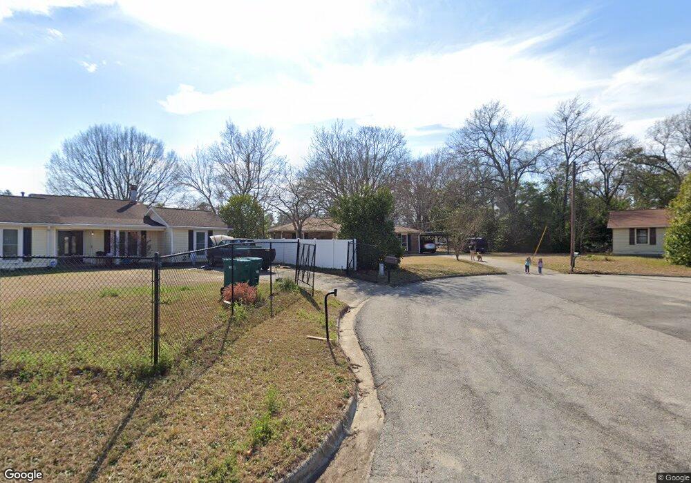
118 Hollingsworth Dr Grovetown, GA 30813
Estimated Value: $173,000 - $255,000
3
Beds
2
Baths
1,350
Sq Ft
$161/Sq Ft
Est. Value
About This Home
This home is located at 118 Hollingsworth Dr, Grovetown, GA 30813 and is currently estimated at $217,998, approximately $161 per square foot. 118 Hollingsworth Dr is a home located in Columbia County with nearby schools including Grovetown Elementary School, Grovetown Middle School, and Grovetown High School.
Ownership History
Date
Name
Owned For
Owner Type
Purchase Details
Closed on
Mar 11, 2002
Sold by
Atlantic Mtg & Investment Corp
Bought by
Shockley Charles K
Current Estimated Value
Home Financials for this Owner
Home Financials are based on the most recent Mortgage that was taken out on this home.
Original Mortgage
$56,000
Outstanding Balance
$23,024
Interest Rate
6.98%
Estimated Equity
$194,974
Create a Home Valuation Report for This Property
The Home Valuation Report is an in-depth analysis detailing your home's value as well as a comparison with similar homes in the area
Home Values in the Area
Average Home Value in this Area
Purchase History
| Date | Buyer | Sale Price | Title Company |
|---|---|---|---|
| Shockley Charles K | $63,000 | -- |
Source: Public Records
Mortgage History
| Date | Status | Borrower | Loan Amount |
|---|---|---|---|
| Open | Shockley Charles K | $56,000 |
Source: Public Records
Tax History Compared to Growth
Tax History
| Year | Tax Paid | Tax Assessment Tax Assessment Total Assessment is a certain percentage of the fair market value that is determined by local assessors to be the total taxable value of land and additions on the property. | Land | Improvement |
|---|---|---|---|---|
| 2025 | $2,036 | $72,720 | $15,104 | $57,616 |
| 2024 | $2,225 | $75,416 | $15,104 | $60,312 |
| 2023 | $2,225 | $60,478 | $11,404 | $49,074 |
| 2022 | $1,805 | $58,591 | $12,004 | $46,587 |
| 2021 | $1,475 | $45,841 | $11,604 | $34,237 |
| 2020 | $1,487 | $45,402 | $11,604 | $33,798 |
| 2019 | $1,353 | $40,908 | $9,004 | $31,904 |
| 2018 | $1,333 | $39,661 | $8,504 | $31,157 |
| 2017 | $1,279 | $39,222 | $8,304 | $30,918 |
| 2016 | $1,143 | $35,988 | $6,780 | $29,208 |
| 2015 | $1,220 | $38,242 | $9,780 | $28,462 |
| 2014 | $1,161 | $36,005 | $9,780 | $26,225 |
Source: Public Records
Map
Nearby Homes
- 100 Buck Ave
- 321 Railroad Ave
- 4917 Cavan Place
- 0 E Robinson Ave
- 201 Williams St
- 132 Summerfield Cir
- 1100 Durban Dr
- 4907 Selkirk Way
- 125 Redford Dr
- 406 Williams St
- 607 Beretta Dr
- 106 Walton Dr
- 102 Walton Dr
- 104 Bennett St
- 106 Bennett St
- 100 Walton Dr
- 116 Bennett St
- 118 Bennett St
- 636 Butler Springs Cir
- 213 Vfw Rd
- 120 Hollingsworth Dr
- 116 Hollingsworth Dr
- 213 Hayne Dr
- 104 Buck Ave
- 106 Buck Ave
- 211 Hayne Dr
- 215 Hayne Dr
- 102 Buck Ave
- 209 Hayne Dr
- 114 Hollingsworth Dr
- 217 Hayne Dr
- 0 Buck Ave Unit 7576343
- 0 Buck Ave
- 107 Hollingsworth Dr
- 112 Hollingsworth Dr
- 207 Hayne Dr
- 109 Hollingsworth Dr
- 111 Hollingsworth Dr
- 113 Hollingsworth Dr
- 205 Hayne Dr