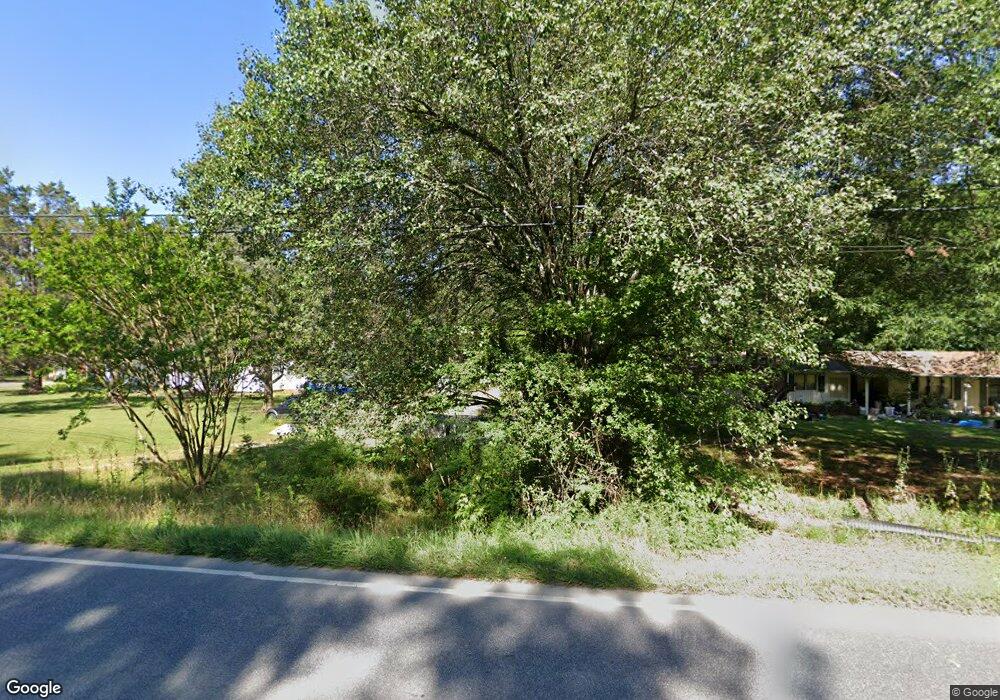
118 Horneytown Rd High Point, NC 27265
Horneytown NeighborhoodEstimated Value: $22,154 - $351,000
3
Beds
1
Bath
868
Sq Ft
$277/Sq Ft
Est. Value
About This Home
This home is located at 118 Horneytown Rd, High Point, NC 27265 and is currently estimated at $240,789, approximately $277 per square foot. 118 Horneytown Rd is a home located in Forsyth County with nearby schools including Union Cross Elementary School, Southeast Middle School, and R.B. Glenn High School.
Ownership History
Date
Name
Owned For
Owner Type
Purchase Details
Closed on
Oct 12, 2021
Sold by
Long Martha
Bought by
Rodriguez Hipolito Rios
Current Estimated Value
Purchase Details
Closed on
Jan 8, 2016
Sold by
Davis George Keith and Davis Kathy Smith
Bought by
Long Martha
Purchase Details
Closed on
May 28, 1998
Sold by
Ripple Evelyn G and Dona Nancy R
Bought by
Davis Mary Harris
Home Financials for this Owner
Home Financials are based on the most recent Mortgage that was taken out on this home.
Original Mortgage
$24,000
Interest Rate
6.8%
Mortgage Type
Seller Take Back
Create a Home Valuation Report for This Property
The Home Valuation Report is an in-depth analysis detailing your home's value as well as a comparison with similar homes in the area
Home Values in the Area
Average Home Value in this Area
Purchase History
| Date | Buyer | Sale Price | Title Company |
|---|---|---|---|
| Rodriguez Hipolito Rios | $18,000 | Lion Title Insurance | |
| Long Martha | $15,000 | None Available | |
| Davis Mary Harris | $28,000 | -- |
Source: Public Records
Mortgage History
| Date | Status | Borrower | Loan Amount |
|---|---|---|---|
| Previous Owner | Davis Mary Harris | $24,000 |
Source: Public Records
Tax History Compared to Growth
Tax History
| Year | Tax Paid | Tax Assessment Tax Assessment Total Assessment is a certain percentage of the fair market value that is determined by local assessors to be the total taxable value of land and additions on the property. | Land | Improvement |
|---|---|---|---|---|
| 2025 | $112 | $16,200 | $16,200 | -- |
| 2024 | $112 | $13,500 | $13,500 | -- |
| 2023 | $112 | $13,500 | $13,500 | -- |
| 2022 | $159 | $19,100 | $18,000 | $1,100 |
| 2021 | $159 | $19,100 | $18,000 | $1,100 |
| 2020 | $133 | $14,800 | $11,900 | $2,900 |
| 2019 | $135 | $14,800 | $11,900 | $2,900 |
| 2018 | $127 | $14,800 | $11,900 | $2,900 |
| 2016 | $272 | $32,355 | $11,520 | $20,835 |
| 2015 | $272 | $32,355 | $11,520 | $20,835 |
| 2014 | -- | $32,355 | $11,520 | $20,835 |
Source: Public Records
Map
Nearby Homes
- 200 Cedarwood Trail
- 6714 Planters Dr
- 397 Curry Rd
- 4038 Monteray Cir
- 773 Spinning Wheel Point
- 761 Spinning Wheel Point
- 452 Dunwood Dr
- 903 Jennifer Ln
- 6410 Hedgewood Ln
- 214 Rockwood Ln
- 1478 Curry Rd
- 2740 Wiley Farm Rd
- 3419 Willowcrest St
- 1016 Tesh Ct
- 6112 Hedgecock Cir Unit 3B
- 6118 Hedgecock Cir Unit 1A
- 737 Joyce Cir
- 3910 Angel Hill Ln
- 1475 Curry Rd
- 2477 Pine Meadow Dr
- 132 Emily St
- 165 Christene St
- 135 Emily St
- 122 Horneytown Rd
- 200 Ken Dan St
- 7775 Horneytown Ct
- 134 Horneytown Rd
- 128 Horneytown Rd
- 159 Christene St
- 290 Ken Dan St
- 7610 Horneytown Ct
- 147 Christene St
- 120 Horneytown Rd
- 127 Horneytown Rd
- 123 Horneytown Rd
- 116 Horneytown Rd
- 131 Horneytown Rd
- 291 Ken Dan St
- 117 Horneytown Rd
- 137 Horneytown Rd
