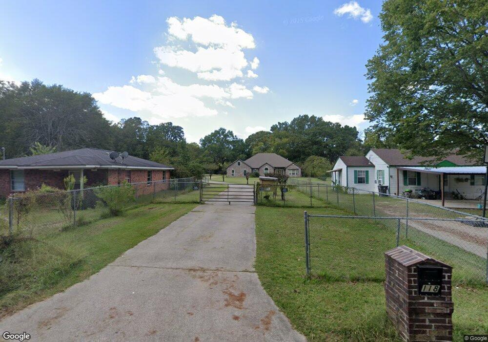
118 Hubbard St Lufkin, TX 75901
Estimated Value: $299,000 - $332,000
--
Bed
1
Bath
2,333
Sq Ft
$134/Sq Ft
Est. Value
About This Home
This home is located at 118 Hubbard St, Lufkin, TX 75901 and is currently estimated at $313,545, approximately $134 per square foot. 118 Hubbard St is a home with nearby schools including Kurth Primary School, Anderson Elementary School, and Lufkin Middle School.
Create a Home Valuation Report for This Property
The Home Valuation Report is an in-depth analysis detailing your home's value as well as a comparison with similar homes in the area
Home Values in the Area
Average Home Value in this Area
Tax History Compared to Growth
Tax History
| Year | Tax Paid | Tax Assessment Tax Assessment Total Assessment is a certain percentage of the fair market value that is determined by local assessors to be the total taxable value of land and additions on the property. | Land | Improvement |
|---|---|---|---|---|
| 2025 | $6,393 | $305,900 | $29,590 | $276,310 |
| 2024 | $6,315 | $302,170 | $29,590 | $272,580 |
| 2023 | $5,513 | $300,630 | $29,590 | $271,040 |
| 2022 | $5,745 | $258,660 | $10,070 | $248,590 |
| 2021 | $5,648 | $238,650 | $10,070 | $228,580 |
| 2020 | $5,122 | $208,440 | $10,070 | $198,370 |
| 2019 | $5,590 | $215,050 | $10,070 | $204,980 |
| 2018 | $4,589 | $213,560 | $10,070 | $203,490 |
| 2017 | $4,589 | $205,200 | $10,070 | $195,130 |
| 2016 | $4,818 | $202,100 | $10,070 | $192,030 |
| 2015 | $236 | $202,100 | $10,070 | $192,030 |
| 2014 | $236 | $200,650 | $10,070 | $190,580 |
Source: Public Records
Map
Nearby Homes
- 2401 Paul Ave
- 4344 N Highway 69
- R22597 N Highway 69
- TBD N Highway 69
- 0 N Highway 69
- 2549 N Highway 69
- 1603 Atkinson Dr
- 2105 Paul Ave
- 1902 Pine Burr St
- 2000 Paul Ave
- 108 Home Ave
- 505 Brasell St
- 2515 Atkinson Dr Unit 26012611
- 206 Shady Pine St
- 1911 Paul Ave
- 2114 E Lufkin Ave
- 916 Circle Dr
- 417 Stark St
- 1618 Paul Ave
- 410 S Medford Dr