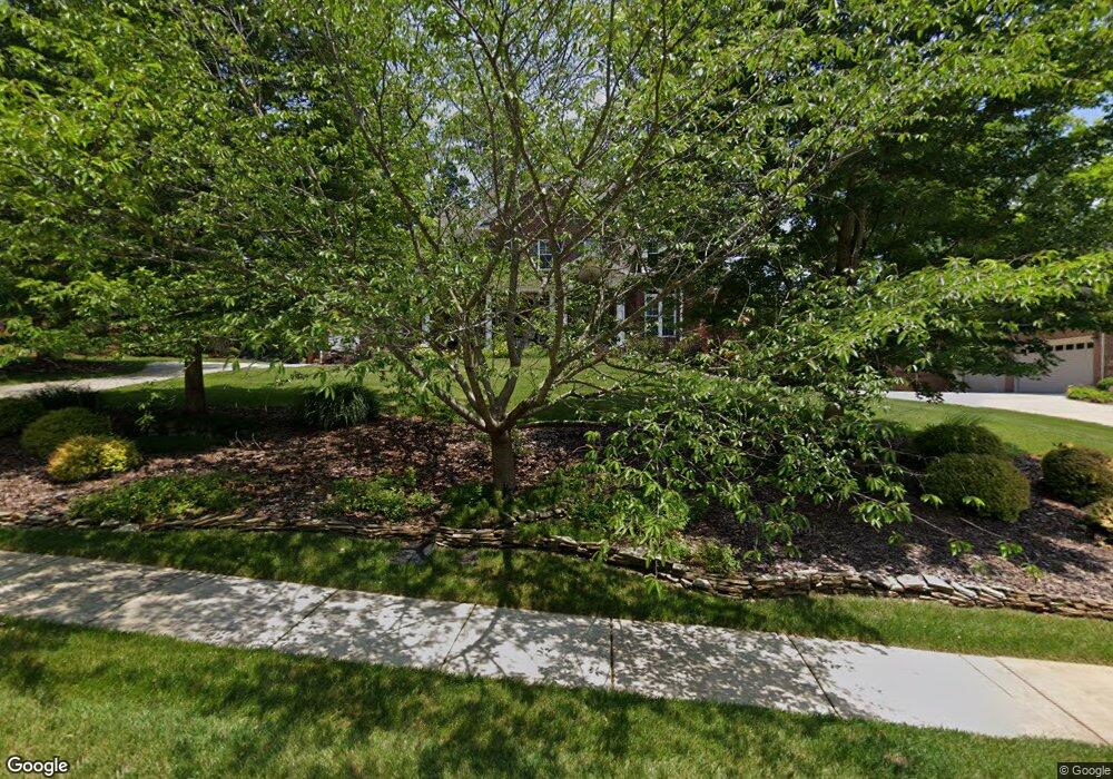
118 Kingsbridge Rd Salisbury, NC 28144
Estimated Value: $633,840 - $820,000
4
Beds
4
Baths
3,865
Sq Ft
$183/Sq Ft
Est. Value
About This Home
This home is located at 118 Kingsbridge Rd, Salisbury, NC 28144 and is currently estimated at $708,210, approximately $183 per square foot. 118 Kingsbridge Rd is a home located in Rowan County with nearby schools including Carroll T Overton Elementary School, Knox Middle School, and North Rowan Middle School.
Ownership History
Date
Name
Owned For
Owner Type
Purchase Details
Closed on
Mar 1, 2011
Sold by
Fraley James R and Ball Carole T
Bought by
Stevens Julian A and Stevens Kimberly S
Current Estimated Value
Home Financials for this Owner
Home Financials are based on the most recent Mortgage that was taken out on this home.
Original Mortgage
$288,000
Interest Rate
4.75%
Mortgage Type
New Conventional
Purchase Details
Closed on
Aug 29, 2006
Sold by
Belle Realty Development Co
Bought by
Ball James R and Ball Carole T
Create a Home Valuation Report for This Property
The Home Valuation Report is an in-depth analysis detailing your home's value as well as a comparison with similar homes in the area
Home Values in the Area
Average Home Value in this Area
Purchase History
| Date | Buyer | Sale Price | Title Company |
|---|---|---|---|
| Stevens Julian A | $360,000 | None Available | |
| Ball James R | $56,000 | Chicago Title Insurance Co |
Source: Public Records
Mortgage History
| Date | Status | Borrower | Loan Amount |
|---|---|---|---|
| Previous Owner | Stevens Julian A | $288,000 |
Source: Public Records
Tax History Compared to Growth
Tax History
| Year | Tax Paid | Tax Assessment Tax Assessment Total Assessment is a certain percentage of the fair market value that is determined by local assessors to be the total taxable value of land and additions on the property. | Land | Improvement |
|---|---|---|---|---|
| 2025 | $7,026 | $587,469 | $42,500 | $544,969 |
| 2024 | $7,026 | $587,469 | $42,500 | $544,969 |
| 2023 | $6,904 | $577,226 | $42,500 | $534,726 |
| 2022 | $5,629 | $408,790 | $35,000 | $373,790 |
| 2021 | $5,629 | $408,790 | $35,000 | $373,790 |
| 2020 | $5,629 | $408,790 | $35,000 | $373,790 |
| 2019 | $5,629 | $408,790 | $35,000 | $373,790 |
| 2018 | $4,966 | $365,522 | $35,000 | $330,522 |
| 2017 | $4,940 | $365,522 | $35,000 | $330,522 |
| 2016 | $4,805 | $365,522 | $35,000 | $330,522 |
| 2015 | $4,834 | $365,522 | $35,000 | $330,522 |
| 2014 | $5,469 | $418,506 | $64,000 | $354,506 |
Source: Public Records
Map
Nearby Homes
- 309 Rugby Rd
- 305 Rugby Rd
- 301 Rugby Rd
- 313 Rugby Rd
- 209 Rugby Rd
- 407 Rugby Rd
- 413 Rugby Rd
- 417 Rugby Rd
- 109 Lancaster Ct
- 408 Camelot Dr
- 330 Camelot Dr
- 1095 Morehead Dr
- 1105 Morehead Dr
- Cottonwood Plan at Oxford Station
- Sherwood Plan at Oxford Station
- Manchester Plan at Oxford Station
- Gibson Plan at Oxford Station
- Buchanan Plan at Oxford Station
- Chandler Plan at Oxford Station
- Dakota Plan at Oxford Station
- 114 Kingsbridge Rd
- 122 Kingsbridge Rd
- 113 Churchill Dr
- 113 Kingsbridge Rd
- 109 Churchill Dr
- 110 Kingsbridge Rd
- 117 Churchill Dr
- 109 Kingsbridge Rd
- 306 Rugby Rd
- 314 Rugby Rd
- 314 Rugby Rd Unit NULL
- 105 Kingsbridge Rd
- 402 Rugby Rd Unit 280
- 121 Churchill Dr
- 106 Kingsbridge Rd
- 302 Rugby Rd
- 406 Rugby Rd
- 207, 211 Kingsbridge Rd
- 135 Churchill Dr
- 102 Kingsbridge Rd