118 Lands Dr NE Milledgeville, GA 31061
Estimated Value: $516,288 - $751,000
--
Bed
--
Bath
1,952
Sq Ft
$320/Sq Ft
Est. Value
About This Home
This home is located at 118 Lands Dr NE, Milledgeville, GA 31061 and is currently estimated at $624,572, approximately $319 per square foot. 118 Lands Dr NE is a home located in Baldwin County with nearby schools including Lakeview Primary, Lakeview Academy, and Oak Hill Middle School.
Ownership History
Date
Name
Owned For
Owner Type
Purchase Details
Closed on
Sep 18, 2008
Sold by
Pratt Robert D
Bought by
Morris Robert B and Morris Elizabeth S
Current Estimated Value
Home Financials for this Owner
Home Financials are based on the most recent Mortgage that was taken out on this home.
Original Mortgage
$333,900
Outstanding Balance
$221,345
Interest Rate
6.45%
Mortgage Type
New Conventional
Estimated Equity
$403,227
Purchase Details
Closed on
Nov 21, 2003
Sold by
Rice Jeannine T
Bought by
Pratt Robert D and Pratt Sally A
Purchase Details
Closed on
May 26, 1998
Sold by
Jones
Bought by
Rice Jeannine T
Purchase Details
Closed on
Nov 19, 1993
Bought by
Jones
Create a Home Valuation Report for This Property
The Home Valuation Report is an in-depth analysis detailing your home's value as well as a comparison with similar homes in the area
Home Values in the Area
Average Home Value in this Area
Purchase History
| Date | Buyer | Sale Price | Title Company |
|---|---|---|---|
| Morris Robert B | $371,000 | -- | |
| Pratt Robert D | $210,000 | -- | |
| Rice Jeannine T | -- | -- | |
| Jones | $130,500 | -- |
Source: Public Records
Mortgage History
| Date | Status | Borrower | Loan Amount |
|---|---|---|---|
| Open | Morris Robert B | $333,900 |
Source: Public Records
Tax History Compared to Growth
Tax History
| Year | Tax Paid | Tax Assessment Tax Assessment Total Assessment is a certain percentage of the fair market value that is determined by local assessors to be the total taxable value of land and additions on the property. | Land | Improvement |
|---|---|---|---|---|
| 2025 | $4,003 | $164,252 | $68,412 | $95,840 |
| 2024 | $4,003 | $164,252 | $68,412 | $95,840 |
| 2023 | $3,212 | $131,792 | $57,008 | $74,784 |
| 2022 | $3,256 | $132,564 | $57,008 | $75,556 |
| 2021 | $2,999 | $115,320 | $56,840 | $58,480 |
| 2020 | $2,958 | $115,320 | $56,840 | $58,480 |
| 2019 | $2,963 | $115,320 | $56,840 | $58,480 |
| 2018 | $2,974 | $115,320 | $56,840 | $58,480 |
| 2017 | $2,941 | $115,320 | $56,840 | $58,480 |
| 2016 | $3,273 | $121,636 | $53,760 | $67,876 |
| 2015 | $3,256 | $121,636 | $53,760 | $67,876 |
| 2014 | $3,284 | $121,636 | $53,760 | $67,876 |
Source: Public Records
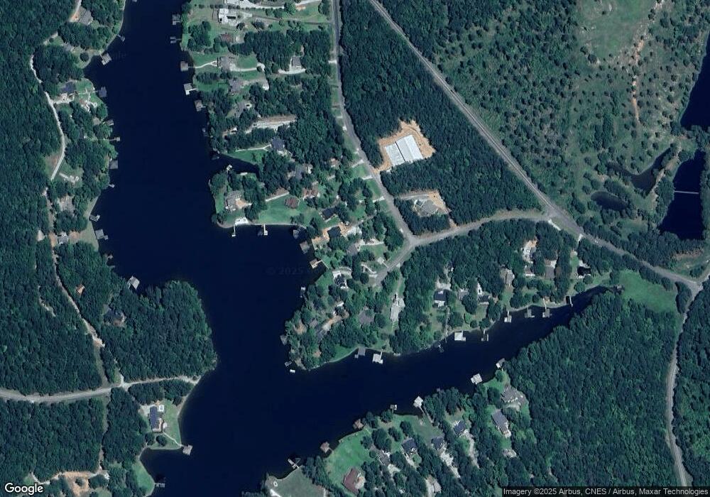
Map
Nearby Homes
- 81 Mariners Dr NE
- 99 Mariners Dr NE
- 117 Island Dr NE
- 116 Island Dr NE
- 0 Carrs Station Rd Unit 1024751
- 0 Carrs Station Rd Unit 10489504
- 0 Carrs Station Rd Unit 68233
- 134 Rocky Creek Ct NE
- 109 Falls Ln NE
- 147 Falls Ln NE
- 320 Whispering Ridge NE
- 320 Whispering Ridge NE Unit 320 Whispering Ridge
- 200 Whispering Ridge NE Unit LOT 10
- 227 Whispering Ridge NE
- 210 Whispering Ridge NE
- 124 Gumm Cemetery Rd NE
- 104 Gumm Cemetery Rd NE
- 199 Falls Ln NE
- 401 White Oak Cove NE
- 405 White Oak Cove NE
- 120 Lands Dr NE
- 101 Lands Ct NE
- 101 Lands Ct NE Unit 12
- 122 Lands Dr NE
- 106 Lands Ct NE
- 102 Lands Ct NE
- 100 Lands Ct NE
- 105 Lands Dr Unit N/S
- 105 Lands Dr
- 124 Lands Dr NE
- 114 Lands Dr NE
- 104 Lands Ct NE
- 128 Lands Dr NE
- 120 Gary Dr NE
- 120 Gary Dr NE Unit 12
- 122 Gary Dr NE
- 112 Lands Dr NE Unit 5
- 112 Lands Dr NE
- 130 Lands Dr NE
- 126 Lands Dr NE