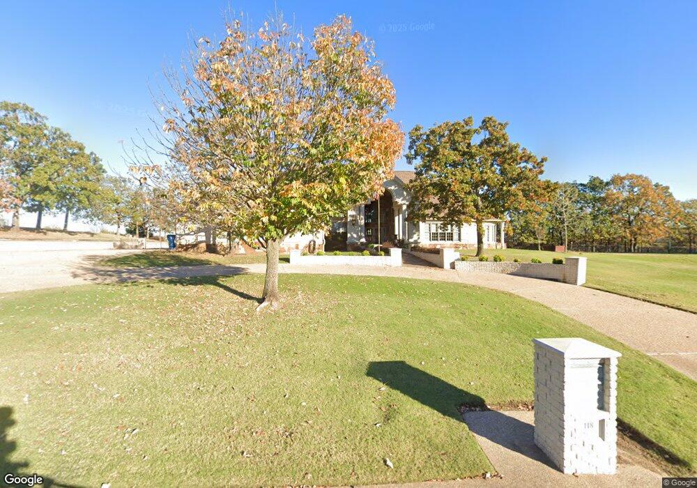
118 Liberty Cir McAlester, OK 74501
Estimated Value: $677,000 - $986,000
3
Beds
5
Baths
6,098
Sq Ft
$138/Sq Ft
Est. Value
About This Home
This home is located at 118 Liberty Cir, McAlester, OK 74501 and is currently estimated at $841,226, approximately $137 per square foot. 118 Liberty Cir is a home located in Pittsburg County with nearby schools including Krebs Public School and Mcalester Christian Academy.
Ownership History
Date
Name
Owned For
Owner Type
Purchase Details
Closed on
Dec 29, 2014
Sold by
Hopper Mark and Hopper Debbie
Bought by
Halyard Donna and Halyard Kyle
Current Estimated Value
Home Financials for this Owner
Home Financials are based on the most recent Mortgage that was taken out on this home.
Original Mortgage
$145,000
Outstanding Balance
$111,594
Interest Rate
3.97%
Mortgage Type
New Conventional
Estimated Equity
$729,632
Purchase Details
Closed on
Nov 6, 2002
Sold by
Peaceable Village Inc
Bought by
Hopper Mark
Create a Home Valuation Report for This Property
The Home Valuation Report is an in-depth analysis detailing your home's value as well as a comparison with similar homes in the area
Home Values in the Area
Average Home Value in this Area
Purchase History
| Date | Buyer | Sale Price | Title Company |
|---|---|---|---|
| Halyard Donna | $145,000 | None Available | |
| Hopper Mark | $26,500 | -- |
Source: Public Records
Mortgage History
| Date | Status | Borrower | Loan Amount |
|---|---|---|---|
| Open | Halyard Donna | $145,000 |
Source: Public Records
Tax History Compared to Growth
Tax History
| Year | Tax Paid | Tax Assessment Tax Assessment Total Assessment is a certain percentage of the fair market value that is determined by local assessors to be the total taxable value of land and additions on the property. | Land | Improvement |
|---|---|---|---|---|
| 2024 | $7,306 | $87,108 | $3,740 | $83,368 |
| 2023 | $7,157 | $84,571 | $3,740 | $80,831 |
| 2022 | $7,226 | $84,571 | $3,740 | $80,831 |
| 2021 | $7,239 | $84,571 | $3,740 | $80,831 |
| 2020 | $7,272 | $84,571 | $3,740 | $80,831 |
| 2019 | $7,192 | $84,991 | $3,740 | $81,251 |
| 2018 | $6,836 | $79,382 | $3,342 | $76,040 |
| 2017 | $6,619 | $75,603 | $3,183 | $72,420 |
| 2016 | $6,351 | $72,002 | $3,031 | $68,971 |
| 2015 | $5,114 | $68,574 | $3,025 | $65,549 |
| 2014 | $5,114 | $68,574 | $3,025 | $65,549 |
Source: Public Records
Map
Nearby Homes
- 902 Village Blvd
- 30 Georgetown Cir
- 108 Stubbs Ln
- 16 Kinkead Rd
- 713 Kinkead Rd
- 260 W Buttermilk Rd
- 813 Kinkead Rd
- 910 Summit Ridge
- 525 SW 3rd St
- 5 Karen Ct
- 345 SW 4th St
- 0 N Highway 69 Unit 2522963
- 1406 Country Club Rd
- 00 N Highway 69
- 510 W Jackson Ave
- 0 Silva Unit 2439216
- 1014 Newton Dr
- 381 Ridge Ln
- 0 Torrey Pines Ct
- 1411 Timber Ln
- 118 Liberty Cir
- 120 Liberty Cir
- 114 Liberty Cir
- 115 Liberty Cir
- 124 Liberty Cir
- 100 Liberty Cir
- 121 Liberty Cir
- 102 Liberty Cir
- 145 Liberty Cir
- 110 Liberty Cir
- 108 Liberty Cir
- 0 Liberty Cir Unit 1550439
- 0 Liberty Cir Unit 1609662
- 0 Liberty Cir Unit 1632717
- 0 Liberty Cir Unit 1710787
- 0 Liberty Cir Unit 1711055
- 0 Liberty Cir Unit 1732590
- 0 Liberty Cir Unit 1832291
- 0 Liberty Cir Unit 1832518
- 0 Liberty Cir Unit 1908209