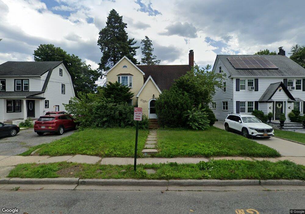
118 Macdonald St Hempstead, NY 11550
Estimated Value: $610,246 - $673,000
Studio
1
Bath
1,458
Sq Ft
$440/Sq Ft
Est. Value
About This Home
This home is located at 118 Macdonald St, Hempstead, NY 11550 and is currently estimated at $641,623, approximately $440 per square foot. 118 Macdonald St is a home located in Nassau County with nearby schools including St Martin De Porres Marianist School and Hebrew Academy of Nassau County Middle School and Brookdale High School.
Ownership History
Date
Name
Owned For
Owner Type
Purchase Details
Closed on
Nov 2, 2009
Sold by
Clottey Joseph and Clottey Benita
Bought by
Queen Terry
Current Estimated Value
Home Financials for this Owner
Home Financials are based on the most recent Mortgage that was taken out on this home.
Original Mortgage
$181,649
Outstanding Balance
$118,488
Interest Rate
4.98%
Mortgage Type
FHA
Estimated Equity
$523,135
Purchase Details
Closed on
Oct 14, 2004
Sold by
Clottey Joseph
Purchase Details
Closed on
Oct 3, 2002
Sold by
Clottey Joseph
Purchase Details
Closed on
Nov 23, 2001
Purchase Details
Closed on
Nov 9, 2000
Sold by
Bettis Michael Wayne
Bought by
Medina Doreen
Create a Home Valuation Report for This Property
The Home Valuation Report is an in-depth analysis detailing your home's value as well as a comparison with similar homes in the area
Home Values in the Area
Average Home Value in this Area
Purchase History
| Date | Buyer | Sale Price | Title Company |
|---|---|---|---|
| Queen Terry | $185,000 | -- | |
| -- | -- | -- | |
| -- | -- | -- | |
| -- | -- | -- | |
| Medina Doreen | $174,600 | Steven Talon |
Source: Public Records
Mortgage History
| Date | Status | Borrower | Loan Amount |
|---|---|---|---|
| Open | Queen Terry | $181,649 |
Source: Public Records
Tax History
| Year | Tax Paid | Tax Assessment Tax Assessment Total Assessment is a certain percentage of the fair market value that is determined by local assessors to be the total taxable value of land and additions on the property. | Land | Improvement |
|---|---|---|---|---|
| 2025 | $5,203 | $264 | $120 | $144 |
| 2024 | $529 | $258 | $120 | $138 |
Source: Public Records
Map
Nearby Homes
- 678 Front St Unit E
- 676 Front St Unit F
- 43 Macdonald St
- 51 Phoenix St
- 27 Elizabeth Ct
- 21 Dikeman St
- 41 Perry St
- 63 Devon Rd
- 28 Cornwall Ln
- 59 Kernochan Ave
- 132 Duncan Rd
- 183 Perry St
- 119 Broadfield Rd
- 66 Warner Ave
- 47 Gladys Ave
- 14 Roger St
- 22 Fairview Blvd
- 43 Peninsula Blvd
- 17 Hope St
- 355 Jerusalem Ave
- 110 Macdonald St
- 106 Macdonald St
- 128 Macdonald St
- 111 Leverich St
- 115 Leverich St
- 105 Leverich St
- 119 Leverich St
- 132 Macdonald St
- 113 Macdonald St
- 100 Macdonald St
- 117 Macdonald St
- 99 Leverich St
- 125 Macdonald St
- 109 Macdonald St
- 123 Leverich St
- 127 Macdonald St
- 101 Macdonald St
- 95 Leverich St
- 129 Leverich St
- 94 Macdonald St
Your Personal Tour Guide
Ask me questions while you tour the home.