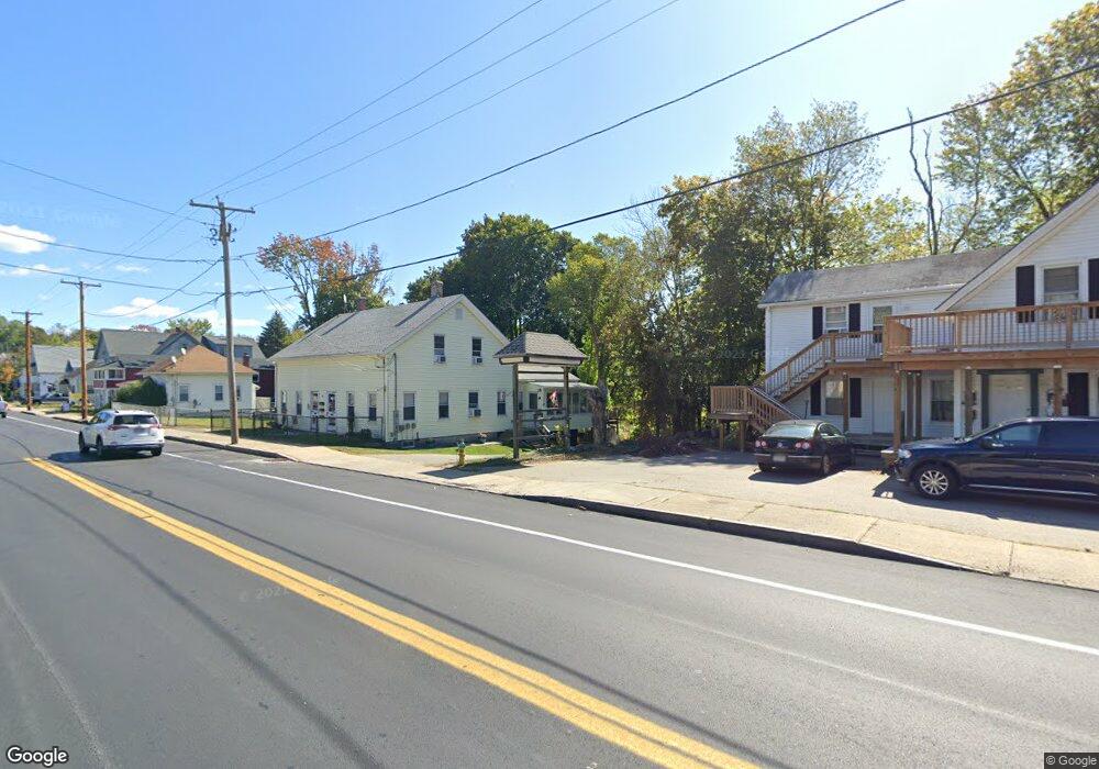
118 Mccarthy Ave Cherry Valley, MA 01611
Estimated Value: $332,000 - $359,000
3
Beds
2
Baths
1,485
Sq Ft
$234/Sq Ft
Est. Value
About This Home
This home is located at 118 Mccarthy Ave, Cherry Valley, MA 01611 and is currently estimated at $346,866, approximately $233 per square foot. 118 Mccarthy Ave is a home located in Worcester County with nearby schools including Leicester Integrated Preschool, Leicester Memorial Elementary School, and Leicester Middle School.
Ownership History
Date
Name
Owned For
Owner Type
Purchase Details
Closed on
Apr 26, 1988
Sold by
Farrell Eleanor E
Bought by
Rosado Alfonso
Current Estimated Value
Home Financials for this Owner
Home Financials are based on the most recent Mortgage that was taken out on this home.
Original Mortgage
$95,000
Interest Rate
9.89%
Mortgage Type
Purchase Money Mortgage
Create a Home Valuation Report for This Property
The Home Valuation Report is an in-depth analysis detailing your home's value as well as a comparison with similar homes in the area
Home Values in the Area
Average Home Value in this Area
Purchase History
| Date | Buyer | Sale Price | Title Company |
|---|---|---|---|
| Rosado Alfonso | $100,000 | -- |
Source: Public Records
Mortgage History
| Date | Status | Borrower | Loan Amount |
|---|---|---|---|
| Closed | Rosado Alfonso | $25,000 | |
| Closed | Rosado Alfonso | $95,000 |
Source: Public Records
Tax History
| Year | Tax Paid | Tax Assessment Tax Assessment Total Assessment is a certain percentage of the fair market value that is determined by local assessors to be the total taxable value of land and additions on the property. | Land | Improvement |
|---|---|---|---|---|
| 2025 | $36 | $303,200 | $62,200 | $241,000 |
| 2024 | $3,373 | $268,800 | $54,500 | $214,300 |
| 2023 | $3,218 | $250,200 | $54,500 | $195,700 |
| 2022 | $3,104 | $221,900 | $51,700 | $170,200 |
| 2021 | $3,360 | $222,100 | $54,500 | $167,600 |
| 2020 | $2,736 | $183,500 | $48,600 | $134,900 |
| 2019 | $2,598 | $172,300 | $43,700 | $128,600 |
| 2018 | $2,594 | $161,200 | $43,700 | $117,500 |
| 2017 | $2,475 | $159,900 | $43,700 | $116,200 |
| 2016 | $2,378 | $159,600 | $54,500 | $105,100 |
| 2015 | $2,321 | $159,600 | $54,500 | $105,100 |
Source: Public Records
Map
Nearby Homes
- 1560 Main St
- 13 Merchant St
- 32 Goddard Memorial Dr
- 56 Goddard Memorial Dr
- 55 Grandview Ave
- 84 Eureka St
- 11 Timrod Dr
- 46 Chapel St
- 103 Henshaw St
- 11 Hulbert Rd Unit 13
- 66 Ledgecrest Dr
- 10 Hulbert Rd Unit 10
- 500 Main St
- 135 Henshaw St
- 18 Carroll St
- 34 Scandinavia Ave
- 213 Henshaw St
- 2 Shelter Ridge Rd
- 37 Gates Rd
- 27 Montague St
- 118 Mccarthy Ave
- 116 Mccarthy Ave
- 122 Mccarthy Ave
- 114 Mccarthy Ave
- 119 Mccarthy Ave
- 121 Mccarthy Ave
- 115 Mccarthy Ave
- 121 Mccarthy Ave
- 113 Mccarthy Ave
- 124 Mccarthy Ave
- 0 Bethel Ave
- 111 Mccarthy Ave
- 125 Mccarthy Ave
- 6 Bethel Ave
- 3 Bethel Ave
- 108 Mccarthy Ave
- 4 Chesnar Dr
- 132 Mccarthy Ave
- 7 Bethel Ave
- 131 Mccarthy Ave
Your Personal Tour Guide
Ask me questions while you tour the home.