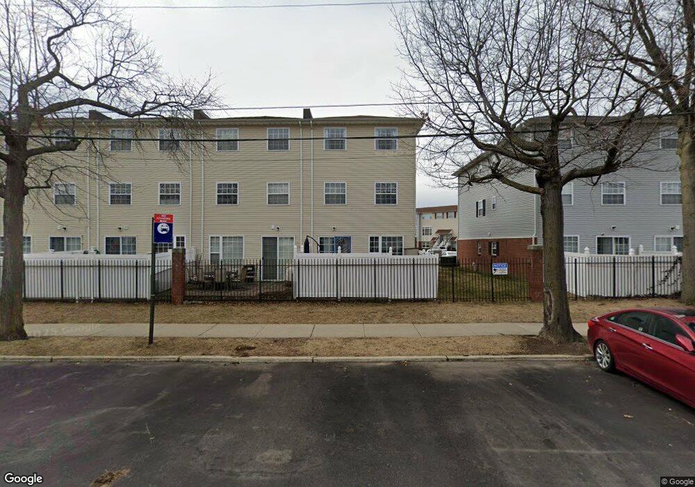
118 Mermaid Ln Unit 174 Bronx, NY 10473
Clason Point NeighborhoodEstimated Value: $506,724 - $697,000
--
Bed
--
Bath
1,185
Sq Ft
$487/Sq Ft
Est. Value
About This Home
This home is located at 118 Mermaid Ln Unit 174, Bronx, NY 10473 and is currently estimated at $576,931, approximately $486 per square foot. 118 Mermaid Ln Unit 174 is a home located in Bronx County with nearby schools including P.S. 182 and Holy Cross Elementary School.
Ownership History
Date
Name
Owned For
Owner Type
Purchase Details
Closed on
Oct 7, 2021
Sold by
Anthony Moody Administrator
Bought by
Trimble Charles and Trimble Mitzy
Current Estimated Value
Home Financials for this Owner
Home Financials are based on the most recent Mortgage that was taken out on this home.
Original Mortgage
$466,416
Outstanding Balance
$425,328
Interest Rate
2.8%
Mortgage Type
Purchase Money Mortgage
Estimated Equity
$151,603
Purchase Details
Closed on
Oct 23, 2007
Sold by
Beechwood Rb Shorehaven Llc
Bought by
Gagliano Marie
Home Financials for this Owner
Home Financials are based on the most recent Mortgage that was taken out on this home.
Original Mortgage
$156,000
Interest Rate
6.47%
Mortgage Type
Purchase Money Mortgage
Create a Home Valuation Report for This Property
The Home Valuation Report is an in-depth analysis detailing your home's value as well as a comparison with similar homes in the area
Home Values in the Area
Average Home Value in this Area
Purchase History
| Date | Buyer | Sale Price | Title Company |
|---|---|---|---|
| Trimble Charles | $475,021 | -- | |
| Gagliano Marie | $197,730 | -- |
Source: Public Records
Mortgage History
| Date | Status | Borrower | Loan Amount |
|---|---|---|---|
| Open | Trimble Charles | $466,416 | |
| Previous Owner | Gagliano Marie | $156,000 |
Source: Public Records
Tax History Compared to Growth
Tax History
| Year | Tax Paid | Tax Assessment Tax Assessment Total Assessment is a certain percentage of the fair market value that is determined by local assessors to be the total taxable value of land and additions on the property. | Land | Improvement |
|---|---|---|---|---|
| 2025 | $1,167 | $31,028 | $550 | $30,478 |
| 2024 | $1,167 | $11,381 | $595 | $10,786 |
| 2023 | $1,180 | $24,769 | $1,498 | $23,271 |
| 2022 | $1,160 | $23,010 | $1,498 | $21,512 |
| 2021 | $0 | $21,205 | $1,498 | $19,707 |
| 2020 | $1,230 | $20,305 | $1,498 | $18,807 |
| 2019 | $1,216 | $21,364 | $1,498 | $19,866 |
| 2018 | $1,185 | $9,386 | $656 | $8,730 |
| 2017 | $1,185 | $8,856 | $672 | $8,184 |
| 2016 | $1,162 | $8,355 | $642 | $7,713 |
| 2015 | $793 | $7,904 | $820 | $7,084 |
| 2014 | $793 | $7,904 | $984 | $6,920 |
Source: Public Records
Map
Nearby Homes
- 170 Soundview Ave
- 106 Bolton Ave Unit 1
- 217 Sunset Blvd
- 230 Fleet Ct Unit 16230
- 122 Stephens Ave
- 109 Fleet Ct
- 100 Neptune Ln Unit 15100
- 160 Stephens Ave
- 230 Sunset Blvd Unit 12230
- 112 Sunset Blvd Unit 11112
- 109 Neptune Ln Unit 5
- 203 White Plains Rd
- 1540 Harding Park
- 618 Harding Park
- 127 Husson Ave
- 114 Beacon Ln
- 1329 Harding Park
- 109 Dolphin Ct
- 246 Soundview Ave
- 197 Surf Dr Unit 123
- 113 Mermaid Ln Unit 174
- 105 Mermaid Ln Unit 174
- 101 Mermaid Ln Unit 174
- 102 Mermaid Ln Unit 174
- 106 Mermaid Ln Unit 174
- 110 Mermaid Ln Unit 174
- 114 Mermaid Ln Unit 174
- 106 Mermaid Ln Unit 302
- 118 Mermaid Ln Unit 296
- 153-174 Mermaid Ln Unit 257
- 117-174 Mermaid Ln Unit 313
- 110-174 Mermaid Ln Unit 300
- 125-174 Mermaid Ln Unit 243
- 135-174 Mermaid Ln Unit 248
- 142-174 Mermaid Ln Unit 284
- 113-174 Mermaid Ln Unit 311
- 139-174 Mermaid Ln Unit 250
- 124-174 Mermaid Ln Unit 291
- 146-174 Mermaid Ln Unit 282
- 106-174 Mermaid Ln Unit 302