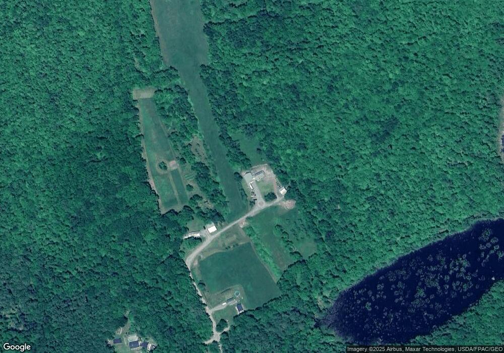
Estimated Value: $188,000 - $417,467
3
Beds
2
Baths
--
Sq Ft
43
Acres
About This Home
This home is located at 118 Merry Rd, Anson, ME 04911 and is currently estimated at $294,367. 118 Merry Rd is a home.
Ownership History
Date
Name
Owned For
Owner Type
Purchase Details
Closed on
Apr 30, 2025
Sold by
Walters Rhonda K and Porter Milton
Bought by
Mckusick Lance
Current Estimated Value
Purchase Details
Closed on
Oct 17, 2022
Sold by
Merry William H and Merry Jodi A
Bought by
Walters Rhonda K and Porter Milton
Home Financials for this Owner
Home Financials are based on the most recent Mortgage that was taken out on this home.
Original Mortgage
$210,000
Interest Rate
5.66%
Mortgage Type
Purchase Money Mortgage
Create a Home Valuation Report for This Property
The Home Valuation Report is an in-depth analysis detailing your home's value as well as a comparison with similar homes in the area
Home Values in the Area
Average Home Value in this Area
Purchase History
| Date | Buyer | Sale Price | Title Company |
|---|---|---|---|
| Mckusick Lance | -- | None Available | |
| Mckusick Lance | -- | None Available | |
| Walters Rhonda K | -- | None Available | |
| Walters Rhonda K | -- | None Available |
Source: Public Records
Mortgage History
| Date | Status | Borrower | Loan Amount |
|---|---|---|---|
| Previous Owner | Walters Rhonda K | $210,000 |
Source: Public Records
Tax History
| Year | Tax Paid | Tax Assessment Tax Assessment Total Assessment is a certain percentage of the fair market value that is determined by local assessors to be the total taxable value of land and additions on the property. | Land | Improvement |
|---|---|---|---|---|
| 2025 | $5,632 | $304,770 | $83,300 | $221,470 |
| 2024 | $4,998 | $304,770 | $83,300 | $221,470 |
| 2023 | $4,160 | $218,930 | $52,410 | $166,520 |
| 2022 | $3,941 | $218,930 | $52,410 | $166,520 |
| 2021 | $3,957 | $190,720 | $45,920 | $144,800 |
| 2020 | $4,296 | $193,090 | $48,290 | $144,800 |
| 2019 | $4,253 | $193,320 | $48,520 | $144,800 |
| 2018 | $4,077 | $194,400 | $49,600 | $144,800 |
| 2017 | $3,895 | $194,760 | $49,960 | $144,800 |
| 2016 | $3,664 | $193,860 | $49,060 | $144,800 |
| 2015 | $3,837 | $191,830 | $47,030 | $144,800 |
| 2014 | $3,830 | $191,480 | $46,680 | $144,800 |
| 2013 | $3,723 | $189,960 | $45,160 | $144,800 |
Source: Public Records
Map
Nearby Homes
- 112 Merry Rd
- 97 Merry Rd
- 72 Dinsmore Rd
- 326 Pease Hill Rd
- 312 Pease Hill Rd
- 304 Pease Hill Rd
- 332 Pease Hill Rd
- 338 Pease Hill Rd
- 282 Pease Hill Rd
- 354 Pease Hill Rd
- 209 Pease Hill Rd
- 242 Pease Hill Rd
- M14 L1-4A Off Miller Rd
- 372 Pease Hill Rd
- 268 Pease Hill Rd
- Lot 4A Off Miller Rd
- 9 Hollin Waite Hill Rd
- 01 Hollin Waite Rd
- 394 Pease Hill Rd
- Lot 29 Hollin Waite Rd
Your Personal Tour Guide
Ask me questions while you tour the home.
