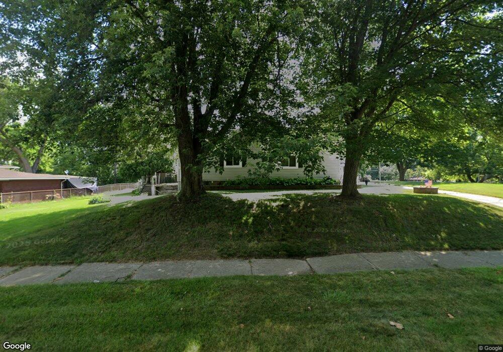
118 N Astor St Pontiac, MI 48342
Estimated Value: $129,942 - $195,000
3
Beds
1
Bath
1,297
Sq Ft
$121/Sq Ft
Est. Value
About This Home
This home is located at 118 N Astor St, Pontiac, MI 48342 and is currently estimated at $156,736, approximately $120 per square foot. 118 N Astor St is a home located in Oakland County with nearby schools including Herrington Elementary School, Pontiac Middle School, and Pontiac High School.
Ownership History
Date
Name
Owned For
Owner Type
Purchase Details
Closed on
Oct 19, 2022
Sold by
Maier Robert William
Bought by
Maier Robert William
Current Estimated Value
Purchase Details
Closed on
Feb 2, 2022
Sold by
Ann Maier Gloria
Bought by
Maier Robert William
Purchase Details
Closed on
Dec 1, 2016
Sold by
Maier Gloria Ann
Bought by
Maier Robert William
Home Financials for this Owner
Home Financials are based on the most recent Mortgage that was taken out on this home.
Original Mortgage
$33,000
Interest Rate
4.08%
Create a Home Valuation Report for This Property
The Home Valuation Report is an in-depth analysis detailing your home's value as well as a comparison with similar homes in the area
Home Values in the Area
Average Home Value in this Area
Purchase History
| Date | Buyer | Sale Price | Title Company |
|---|---|---|---|
| Maier Robert William | -- | -- | |
| Maier Robert William | -- | None Listed On Document | |
| Maier Robert William | $35,000 | None Listed On Document | |
| Maier Robert William | $35,000 | None Available |
Source: Public Records
Mortgage History
| Date | Status | Borrower | Loan Amount |
|---|---|---|---|
| Previous Owner | Maier Robert William | $33,000 |
Source: Public Records
Tax History Compared to Growth
Tax History
| Year | Tax Paid | Tax Assessment Tax Assessment Total Assessment is a certain percentage of the fair market value that is determined by local assessors to be the total taxable value of land and additions on the property. | Land | Improvement |
|---|---|---|---|---|
| 2024 | $900 | $46,230 | $0 | $0 |
| 2023 | $858 | $41,050 | $0 | $0 |
| 2022 | $896 | $36,100 | $0 | $0 |
| 2021 | $870 | $34,440 | $0 | $0 |
| 2020 | $780 | $31,220 | $0 | $0 |
| 2019 | $844 | $27,930 | $0 | $0 |
| 2018 | $810 | $24,610 | $0 | $0 |
| 2017 | $770 | $23,980 | $0 | $0 |
| 2016 | $795 | $23,400 | $0 | $0 |
| 2015 | -- | $21,820 | $0 | $0 |
| 2014 | -- | $19,420 | $0 | $0 |
| 2011 | -- | $25,520 | $0 | $0 |
Source: Public Records
Map
Nearby Homes
- 88 N Astor St
- 53 N Midland Dr
- 717 E Pike St
- 291 Michigan Ave
- 46 N Anderson Ave
- 28 S Marshall St
- 511 E Pike St
- 505 Auburn Ave
- 428 Jordon Rd
- 472 University Dr
- 0 Cesar Chavez Rd Unit 50166552
- 33 S Tasmania St
- 442 Kenilworth Ave
- 413 Thors St
- 70 N Roselawn St
- 97 N Roselawn St
- 18 S Shirley St
- 57 N Roselawn St
- 55 N Roselawn St
- 53 N Roselawn St
- 126 N Astor St
- 132 N Astor St
- 136 N Astor St
- 142 N Astor St
- 123 N Astor St
- 127 N Astor St
- 117 N Astor St
- 92 N Astor St
- 131 N Astor St
- 111 N Astor St
- 000 Raymond St
- 145 Raymond St
- 137 N Astor St
- 105 N Astor St
- 141 N Astor St
- 560 Michigan Ave
- 145 N Astor St
- 95 N Astor St
- 158 N Astor St
- 572 Michigan Ave