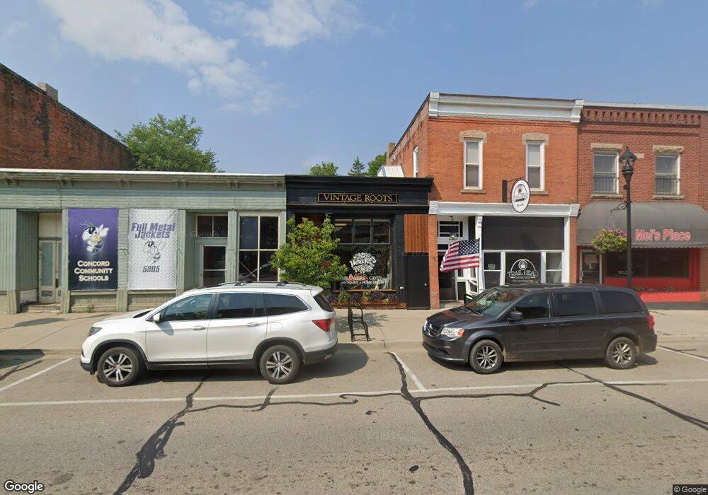
118 N Main St Concord, MI 49237
Estimated Value: $123,864
--
Bed
--
Bath
1,600
Sq Ft
$77/Sq Ft
Est. Value
About This Home
This home is located at 118 N Main St, Concord, MI 49237 and is currently estimated at $123,864, approximately $77 per square foot. 118 N Main St is a home located in Jackson County with nearby schools including Concord Elementary School, Concord Middle School, and Concord High School.
Ownership History
Date
Name
Owned For
Owner Type
Purchase Details
Closed on
Mar 26, 2019
Sold by
Moore Eric A and Moore Sonya N
Bought by
Kessman Tracy and Kessman Brian
Current Estimated Value
Purchase Details
Closed on
Apr 11, 2001
Sold by
Haughey Don D and Haughey Julia A
Bought by
Moore Charles L and Moore Sonya N
Purchase Details
Closed on
Jul 8, 1996
Sold by
Haughey Don D and Haughey Julia A
Bought by
Moore Charles L and Moore Sonya N
Purchase Details
Closed on
Jul 1, 1996
Sold by
Haughey Don D and Haughey Julia A
Bought by
Moore Charles L and Moore Sonya N
Create a Home Valuation Report for This Property
The Home Valuation Report is an in-depth analysis detailing your home's value as well as a comparison with similar homes in the area
Home Values in the Area
Average Home Value in this Area
Purchase History
| Date | Buyer | Sale Price | Title Company |
|---|---|---|---|
| Kessman Tracy | $16,000 | None Available | |
| Moore Charles L | $25,000 | First American Title Ins Co | |
| Moore Charles L | -- | -- | |
| Moore Charles L | -- | -- |
Source: Public Records
Tax History Compared to Growth
Tax History
| Year | Tax Paid | Tax Assessment Tax Assessment Total Assessment is a certain percentage of the fair market value that is determined by local assessors to be the total taxable value of land and additions on the property. | Land | Improvement |
|---|---|---|---|---|
| 2025 | $2,450 | $46,200 | $2,700 | $43,500 |
| 2024 | $1,222 | $47,800 | $2,300 | $45,500 |
| 2023 | $554 | $36,300 | $36,300 | $0 |
| 2022 | $1,351 | $36,500 | $36,500 | $0 |
| 2021 | $1,324 | $38,100 | $700 | $37,400 |
| 2020 | $774 | $11,600 | $0 | $0 |
| 2019 | $1,083 | $40,100 | $0 | $0 |
| 2018 | $822 | $43,400 | $0 | $0 |
| 2017 | $761 | $37,600 | $0 | $0 |
| 2016 | $173 | $36,350 | $850 | $35,500 |
| 2015 | -- | $34,200 | $34,200 | $0 |
| 2014 | -- | $32,550 | $32,550 | $0 |
| 2013 | -- | $32,550 | $32,550 | $0 |
Source: Public Records
Map
Nearby Homes
- 0 River Bend Drive Lot #11
- 0 River Bend Drive Lot #10
- 0 River Bend Drive Lot #9
- 0 River Bend Drive Lot #5
- 0 River Bend Drive Lot #4
- 0 River Bend Drive Lot #3
- 213 Railroad St
- 110 Spring St
- 228 W Center St
- 301 Hanover St
- 229 S Concord St
- 519 Hanover St
- 0 Albion Rd
- 731 Sears Rd
- 516 Cecil Dr
- 0 River Bend Drive Lot #1
- 0 River Bend Drive Lot #2
- 7210 Pulaski Rd Rd
- 636 Swains Lake Dr
- 10175 Spring Arbor Rd