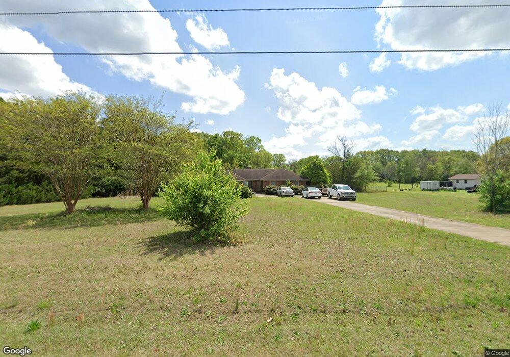
118 N Tamie Cir Kathleen, GA 31047
Estimated Value: $288,000 - $352,819
3
Beds
2
Baths
1,990
Sq Ft
$159/Sq Ft
Est. Value
About This Home
This home is located at 118 N Tamie Cir, Kathleen, GA 31047 and is currently estimated at $315,705, approximately $158 per square foot. 118 N Tamie Cir is a home located in Houston County with nearby schools including Hilltop Elementary School, Bonaire Middle School, and Veterans High School.
Ownership History
Date
Name
Owned For
Owner Type
Purchase Details
Closed on
Jan 25, 2001
Sold by
Gautney Larry W and Gautney Lillian I
Bought by
Clark Charlie W and Carla H*
Current Estimated Value
Purchase Details
Closed on
Aug 29, 1991
Sold by
Mullis Doyce E and Mullis Kathy C
Bought by
Gautney Larry W and Gautney Lillian I
Purchase Details
Closed on
Dec 29, 1983
Sold by
Butler Marion K and Carol S*
Bought by
Mullis Doyce E and Mullis Kathy C
Purchase Details
Closed on
Aug 24, 1979
Sold by
F S & W Inc
Bought by
Butler Marion K and Carol S*
Create a Home Valuation Report for This Property
The Home Valuation Report is an in-depth analysis detailing your home's value as well as a comparison with similar homes in the area
Home Values in the Area
Average Home Value in this Area
Purchase History
| Date | Buyer | Sale Price | Title Company |
|---|---|---|---|
| Clark Charlie W | $150,000 | -- | |
| Gautney Larry W | $89,000 | -- | |
| Mullis Doyce E | $9,000 | -- | |
| Butler Marion K | $8,000 | -- |
Source: Public Records
Tax History Compared to Growth
Tax History
| Year | Tax Paid | Tax Assessment Tax Assessment Total Assessment is a certain percentage of the fair market value that is determined by local assessors to be the total taxable value of land and additions on the property. | Land | Improvement |
|---|---|---|---|---|
| 2024 | $2,686 | $114,280 | $35,920 | $78,360 |
| 2023 | $2,310 | $97,560 | $35,520 | $62,040 |
| 2022 | $2,286 | $96,600 | $35,520 | $61,080 |
| 2021 | $1,992 | $84,000 | $30,000 | $54,000 |
| 2020 | $1,697 | $71,520 | $21,280 | $50,240 |
| 2019 | $1,697 | $71,520 | $21,280 | $50,240 |
| 2018 | $1,697 | $71,520 | $21,280 | $50,240 |
| 2017 | $1,699 | $71,520 | $21,280 | $50,240 |
| 2016 | $1,710 | $71,880 | $21,280 | $50,600 |
| 2015 | $1,713 | $71,880 | $21,280 | $50,600 |
| 2014 | -- | $71,880 | $21,280 | $50,600 |
| 2013 | -- | $71,880 | $21,280 | $50,600 |
Source: Public Records
Map
Nearby Homes
- 119 Richfield Cir
- 2006 Melrose Place
- 510 Mt Zion Rd
- 510 Mount Zion Rd
- 231 Grove Ln
- 135 Pond Dr
- 101 Pond Dr
- 108 Cloverdale Dr
- 105 Selwyn Ct
- 216 Hearthwood Dr
- 105 Cabin Cove Dr
- 204 Weeping Moss Way
- 410 Woodlands Blvd
- 102 Haywood Dr
- 210 Kenna Way
- 323 Haywood Dr
- 301 Downing Cir
- 527 Bristleleaf Path
- 117 Black Birch Ln
- 115 Black Birch Ln
- 116 N Tamie Cir
- 125 N Tamie Cir
- 123 N Tamie Cir
- 127 N Tamie Cir
- 114 N Tamie Cir
- 122 N Tamie Cir
- 121 N Tamie Cir
- 129 N Tamie Cir
- 122 Southwind Dr
- 119 N Tamie Cir
- N N Tamie Cir
- 112 N Tamie Cir
- 207 Castlebury Cir
- 131 N Tamie Cir
- 120 Southwind Dr
- 209 Castlebury Cir
- 125 Southwind Dr
- 211 Castlebury Cir
- 205 Castlebury Cir
- 118 Southwind Dr