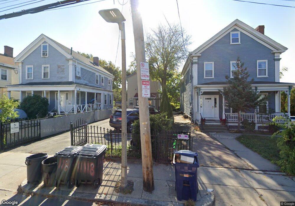
118 Park St Dorchester, MA 02122
Fields Corner East NeighborhoodEstimated Value: $720,348 - $945,000
5
Beds
3
Baths
1,548
Sq Ft
$510/Sq Ft
Est. Value
About This Home
This home is located at 118 Park St, Dorchester, MA 02122 and is currently estimated at $789,087, approximately $509 per square foot. 118 Park St is a home located in Suffolk County with nearby schools including UP Academy Charter School of Dorchester and Helen Y. Davis Leadership Academy Charter Public School.
Ownership History
Date
Name
Owned For
Owner Type
Purchase Details
Closed on
Jul 28, 1995
Sold by
Egan Sean D
Bought by
Hiep Do
Current Estimated Value
Home Financials for this Owner
Home Financials are based on the most recent Mortgage that was taken out on this home.
Original Mortgage
$42,000
Interest Rate
7.56%
Mortgage Type
Purchase Money Mortgage
Create a Home Valuation Report for This Property
The Home Valuation Report is an in-depth analysis detailing your home's value as well as a comparison with similar homes in the area
Home Values in the Area
Average Home Value in this Area
Purchase History
| Date | Buyer | Sale Price | Title Company |
|---|---|---|---|
| Hiep Do | $45,000 | -- |
Source: Public Records
Mortgage History
| Date | Status | Borrower | Loan Amount |
|---|---|---|---|
| Open | Hiep Do | $107,000 | |
| Closed | Hiep Do | $124,000 | |
| Closed | Hiep Do | $62,000 | |
| Closed | Hiep Do | $42,000 |
Source: Public Records
Tax History Compared to Growth
Tax History
| Year | Tax Paid | Tax Assessment Tax Assessment Total Assessment is a certain percentage of the fair market value that is determined by local assessors to be the total taxable value of land and additions on the property. | Land | Improvement |
|---|---|---|---|---|
| 2025 | $6,567 | $567,100 | $241,800 | $325,300 |
| 2024 | $6,268 | $575,000 | $207,100 | $367,900 |
| 2023 | $6,176 | $575,000 | $207,100 | $367,900 |
| 2022 | $5,794 | $532,500 | $191,800 | $340,700 |
| 2021 | $5,288 | $495,600 | $184,400 | $311,200 |
| 2020 | $4,710 | $446,000 | $175,600 | $270,400 |
| 2019 | $4,455 | $422,700 | $149,700 | $273,000 |
| 2018 | $4,065 | $387,900 | $149,700 | $238,200 |
| 2017 | $3,986 | $376,400 | $149,700 | $226,700 |
| 2016 | $3,944 | $358,500 | $149,700 | $208,800 |
| 2015 | $3,455 | $285,300 | $102,900 | $182,400 |
| 2014 | $3,384 | $269,000 | $102,900 | $166,100 |
Source: Public Records
Map
Nearby Homes
- 32 Gibson St Unit 3
- 20 Parkman St Unit 2
- 34 Dix St Unit 3
- 382 Adams St Unit 384-1
- 28 Dix St Unit 3
- 381 Adams St Unit 2
- 381 Adams St Unit 1
- 381 Adams St Unit 3
- 1613 Dorchester Ave Unit 1
- 20 Leslie St
- 17 Lafield St Unit 2
- 15 Duncan St
- 334 Centre St Unit 101
- 334 Centre St Unit 2
- 43 Robinson St Unit 3
- 15 Mather St
- 32 Beach St Unit 1
- 23 Tonawanda St
- 6 Agawam St
- 96 King St Unit 1
- 116 Park St
- 120 Park St
- 120 Park St
- 120 Park St Unit A
- 120 Park St Unit R
- 120 Park St Unit 1
- 120 Park St Unit 2
- 114 Park St
- 124 Park St
- 122R Park St
- 126 Park St
- 117 Park St
- 117 Park St Unit 3
- 117 Park St Unit 2
- 117 Park St Unit 1
- 117 Park St
- 112 Park St
- 6 Bispham St
- 6 Bispham St Unit 6 Bispham 1
- 6 Bispham St