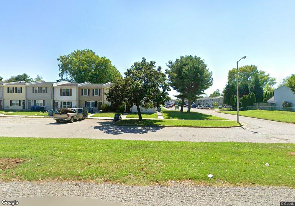
118 Pheasant Dr Elkton, MD 21921
Estimated Value: $126,000 - $149,000
--
Bed
2
Baths
1,152
Sq Ft
$119/Sq Ft
Est. Value
About This Home
This home is located at 118 Pheasant Dr, Elkton, MD 21921 and is currently estimated at $136,721, approximately $118 per square foot. 118 Pheasant Dr is a home located in Cecil County with nearby schools including Holly Hall Elementary School, Elkton Middle School, and Elkton High School.
Ownership History
Date
Name
Owned For
Owner Type
Purchase Details
Closed on
May 26, 2015
Sold by
Rgs Investments Llc
Bought by
Homes For Life Llc
Current Estimated Value
Purchase Details
Closed on
Sep 8, 2006
Sold by
Atv Investments Llc
Bought by
Rgs Investments Llc
Purchase Details
Closed on
Sep 1, 2006
Sold by
Atv Investments Llc
Bought by
Rgs Investments Llc
Purchase Details
Closed on
Dec 29, 2005
Sold by
Moore David W and Moore Robin E
Bought by
Atv Investments Llc
Purchase Details
Closed on
Dec 20, 2005
Sold by
Moore David W and Moore Robin E
Bought by
Atv Investments Llc
Purchase Details
Closed on
Jun 2, 1994
Sold by
Drummonds
Bought by
Moore David W
Home Financials for this Owner
Home Financials are based on the most recent Mortgage that was taken out on this home.
Original Mortgage
$62,400
Interest Rate
8.49%
Create a Home Valuation Report for This Property
The Home Valuation Report is an in-depth analysis detailing your home's value as well as a comparison with similar homes in the area
Home Values in the Area
Average Home Value in this Area
Purchase History
| Date | Buyer | Sale Price | Title Company |
|---|---|---|---|
| Homes For Life Llc | $77,500 | Ardent Title Company Llc | |
| Rgs Investments Llc | $80,000 | -- | |
| Rgs Investments Llc | $80,000 | -- | |
| Atv Investments Llc | $79,000 | -- | |
| Atv Investments Llc | $79,000 | -- | |
| Moore David W | $62,500 | -- |
Source: Public Records
Mortgage History
| Date | Status | Borrower | Loan Amount |
|---|---|---|---|
| Previous Owner | Moore David W | $62,400 | |
| Closed | Atv Investments Llc | -- |
Source: Public Records
Tax History Compared to Growth
Tax History
| Year | Tax Paid | Tax Assessment Tax Assessment Total Assessment is a certain percentage of the fair market value that is determined by local assessors to be the total taxable value of land and additions on the property. | Land | Improvement |
|---|---|---|---|---|
| 2025 | $1,501 | $86,767 | $0 | $0 |
| 2024 | $1,415 | $81,800 | $15,000 | $66,800 |
| 2023 | $1,293 | $74,333 | $0 | $0 |
| 2022 | $1,178 | $66,867 | $0 | $0 |
| 2021 | $1,055 | $59,400 | $15,000 | $44,400 |
| 2020 | $957 | $53,467 | $0 | $0 |
| 2019 | $850 | $47,533 | $0 | $0 |
| 2018 | $744 | $41,600 | $10,000 | $31,600 |
| 2017 | $744 | $41,600 | $0 | $0 |
| 2016 | $782 | $41,600 | $0 | $0 |
| 2015 | $782 | $46,300 | $0 | $0 |
| 2014 | -- | $46,300 | $0 | $0 |
Source: Public Records
Map
Nearby Homes
- 0 W Main St Unit MDCC2016174
- 14 Kent Rd
- 17 Kent Rd
- 9 Kings Ct
- 4043A Blue Ball Rd
- Lot#2, Lot#3, Lot#4 Old Elk Neck Rd
- 5 Thyme St
- 18 Thyme St
- 434 Buttonwoods Rd
- 134 Wesley St
- 430 Buttonwoods Rd
- 115 Milburn St
- 2324 Oldfield Point Rd
- 115 Bethel St
- 90 Jones Chapel Rd
- 3303 Old Elk Neck Rd
- 111 Brown St
- 1 Elizabeth St
- 0 Elizabeth St
- 103 Whitehall Rd
- 116 Pheasant Dr
- 114 Pheasant Dr
- 112 Pheasant Dr
- 110 Pheasant Dr
- 102 Mallard Ct
- 108 Pheasant Dr
- 104 Mallard Ct
- 120 Pheasant Dr
- 106 Pheasant Dr
- 106 Mallard Ct
- 122 Pheasant Dr
- 104 Pheasant Dr
- 108 Mallard Ct
- 124 Pheasant Dr
- 102 Pheasant Dr
- 110 Mallard Ct
- 103 Mallard Ct
- 119 Huntsman Dr
- 126 Pheasant Dr
- 100 Pheasant Dr