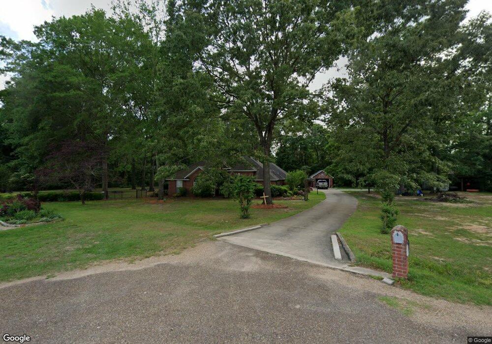
118 Ralph Dr Texarkana, TX 75501
Estimated Value: $266,000 - $358,000
Studio
--
Bath
2,326
Sq Ft
$137/Sq Ft
Est. Value
About This Home
This home is located at 118 Ralph Dr, Texarkana, TX 75501 and is currently estimated at $319,722, approximately $137 per square foot. 118 Ralph Dr is a home located in Bowie County with nearby schools including Liberty-Eylau Early Childhood Center, Liberty-Eylau Primary School, and Liberty-Eylau C.K. Bender Elementary Campus.
Ownership History
Date
Name
Owned For
Owner Type
Purchase Details
Closed on
Oct 12, 2016
Sold by
Robardey Deboria
Bought by
Robardey Deboria
Current Estimated Value
Home Financials for this Owner
Home Financials are based on the most recent Mortgage that was taken out on this home.
Original Mortgage
$0
Interest Rate
3.5%
Mortgage Type
Credit Line Revolving
Create a Home Valuation Report for This Property
The Home Valuation Report is an in-depth analysis detailing your home's value as well as a comparison with similar homes in the area
Purchase History
| Date | Buyer | Sale Price | Title Company |
|---|---|---|---|
| Robardey Deboria | -- | Mortgage Connect Lp |
Source: Public Records
Mortgage History
| Date | Status | Borrower | Loan Amount |
|---|---|---|---|
| Closed | Robardey Deboria | $0 | |
| Closed | Robardey Deboria | $79,800 |
Source: Public Records
Tax History
| Year | Tax Paid | Tax Assessment Tax Assessment Total Assessment is a certain percentage of the fair market value that is determined by local assessors to be the total taxable value of land and additions on the property. | Land | Improvement |
|---|---|---|---|---|
| 2025 | $823 | $324,750 | -- | -- |
| 2024 | $823 | $292,318 | -- | -- |
| 2023 | $3,971 | $265,744 | $0 | $0 |
| 2022 | $4,163 | $276,494 | $22,400 | $254,094 |
| 2021 | $4,024 | $219,623 | $21,000 | $198,623 |
| 2020 | $3,890 | $210,753 | $21,000 | $189,753 |
| 2019 | $3,929 | $202,294 | $21,000 | $181,294 |
| 2018 | $3,804 | $195,813 | $21,000 | $174,813 |
| 2017 | $3,727 | $192,625 | $21,000 | $171,625 |
| 2016 | $3,638 | $187,998 | $21,000 | $166,998 |
| 2015 | $2,286 | $186,460 | $21,000 | $165,460 |
| 2014 | $2,286 | $184,582 | $21,000 | $163,582 |
Source: Public Records
Map
Nearby Homes
- 317 Maryland Dr
- 38 W Starlite Dr
- 0 Cummings Ln Unit 203179
- 0 Randall Rd
- 194 W Starlite Dr
- 6631 Buchanan Loop Rd
- 0 Lakeshore Unit 200404
- Lot 1 B2 Quail Brook
- 39 Quail Brook Dr
- 6606 Us-59
- 6606 Us Highway 59 S
- 0 Elmwood Dr
- 7689 Us-59
- 7685 State Highway 59
- 135 White Oak Place
- 5789 U S 59
- 206 Fm 3244
- 3514 Buchanan Loop Rd
- 0 Sherwood Acres Ln
- 510 Greenwood Rd
- 120 Ralph Dr
- 114 Ralph Dr
- 115 Ralph Dr
- 409 Brookfield St
- 308 1/2 Maryland Dr
- 308 Maryland Dr
- 113 Ralph Dr
- 122 Ralph Dr
- 112 Ralph Dr
- 407 Brookfield St
- 310 1/2 Maryland Dr
- 403 Brookfield St
- 111 Ralph Dr
- 116 Coke Dr
- 110 Ralph Dr
- 114 Coke Dr
- 401 Brookfield St
- 307 Maryland Dr
- 410 Brookfield St
- 109 Ralph Dr
Your Personal Tour Guide
Ask me questions while you tour the home.